From the ride
A few frames from the day.
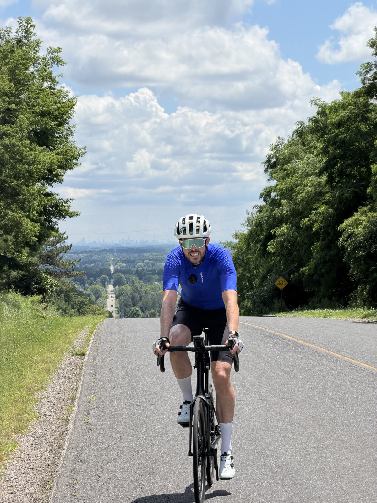
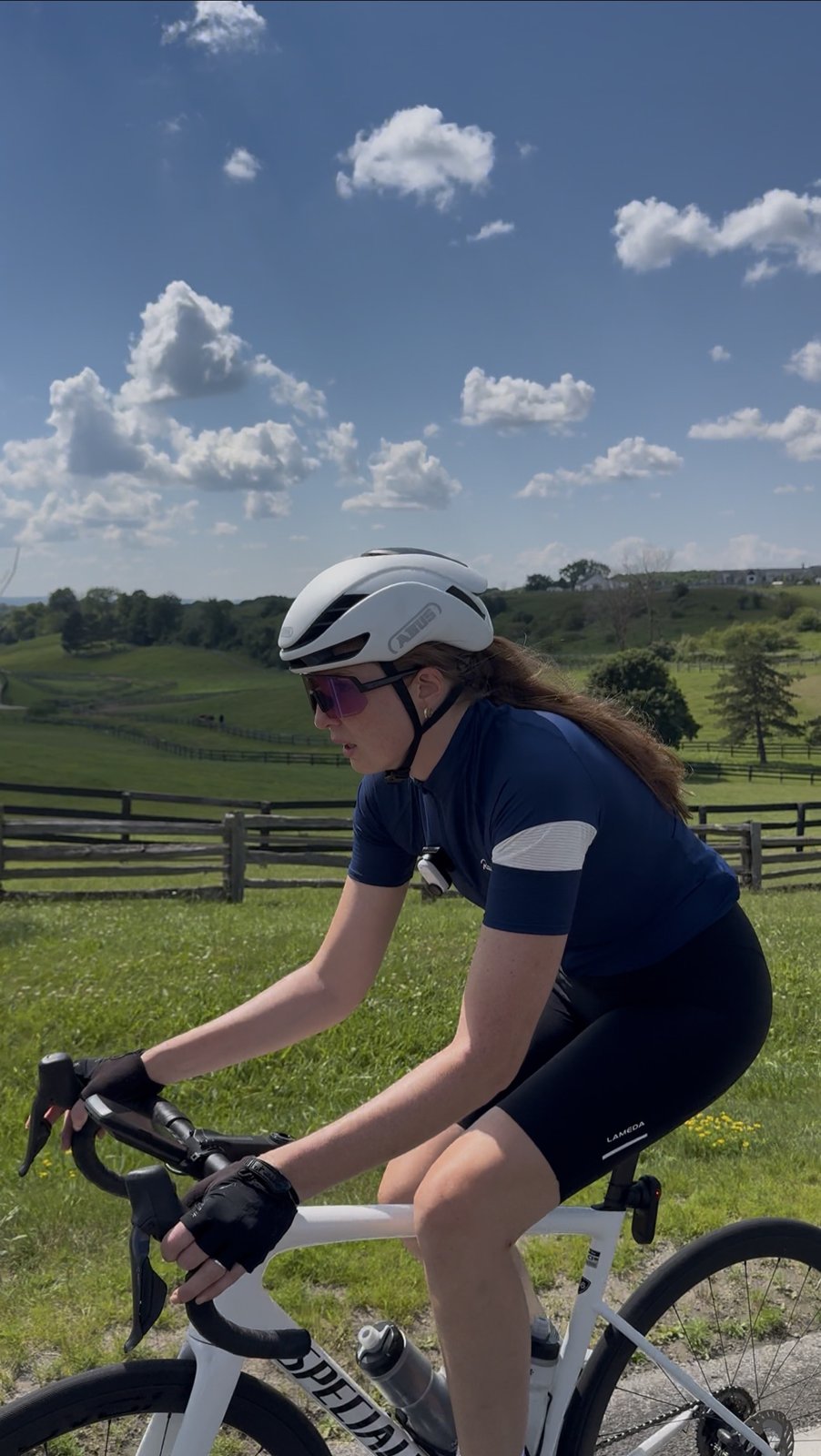
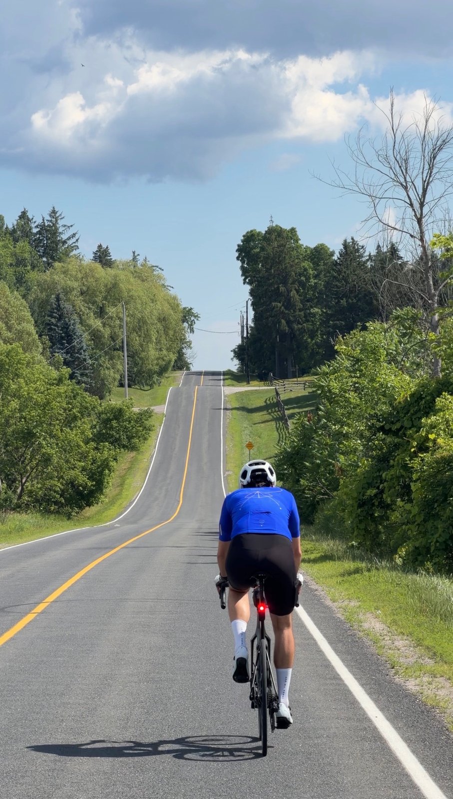
A 70 km loop from Nobleton up into the Caledon hills, with real climbing on country roads, a halfway reset in Caledon East, and a distant view of the Toronto skyline you have to earn.
Map, elevation, and the route file to take with you.
The hills everyone near Toronto talks about, ridden as a loop from Nobleton.
"Caledon is one of the few places this close to Toronto where you can actually get some proper hills, and on a clear day you even get the city on the horizon."
Ask around Toronto for somewhere to find real climbing and the answer, more often than not, is Caledon. This corner of the province sits where the Niagara Escarpment meets the Oak Ridges Moraine, and the collision of the two shows up under your wheels: rolling ridgelines, wooded river valleys, and concession roads that never seem to sit level for long. It has become the go-to escape for road riders north of the city, and this loop is our version of it, built to string together the best of the climbing without ever feeling like a slog.
It doesn't actually start in Caledon. We rolled out from Nobleton, a small village in King Township that was settled back in 1812 as a coaching stop between the early trading routes, and today makes an easy, low-key place to park and begin. The climbing starts almost immediately. The first half is rolling road after rolling road that never really flattens out, so you settle into a rhythm of up-and-over and let the countryside open up around you. The high point comes early: near the 20 km mark, once you have topped the climb on Mount Pleasant Road, it is worth stopping and turning to look south. On a clear day the towers of downtown Toronto sit on the horizon, small and far off, a skyline you rarely get to see from the saddle. It is the kind of view you have to earn, and this route earns it for you.
Halfway, the loop drops into Caledon East, one of the string of character villages (Palgrave, Inglewood, Belfountain and Cheltenham among them) that give this part of the country its charm. It is the natural place to reset before heading back out. From there the back half does not let up: more punchy hills, more long views over farm fields and forest, and a final quiet stretch that rolls you back toward Nobleton. Seventy kilometres and the better part of a thousand metres of climbing make this a proper hill day rather than a cruise, so pack what you need, because the places to refuel are a little further between than usual. The payoff is some of the best road riding within an hour of the city.
The reel. Open on Instagram →
Food, refreshments, parking, and local hints. Filter below.
We parked at the Nobleton Public Library, an easy, quiet place to leave the car and roll straight out onto the country roads. The village has a couple of spots to grab a coffee or fill bottles before you head off, so it is a simple, low-stress start and finish for the loop.
Open in Maps →Do not expect a warm-up. The climbing kicks in almost right away and the first half is rolling roads that never really flatten out. Settle into a steady rhythm rather than chasing each rise, and let the legs come to you. There is plenty more to come on the back half.
Open in Maps →The one not to miss. Once you have topped the climb on Mount Pleasant Road, stop and turn to look back south. On a clear day the downtown Toronto skyline sits far off on the horizon, a view of the city we had never seen from the bike before. Give it a second before you drop on; this is the one you came for.
Open in Maps →Halfway through, we stopped at the Four Corners Bakery in Caledon East (the "4 Corners Cafe" from the reel). Coffee, fresh baking and a hot table, somewhere to sit, and a proper reset before heading back out. An independent spot right on Airport Road, easy to roll up to. Hours shift, so it is worth a quick check if you are timing your ride around it.
Open in Maps →The back half does not let up. Expect more punchy hills and more big views over farm fields and forest, then a long quieter stretch to roll it back to where you started. Save something for the climbs late on, because they are short but they bite this deep into the ride.
Open in Maps →Outside Nobleton and Caledon East the places to refuel are a little further between than usual, so top up your bottles and pockets when you can. These are shared country roads, so take care through the faster sections and keep an eye out for traffic.
Open in Maps →A few frames from the day.