Home / Ontario & Quebec Rides / Forks of the Credit Gravel Loop
Forks of the Credit Gravel Loop

Forks of the Credit Gravel Loop

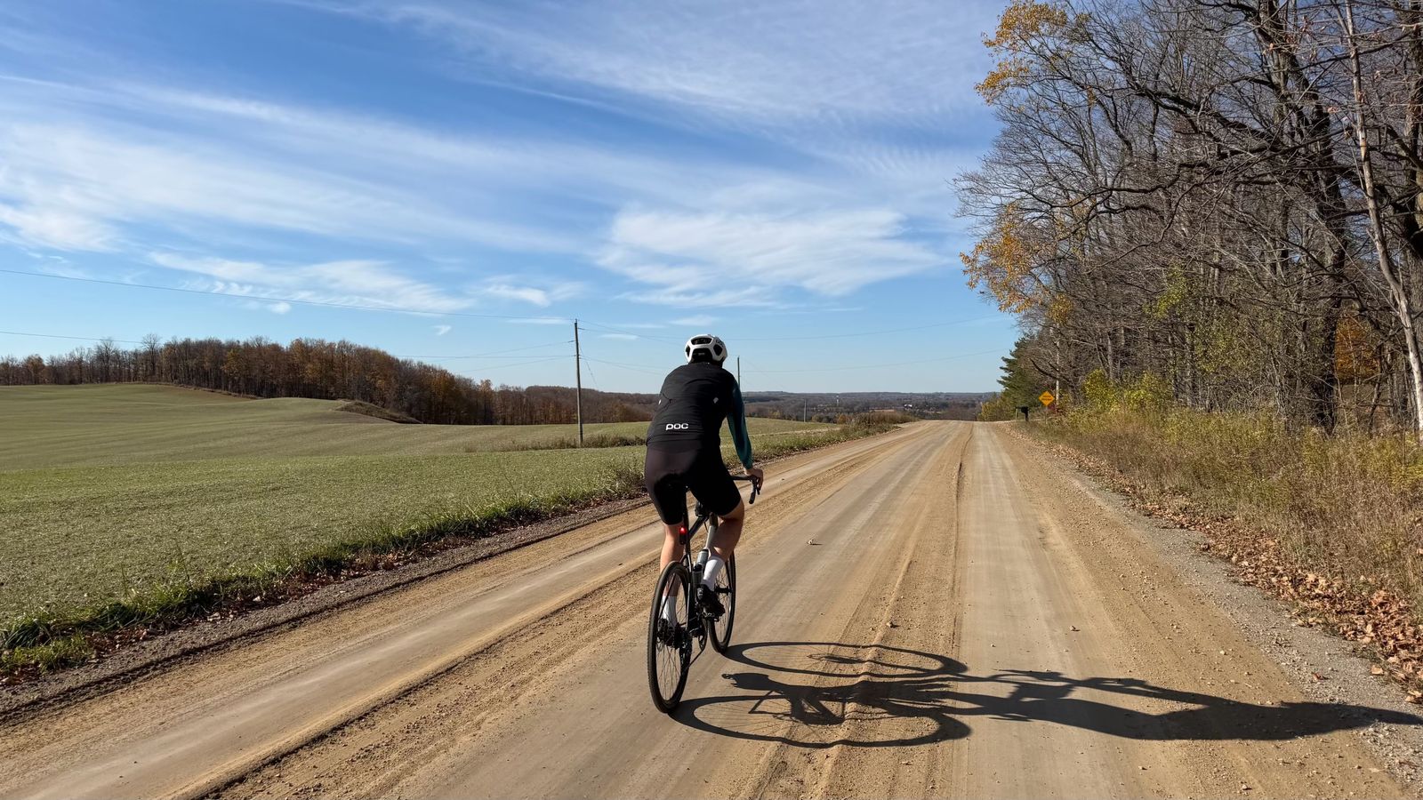
A 59 km gravel loop from Inglewood through the Caledon Hills to coffee in Erin, then along the Elora Cataract Trailway into the Forks of the Credit.

Distance

59 km

Elevation

710 m

Ride time

2.5–3.5 hr

Difficulty

Moderate

The route

Map, elevation, and the file to take with you

⤓ Download the GPX file

About this ride

Two old rail lines, the Caledon Hills and a river that splits in two

Caledon Hills gravel, a patio coffee in Erin, and a rugged, beautiful finish through the Forks of the Credit.

This loop sits in the Caledon Hills, about an hour northwest of Toronto, around the point where the two upper branches of the Credit River meet. Both trailways on the route are old railway beds from the late 1870s, and the villages they link grew up around them. Inglewood, where we parked, still has the general store and railway hotel drawn on its 1883 village plan.

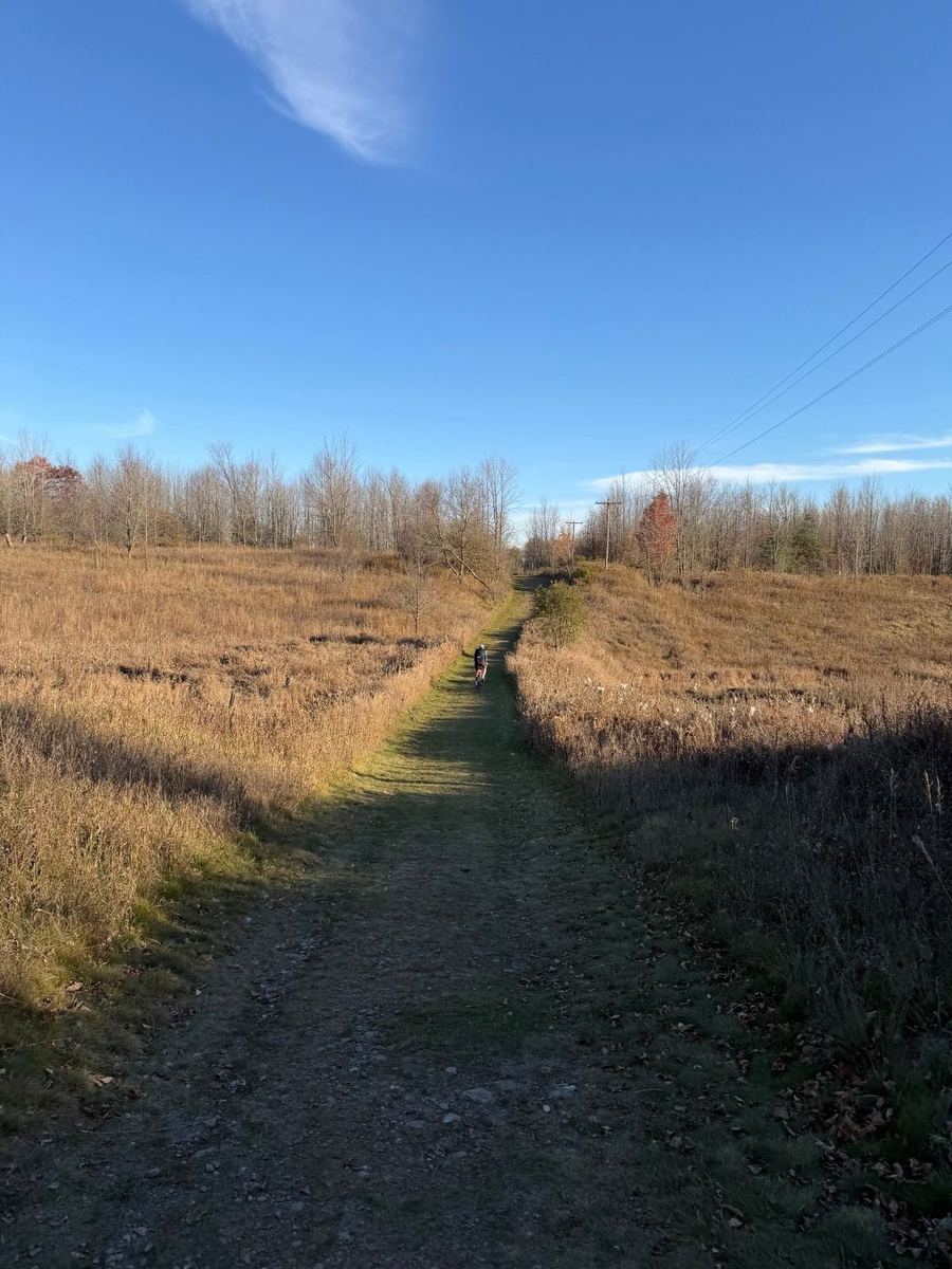
The first ten kilometres run south on the Caledon Trailway through Cheltenham to Terra Cotta. From there the route heads west and climbs about 180 metres over the next ten kilometres, then rolls through farm country to Erin, a mill village that started with mills on the Credit in the late 1820s. The trail into town comes out at the back of Tin Roof Cafe on Main Street at about 40 km.

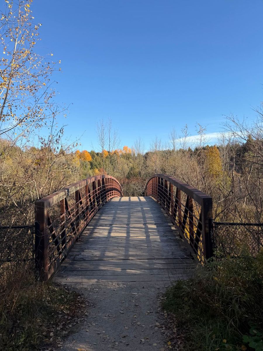
Leaving Erin, the Elora Cataract Trailway follows the old Credit Valley Railway line east to Cataract, a hamlet named for the falls in what is now Forks of the Credit Provincial Park. The way into the park from the end of the trailway is rugged and one of the prettiest parts of the day, with a steep climb and a section or two that is easier on foot. If you would rather skip it, stay on the roads from the end of the trailway to the park's front entrance and ride a smaller loop inside the park instead. From the park, paved rolling roads carry you back to Inglewood.
Along the way

Stops and tips

6 of 6 showing

Parking · Start

Caledon Trailway, Inglewood

0 km · trailway lot, Inglewood

Where we left the car. The loop starts straight onto the Caledon Trailway heading south, so there is no road riding to get going.

Open in Maps →
Food · Start

Caledon Hills Cycling

0 km · 15640 McLaughlin Rd, Inglewood

The bike shop is right where we parked, and it has a coffee shop attached if you want to start the ride off right. Handy for anything the bike needs before you head out, too.

Open in Maps →
Hint · Before you go

Check both trailways first

0 to 10 km and ~41 to 48 km · Caledon Trailway, Elora Cataract Trailway

Construction has been ongoing on both trailways this route uses. Check the Town of Caledon and Credit Valley Conservation for closures and detours before you set off.

Hint · Early

Climbing out of Terra Cotta

~10 to 20 km · west of Terra Cotta

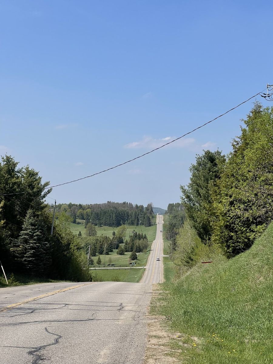
Off the trailway, the route climbs west toward Erin, about 180 metres over ten kilometres, in a few separate climbs rather than one long one. From there it rolls through farm country the rest of the way.

Food · ~40 km

Tin Roof Cafe

~40 km · 4 Main St, Erin

The coffee stop. The trail into Erin brings you out at the back of the cafe, with a set of stairs and a small bridge to walk just before it. Locally roasted organic coffee, house baking, breakfast and lunch, and a patio. Worth checking their hours ahead if you are setting off late.

Open in Maps →
Hint · The Forks

The Forks of the Credit

~48 to 50 km · Forks of the Credit Provincial Park

The entrance at the end of the Elora Cataract Trailway is rugged and well worth it, starting with a steep climb on a rough path, and there may be a section or two to walk. This is where a gravel bike with wider tires earns its keep. Leave the park through the main parking lot.

More rides

From Ontario and Quebec

See all 22 rides →