Home / Wild Atlantic Way / Day 4 of 8
Bantry to Eyeries

Bantry to Eyeries

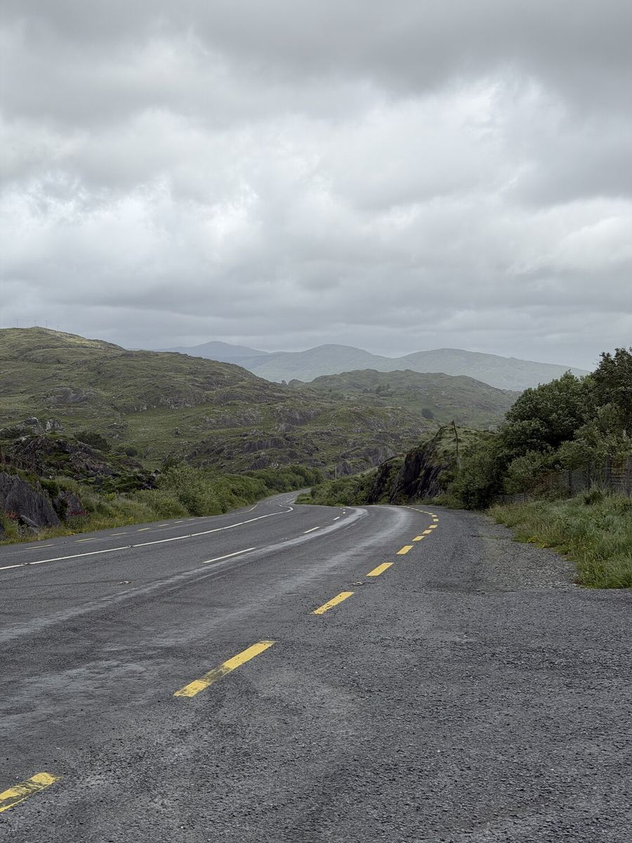
Out of Bantry through Glengarriff and onto the Beara, one of the wildest fingers of the southwest: 85 km of mountains, open sea and empty roads, finishing in the painted village of Eyeries above Coulagh Bay.

Distance

85 km

Elevation

1,203 m

Ride time

5–6 hr

Difficulty

Challenging

Created in partnership with Tourism Ireland. All routes, opinions, and recommendations are our own.

The route

Map, elevation, and the file to take with you

Download the GPX file

About this day

West Cork behind, the Beara ahead

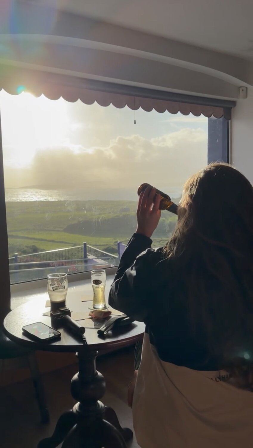
Some of the evenings you never planned turn out to be the ones you keep: a pint in hand, Coulagh Bay laid out in front of you, and nowhere else you'd rather be.

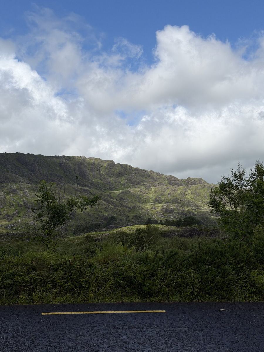
The Beara Peninsula is the middle of the three fingers of land that reach into the Atlantic here, quieter and rawer than the Ring of Kerry to the north and less polished than the Mizen to the south. The Caha and Miskish mountains run down its spine like a rocky backbone, the sea is never far on either side, and the villages are small and far apart. Roughly halfway sits Castletownbere, Ireland's largest whitefish port, a proper working harbour town where trawlers unload their catch and the pubs and restaurants along the pier feed whoever comes off the water. We stopped for lunch at Lynch's on the Pier, right on the harbour, before carrying on.

Rather than ride the full outer loop around Allihies and Dursey, we cut north on a more direct road across the peninsula toward Eyeries. It was the kind of choice the Beara rewards either way: the shorter line still climbs and drops through the same rugged, empty country, all bare rock, bog and grazing sheep, with the mountains close on one side and glimpses of the sea on the other. Everyone we had spoken to promised the Beara would be the wild one, and this stretch made good on it.

Then Eyeries. Strung out on the north coast above Coulagh Bay, it is one of the most colourful villages in Ireland, a tight row of houses painted in every shade of pink, blue, ochre and green, a regular winner of the national Tidy Towns competition. We finished the day at Causkey's Bar, a small pub on the main street with a beer garden that looks straight out over Coulagh Bay to the Kerry mountains beyond. A drink, that view, and an unhurried evening we hadn't planned but were in no rush to end.
Stops along the way

Where we stopped

6 of 6 showing

Food · Glengarriff

Sandwiches by the harbour

~17 km · Glengarriff

Glengarriff is the last easy stop for food before the peninsula, so we loaded up here. It is a busy little tourist village with shops and cafés for a sandwich and a coffee to carry. Grab lunch and eat it on a bench looking out over the bay, then point west for the Beara.

Open in Maps →
Hint · Leaving Glengarriff

Onto the Beara

~17–55 km · Glengarriff to Castletownbere

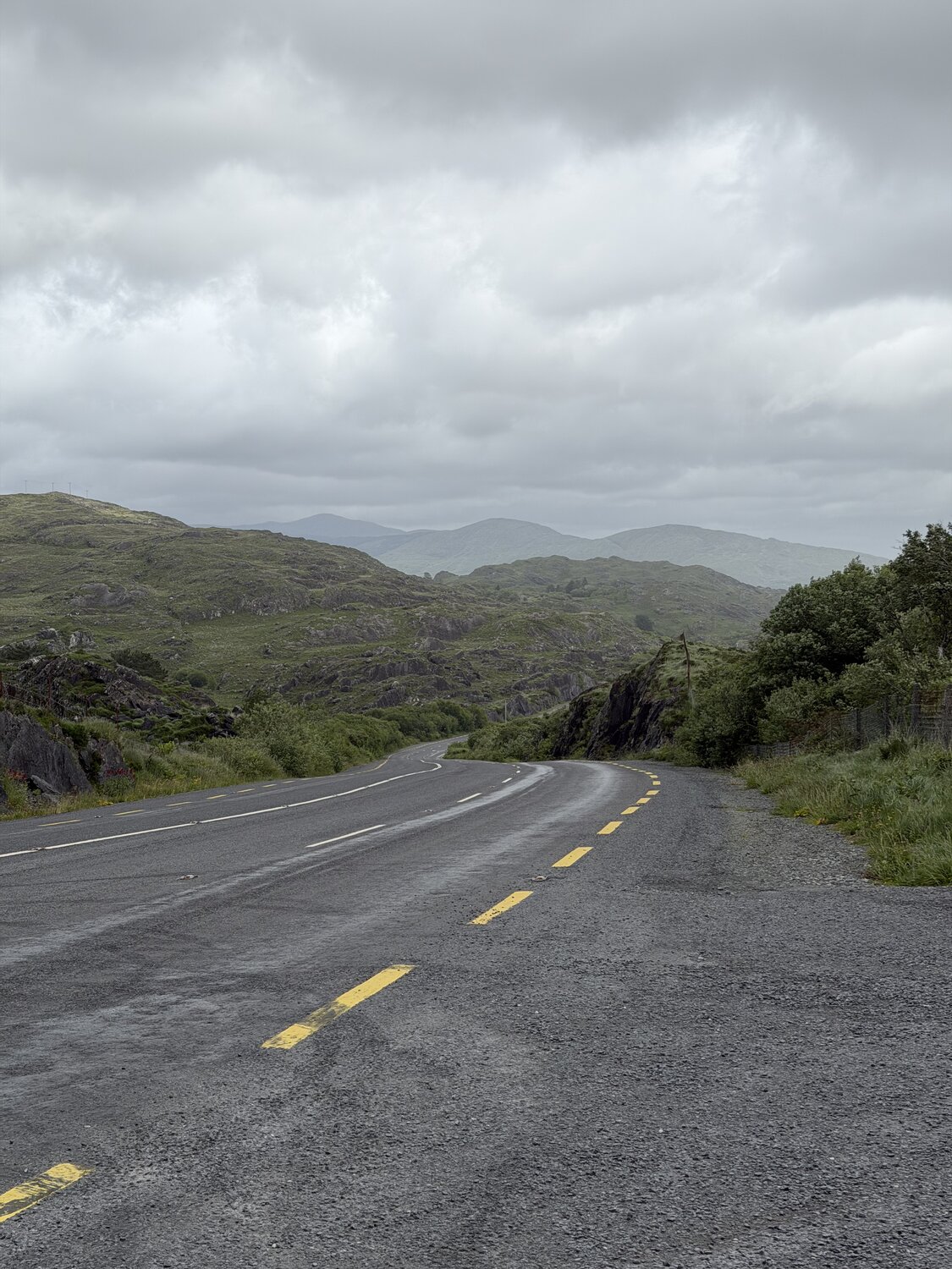
West of Glengarriff the road turns onto the Beara and the country gets wild fast: bare rock, bog and mountain, with the Caha and Miskish ranges close by and the sea coming and going on your left. It is exposed and rolling, with long stretches between shops and cafés, and it can blow hard off the Atlantic. Keep something in your bottles and legs, and settle in for the best scenery of the day.

Open in Maps →
Food · Castletownbere

Lynch's on the Pier

~55 km · The Pier, Castletownbere

Where we stopped for lunch, right on the harbour in Castletownbere, Ireland's biggest whitefish port. Lynch's is a friendly, family-run spot on the pier with big harbour views and honest cooking, known locally for its seafood chowder and fresh fish landed a few metres away. A well-timed feed at roughly the halfway point, with plenty of the peninsula still to come.

Open in Maps →
Hint · The line to Eyeries

The direct road north

~55–85 km · Castletownbere to Eyeries

From Castletownbere there are two ways to Eyeries: the long outer loop past Allihies and Dursey Island, or a more direct road that cuts north over the middle of the peninsula. We took the shorter line, and it still climbs and drops through the same rugged, empty Beara country. Either way rewards you, so pick the one that suits your legs and the wind on the day.

Open in Maps →
Hint · Eyeries

Ireland's most colourful village

~85 km · Eyeries

Eyeries sits on the north coast of the Beara above Coulagh Bay, and it is a stunner: a tight row of houses painted in every shade of pink, blue, ochre and green, kept in pristine order and a repeat winner of Ireland's Tidy Towns. It is a favourite of photographers and film crews, with the bay and the Kerry mountains as a backdrop. A lovely place to roll into at the end of a long day and just wander.

Open in Maps →
Refresh · Eyeries

Causkey's Bar

~85 km · Main Street, Eyeries

The highlight of the day. Causkey's is a small, warm pub on Eyeries' main street with a beer garden and sun-deck that look straight out over Coulagh Bay to Scarriff Island and the Kerry mountains, arguably one of the best pub views anywhere in Ireland. A fire and a hot whiskey when the weather turns, snacks all day, and live music at weekends. We had a drink, watched the light on the bay, and stayed longer than we meant to.

Open in Maps →

Where we stayed

Coulagh Bay House

Overnight · Eyeries

Coulagh Bay House

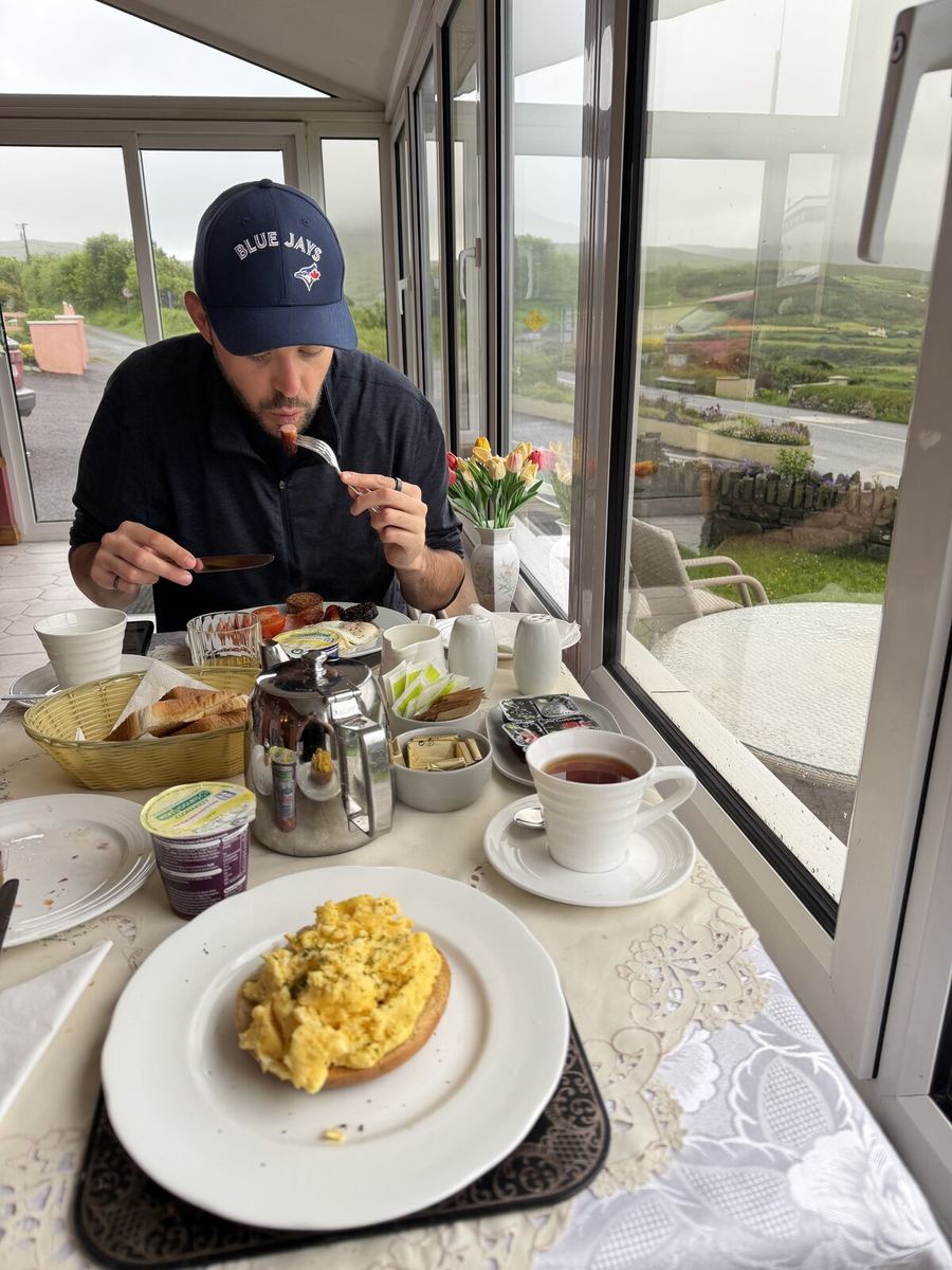
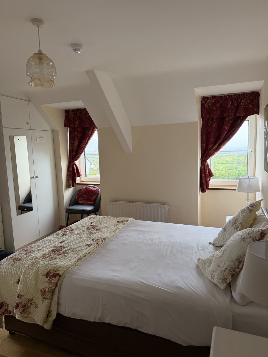
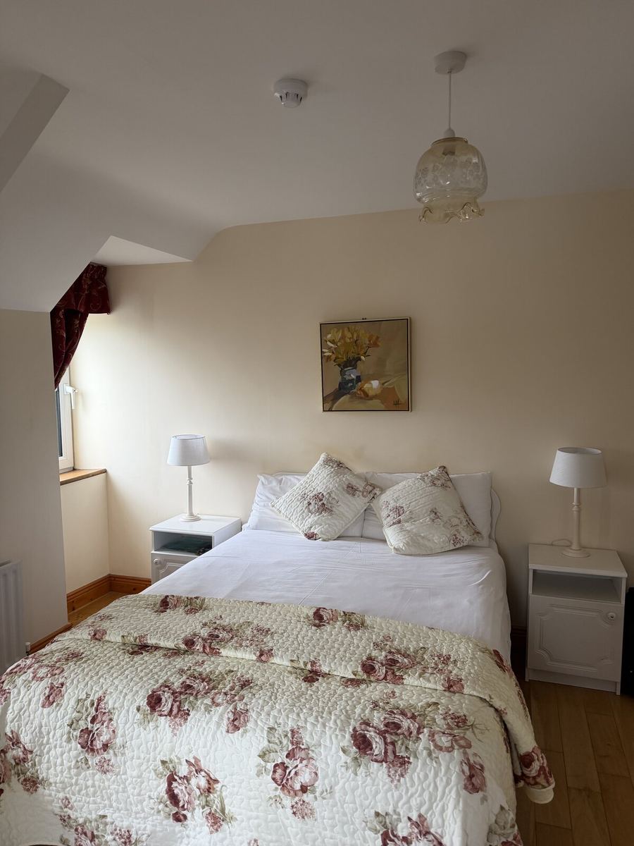
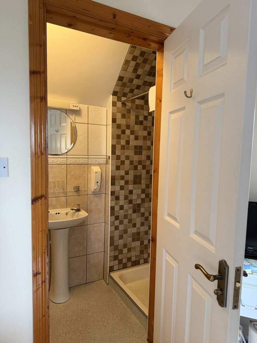
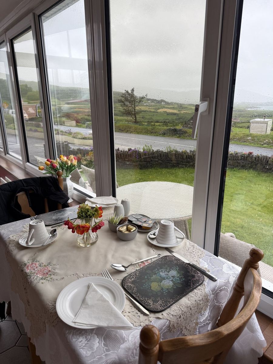
A warm, family-run guesthouse right in colourful Eyeries, run by host Therese O'Neill. The rooms are comfortable with private bathrooms and sea, mountain and village views, and there is a big front sun-lounge made for watching the sunset drop over Coulagh Bay after a long day. It is a natural base for the Beara Way walking and cycling routes, with Castletownbere just five miles down the road, and Therese is generous with local tips.

The rest of the trip