From the ride
A few frames from the day.
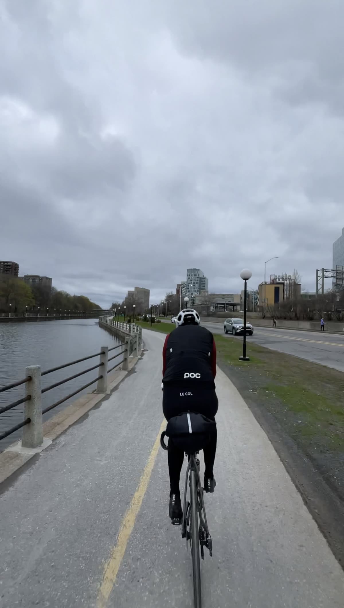
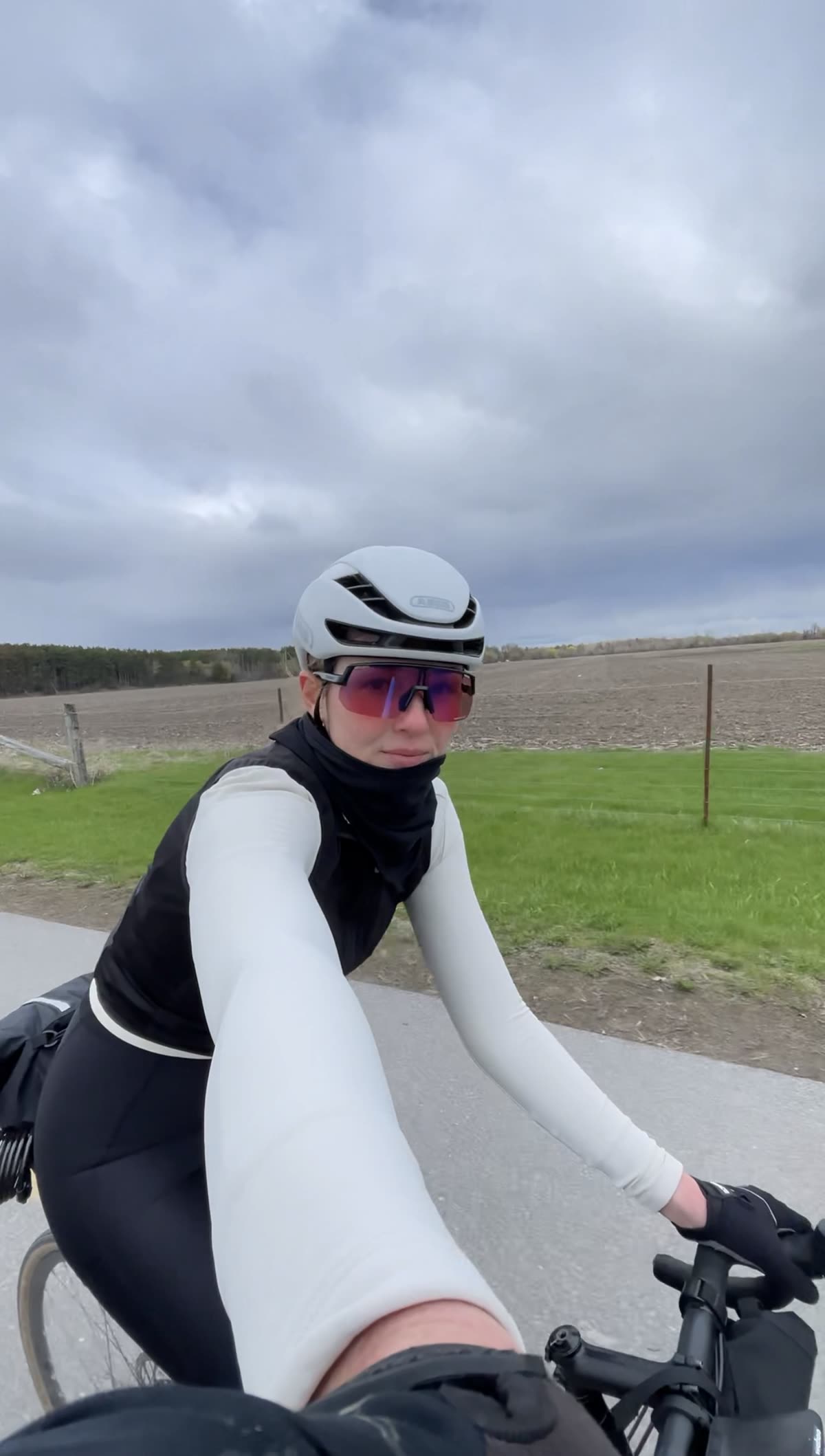
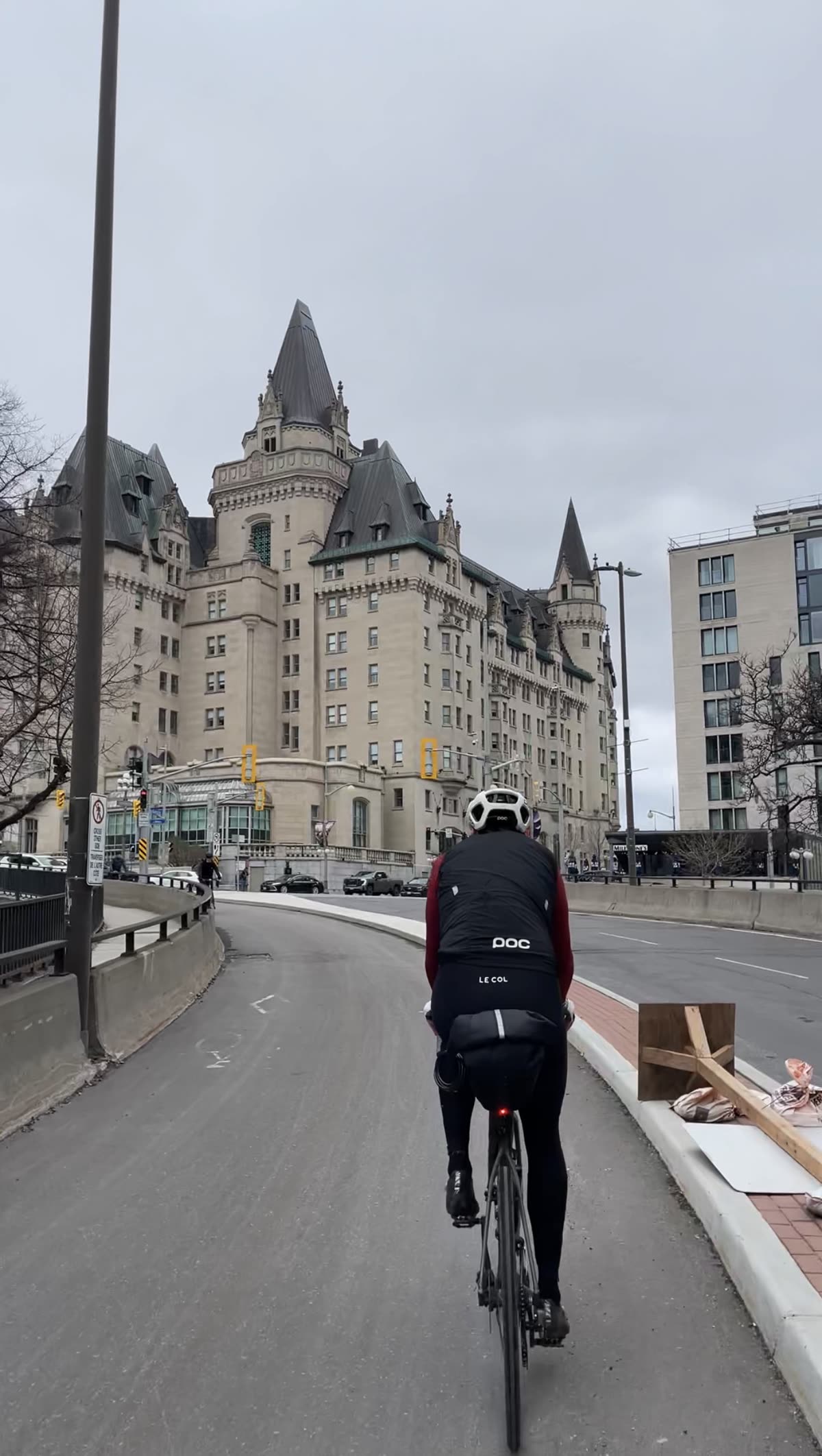
A city loop that stitches the capital together by water: up the Rideau River, along the canal into downtown past Parliament, and home on a mix of creek paths, quiet roads, and open farm fields.
Map, elevation, and the route file to take with you.
A 45 km loop that shows you Ottawa the way a local would: by its rivers and pathways, not its roads.
"What surprised us most? Open farm fields just minutes from the city centre."
Ottawa is one of the most rideable capital cities anywhere, laced with more than 200 km of mostly paved multi-use pathways that link its rivers, parks and downtown. This loop threads the best of them together. It starts out in Nepean, on the west bank of the Rideau River, and picks up the Rideau Canal pathway, a route that runs beside a UNESCO World Heritage Site the whole way into the core. In winter that same canal freezes into the Rideau Canal Skateway, the world's largest skating rink, and you can quite literally skate into the city. A few months later you ride it instead, which never stops feeling a little surreal.
The canal delivers you straight to the heart of downtown. Parliament Hill and its Gothic Revival towers are worth stopping for, and just behind them Sparks Street, a pedestrian-only promenade, is where the coffee is. From there the loop swings west along the Ottawa River pathway, with the water on one side and Gatineau's hills across it, before ducking inland onto the Pinecrest Creek pathway. That green corridor carries you back toward Woodroffe and old Nepean, where the route trades pathway for a stretch of quiet neighbourhood roads for the run home. It's here you get the ride's real surprise: open, working farm fields sitting just minutes from a national capital. It's gentle throughout, mostly flat with only a few rises, which makes the 45 km feel like a tour rather than a workout.
The reel. Open on Instagram →
Food, refreshments, parking, and local hints. Filter below.
We started out in Nepean, near the Chapman Mills Conservation Area on the Rideau River, because that's where we were based. You don't have to. The stretch of Prince of Wales here can be busy, so pick any point on the canal or river pathway that's easy for you to reach and ride the loop from there.
Open in Maps →The centrepiece of the ride: a dedicated, car-free path running beside the Rideau Canal, a UNESCO World Heritage Site, all the way into the core. Smooth, scenic, and flat. In winter this same water becomes the Skateway, so you're riding a route people skate to work on a few months earlier.
Open in Maps →Worth getting off the bike for. The canal drops you right below Parliament's Gothic Revival towers and the locks where the canal meets the Ottawa River. A quick stop, a few photos, then coffee is a block away.
Open in Maps →The aptly named coffee stop, on the pedestrian-only Sparks Street just steps from Parliament. A newer spot with European-cafe flair, serving espresso and batch brew. Open Mon–Fri 7–7, Sat–Sun 9–6 (worth a quick check before you count on it).
Open in Maps →Also on Sparks Street, and made for riders: vintage bikes on the walls, a patio, locally roasted coffee, and a crowd that gets why you're in Lycra. Run by the people behind Escape Bicycle Tours and Retro-Rides. Great vibe for a mid-loop cool-down. Open daily (Mon–Fri from 7, weekends from 10).
Open in Maps →Pro tip: check the Ottawa River water levels before you leave. We loved the sections we could ride, but there was much more water over the river pathway than we bargained for. In high water some stretches flood, so have a plan to reroute onto the parallel roads if needed.
Open in Maps →The Pinecrest Creek pathway is a quiet green corridor that ducks under the Queensway and leads back through Woodroffe. From there the last stretch home is on quiet neighbourhood roads, and it opens onto working farm fields that feel impossibly rural for being minutes from a capital city. The best-kept secret of the loop.
Open in Maps →A few frames from the day.