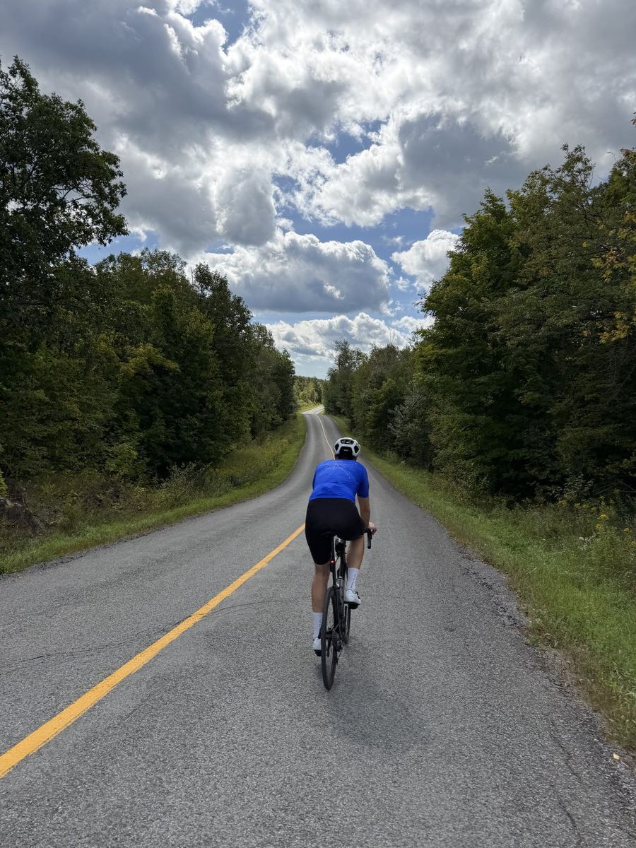
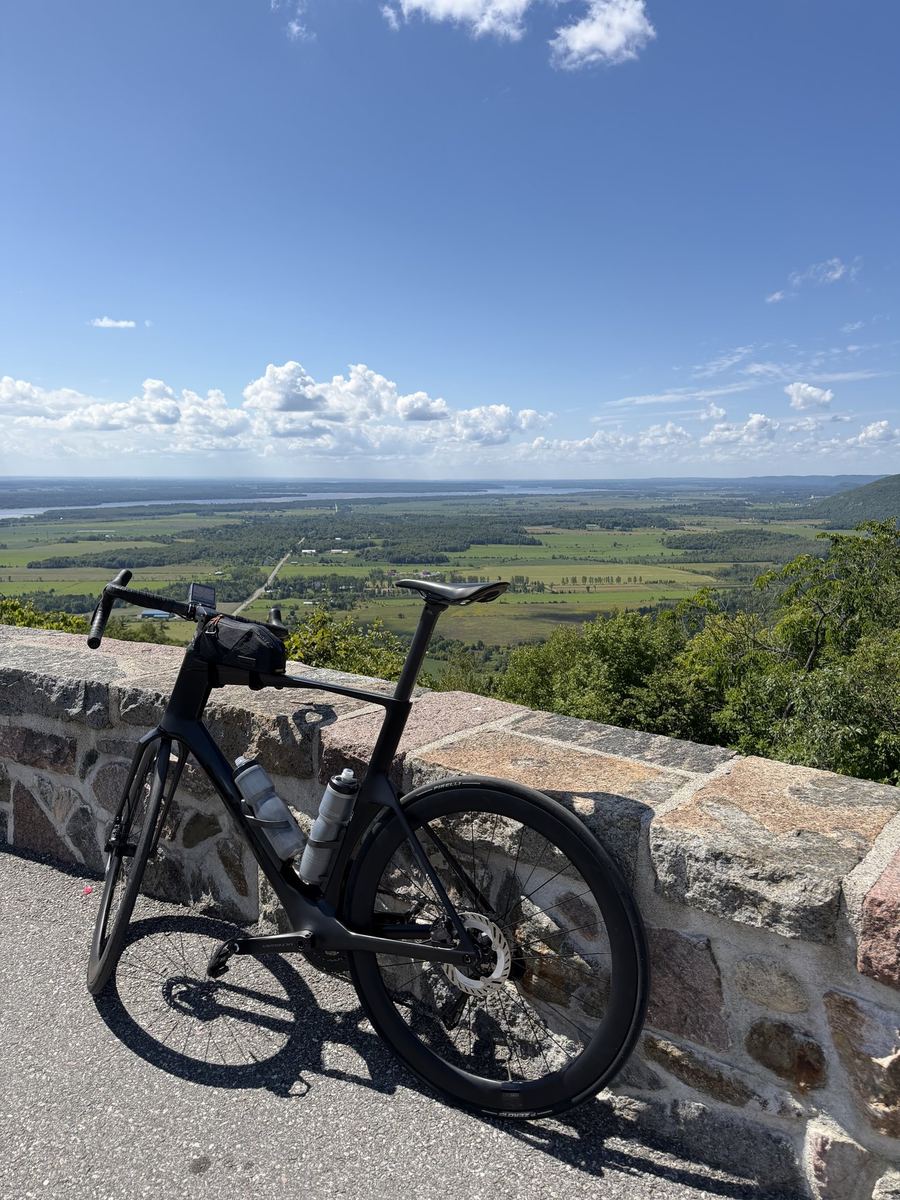
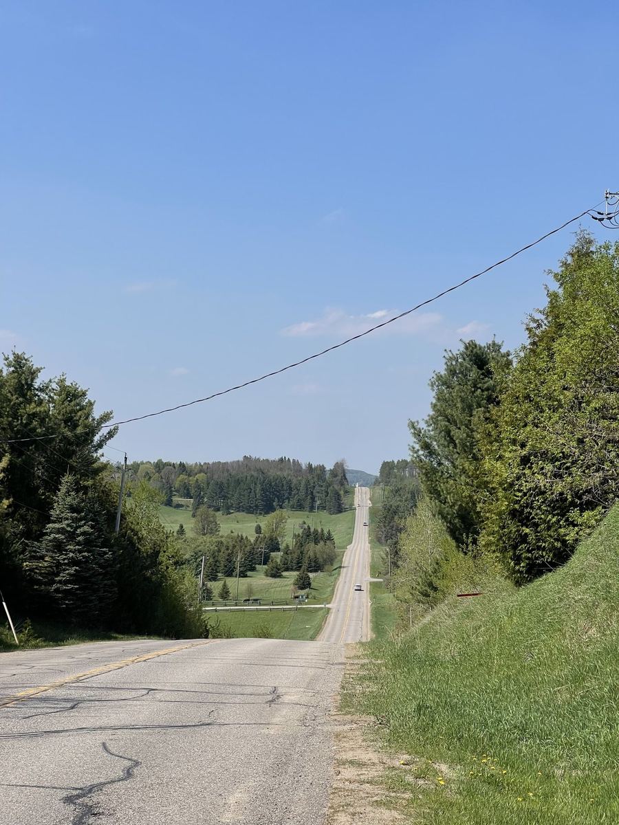
An 87 km loop from Sharbot Lake, south onto the back roads around Bobs Lake, east along Wolfe Lake to lunch in Westport, then a hard climb out of the village and rolling hills all the way home.
Distance
87 km
Elevation
1,100 m
Ride time
3.5–4.5 hr
Difficulty
Challenging
The route
About this ride
Count the lakes on this loop and you will lose track before you reach lunch. That is the whole reason we keep coming back.
Sharbot Lake is a small village in Central Frontenac, named for the Sharbot family who lived here and once a stop on the Kingston and Pembroke Railway, whose old line is now the K&P Trail. We parked just south of the village at Granite Ridge Education Centre on Road 38. The loop follows Road 38 south for about 12 km, then turns off onto Bradshaw Road, Bobs Lake Road and Buck Bay Road, a run of narrow back roads that wind through hills, lakes and cottage lanes.
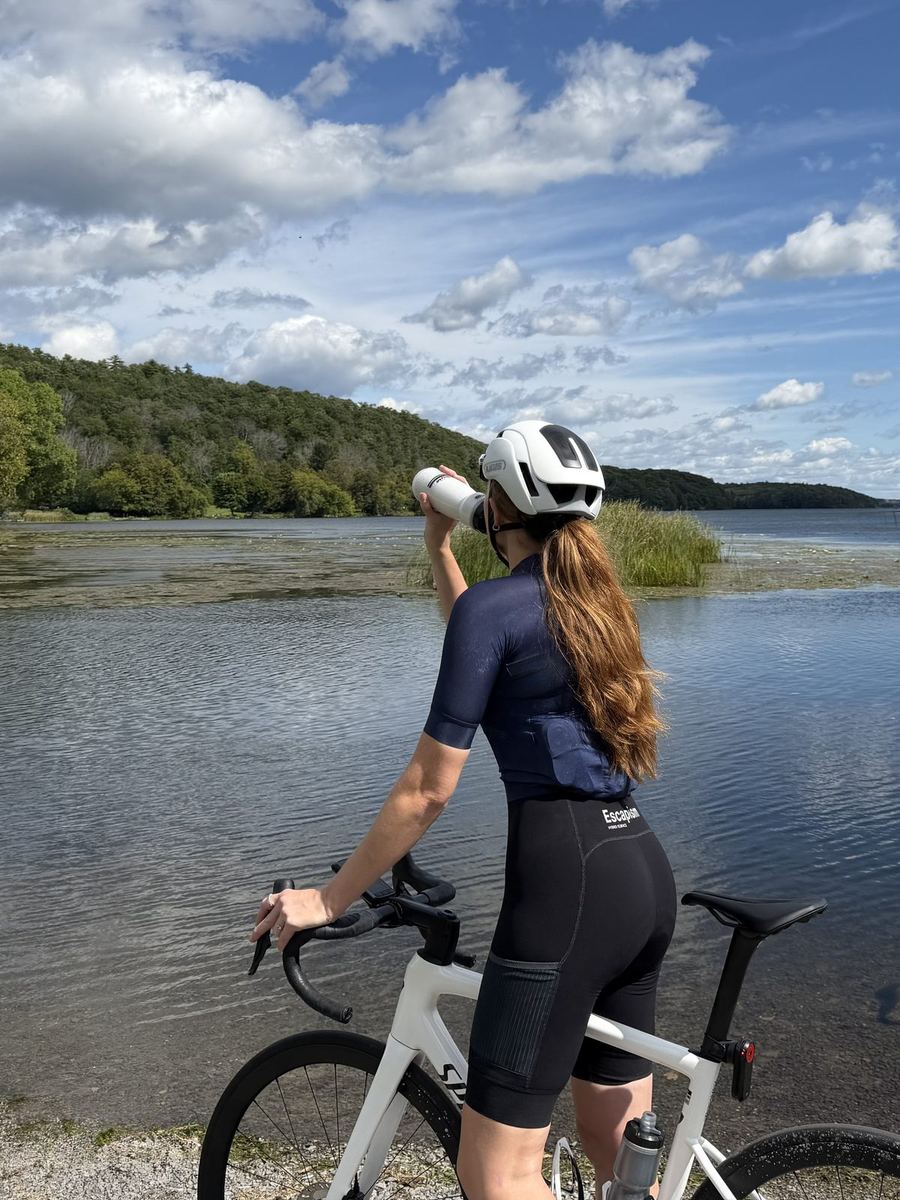
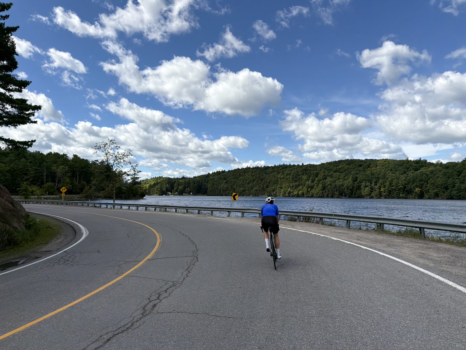
At about 26 km the route turns east onto Westport Road and heads for the Rideau. Around 40 km it runs along the shore of Wolfe Lake, a cottage lake a few kilometres west of Westport, and this is our favourite stretch of the day. Westport itself sits at the west end of Upper Rideau Lake on the Rideau Canal. It began as Manhard's Mills in the 1820s, took its current name in 1841, and is now a village of about 600 with a compact main street. Lunch is at Tangled Garden Cafe, just off the main street at 50 km.
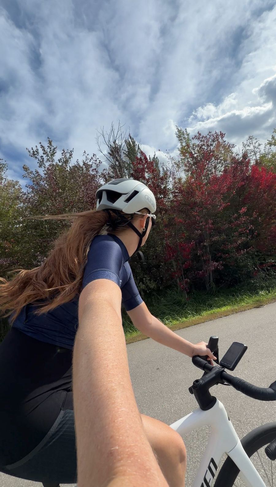
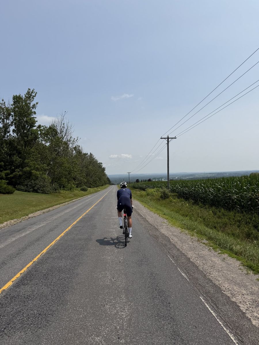
Mountain Road takes you out of Westport and is the steepest climb on the route, straight after lunch. From there Road 36 and Crow Lake Road carry you back west to Road 38 over constant rolling hills, with very little flat ground in the last 35 km. Ride it once the leaves start to change and you will see why fall is our favourite time to ride cottage country.
Along the way
6 of 6 showing
0 km · 14432 Road 38, Sharbot Lake
Where we left the car, on Road 38 just south of the village. It is a working school, so be mindful of where you park if you are starting on a school day.
Open in Maps →0 to 87 km · the full loop
Westport is the only real stop on the route. The rest is back roads, lakes and cottages with next to nothing in between, so leave Sharbot Lake with enough food and water to get you the 50 km to Westport, and refill there for the ride home.
Online · Ontario Parks
Ontario Parks publishes a fall colour report through the autumn, showing how far the leaves have turned at parks across the province. Worth a look before you plan the drive out.
Open the report →~38 to 45 km · Westport Road
Before you reach the water, you get your first look at Wolfe Lake from the top of a descent, a great tease of what is coming. Then Westport Road follows the shore for a stretch on the way into town, lake on one side and forest on the other. The best part of the ride for us.
~50 km · 7 Church St, Westport
Our lunch stop, a block off the main street. Breakfast and lunch menus with a patio out front. Worth checking their hours ahead if you are setting off late.
Open in Maps →~51 to 53 km · Mountain Road
The toughest climb of the day starts almost as soon as you leave the cafe. Keep lunch short so your legs have not gone cold, and settle into it. After the top, the road rolls up and down all the way back to Sharbot Lake.
From the ride


More rides