From the ride
A few frames from day one.
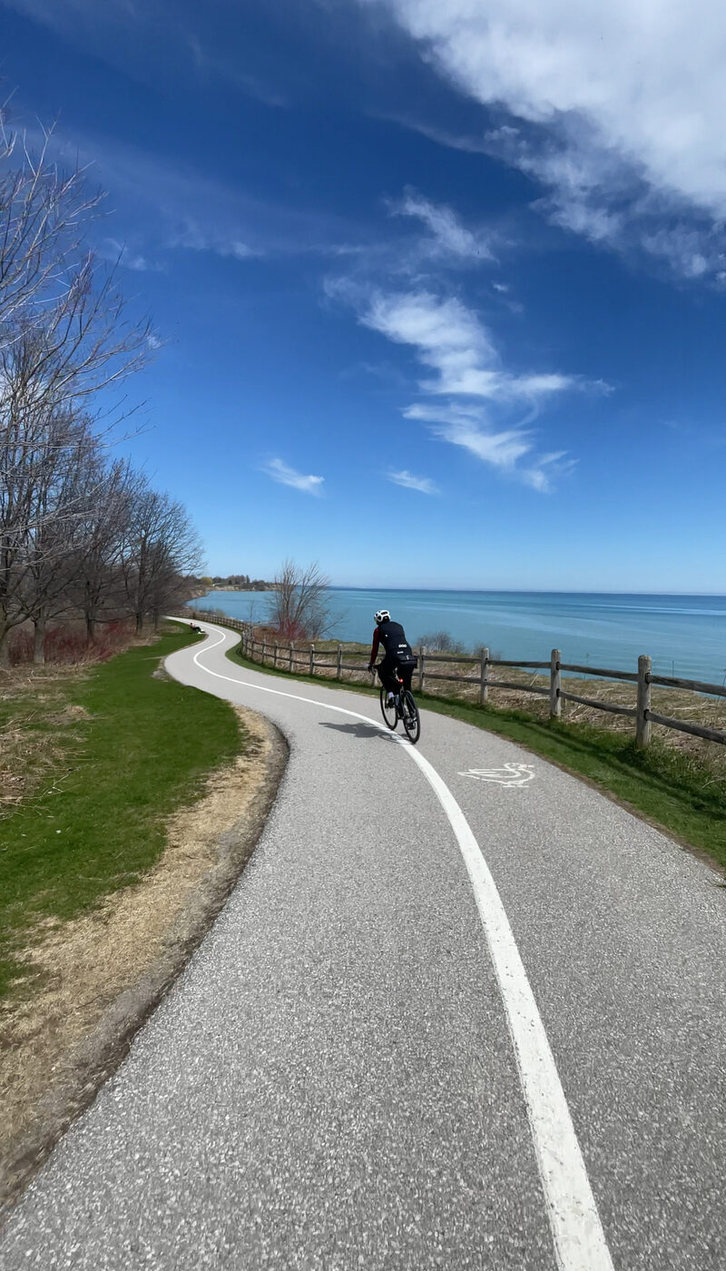
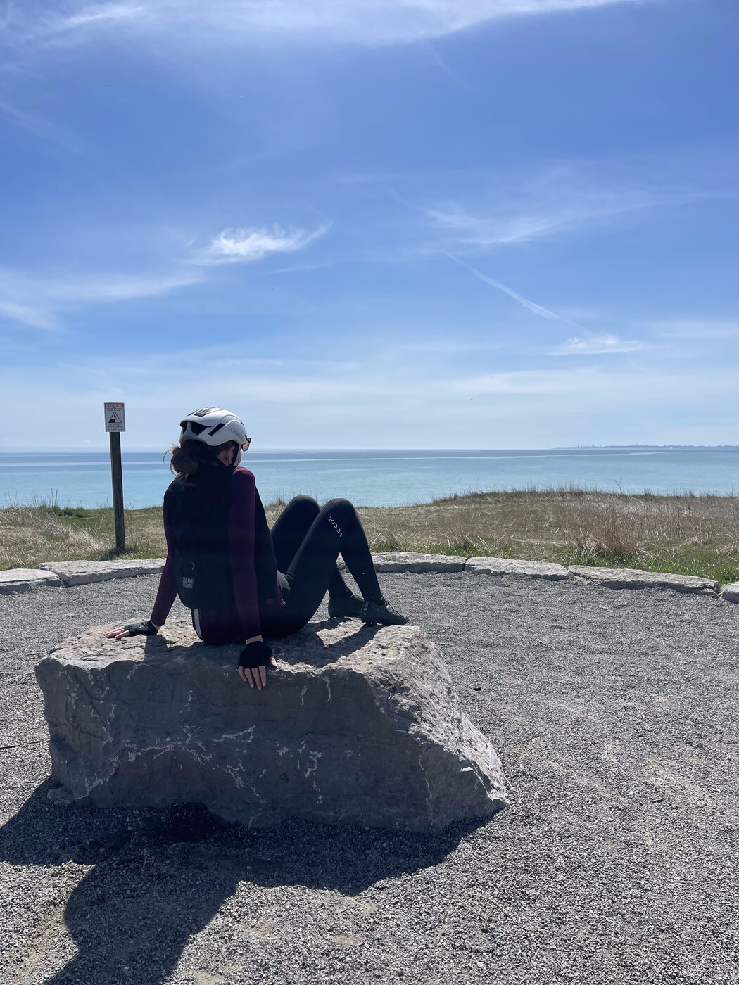
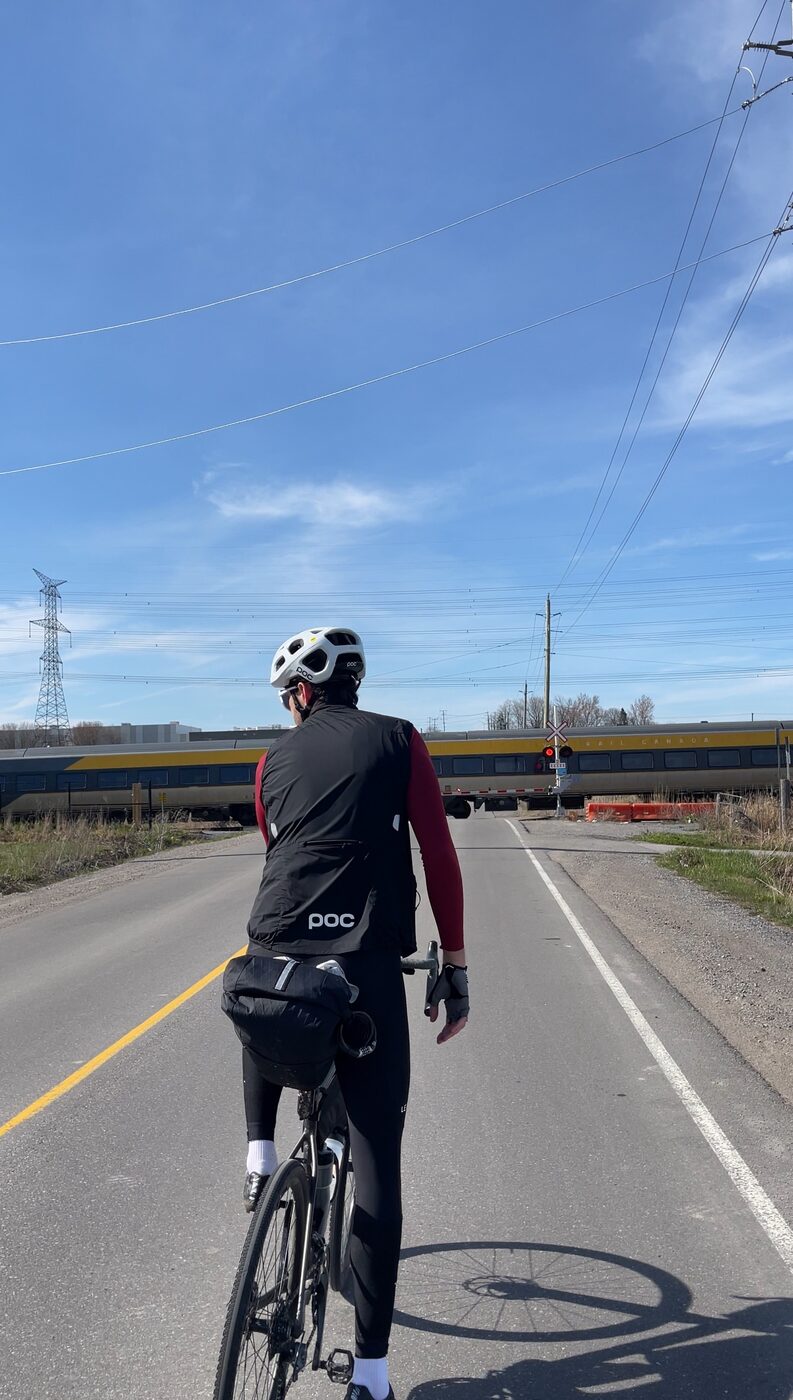
The first day of a four-day ride to the capital: 129 km east out of the city on the Lake Ontario Waterfront Trail, from the Distillery District to the heritage streets of Port Hope.
Map, elevation, and the route file to take with you.
Heads up: the Waterfront Trail at Rouge Beach is closed for restoration (through 2027), so the route detours up and around the Rouge River. When it reopens you can stay on the trail. The route file already includes the detour.
A long day beside Lake Ontario, from the city to one of the province's prettiest main streets.
"Beautiful lake views, quiet back roads, and of course, great coffee. We packed everything we needed for four days of riding and set off from Toronto heading east."
Day one traces the north shore of Lake Ontario along the Waterfront Trail, the paved-and-quiet-road spine that eventually runs some 3,600 km around the Great Lakes as the Great Lakes Waterfront Trail. You leave downtown Toronto from the Distillery District, pick up the Martin Goodman Trail through the Port Lands, and then simply follow the water east as the skyline slowly falls away behind you. It is a point-to-point rather than a loop, so every kilometre is progress toward the capital: a full day in the saddle that sticks to the lakeside path where it can and links up quiet roads and rolling stretches between the towns.
The joy of the day is the string of lakeside communities it threads together. Pickering's Nautical Village, a cluster of independent shops and cafes down at the water on Liverpool Road, is the natural first stop and a genuinely charming one. From there the trail hops through Ajax, Whitby, Oshawa, Bowmanville and Newcastle, and the further east you go the quieter it gets, with the back roads emptying out and the dedicated bike paths opening up along the shoreline. Those calm, car-free stretches beside the lake were the reason we planned the trip in the first place.
The reward at the end is Port Hope. Set where the Ganaraska River meets the lake, it holds what is widely called the best-preserved heritage main street in Ontario: more than 270 designated heritage buildings, a walkable stretch of 19th-century storefronts along Walton Street, the restored 1930 Capitol Theatre, and independent bakeries and cafes to sink into after a long day in the saddle. Rolling in tired and finding a town this handsome waiting for you is exactly the kind of arrival that makes a point-to-point worth the distance.
The reel from day one. Open on Instagram →
Food, refreshments, parking, and local hints. Filter below.
We set off from the east side of downtown, near the Distillery District and Cherry Street, where it's an easy roll onto the Martin Goodman Trail and out along the water.
Open in Maps →The whole day hangs off the Waterfront Trail: paved multi-use path where it can be, quiet lakeshore roads where it can't. It's well signed, but a long point-to-point still rewards having the route on your device. GO Transit's Lakeshore East line shadows much of the way if you ever need to bail out to a train.
Trail info →The Waterfront Trail at Rouge Beach is closed for wetland restoration through 2027, so the route turns off and detours up and around the Rouge River before rejoining the shoreline. Follow the posted signs. When it reopens you'll be able to stay on the trail through the park.
Open in Maps →Our first proper stop, and a lovely one. OpenStudio is an independent art café and espresso bar on Liverpool Road, down by the water in Pickering's Nautical Village. We loved this cute little stretch, and it's just one of a whole run of independent spots along the village, so take your pick. Hours run mid-morning to early evening and it's closed Mondays, so check before you count on it.
Open in Maps →Past Whitby and Oshawa the towns space out, the traffic thins, and long car-free sections of path open up along the lake through Bowmanville and Newcastle. This is the riding we came for: peace and quiet with the water on one side. Soft-pedal it and enjoy the middle of the day.
Open in Maps →Options thin out between Oshawa and Port Hope, so this is the one to keep in your back pocket. It sits slightly off the trail, but a short detour gets you to the marina, where The Brig serves waterfront dining and there's a licensed snack bar too. If you need to refill bottles or get something in the legs before the last 30 km, this is the reliable stop. Worth checking seasonal hours before you rely on it.
Open in Maps →The night's base in Port Hope, and how to book it yourself.
A quiet, comfortable base a short roll from Port Hope's heritage downtown, with room to bring the bikes in and everything we needed to rest up and get ready to do it all again on day two. An easy place to land after a long day on the trail.
A few frames from day one.