From the ride
A few frames from day four.
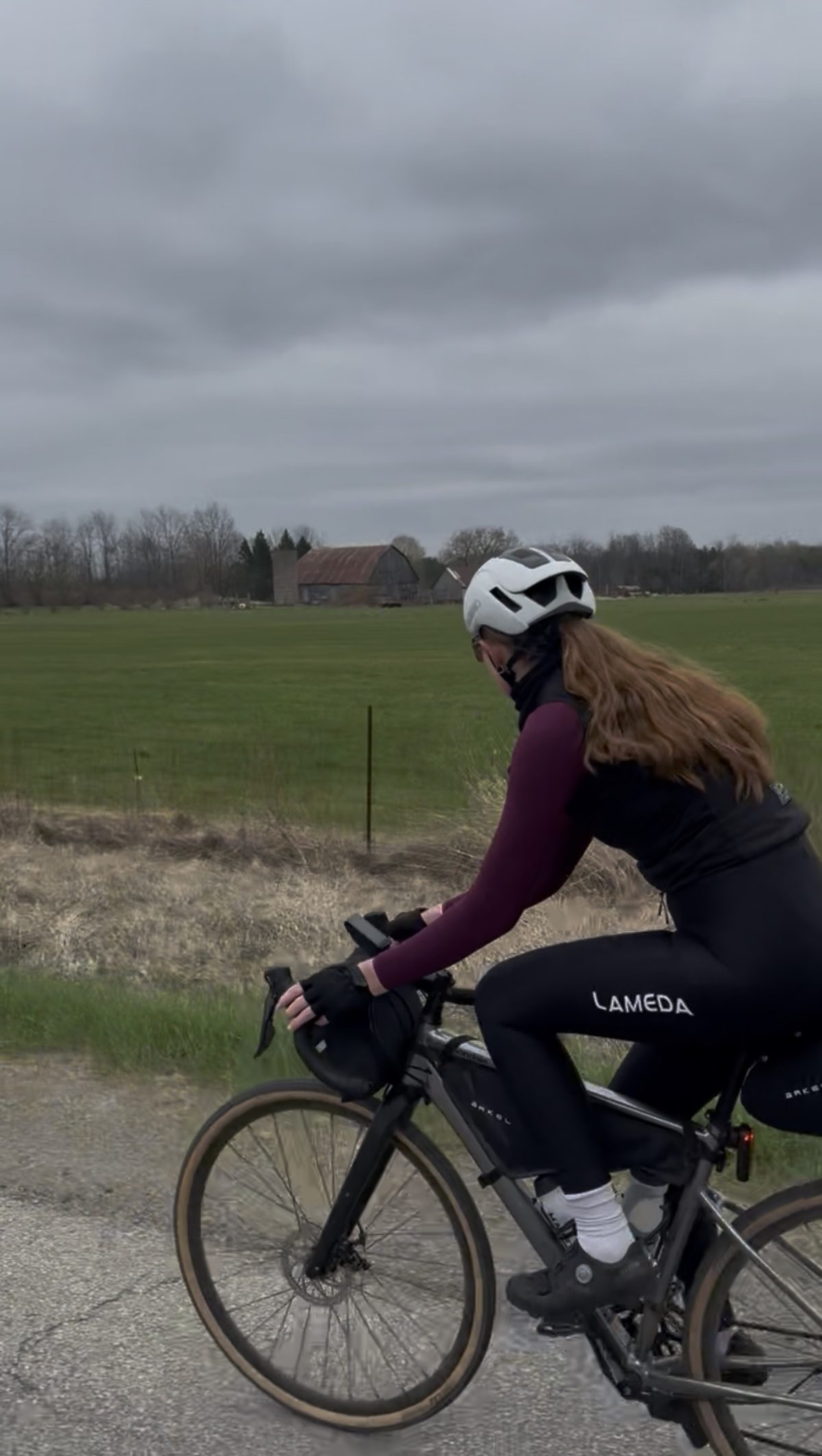
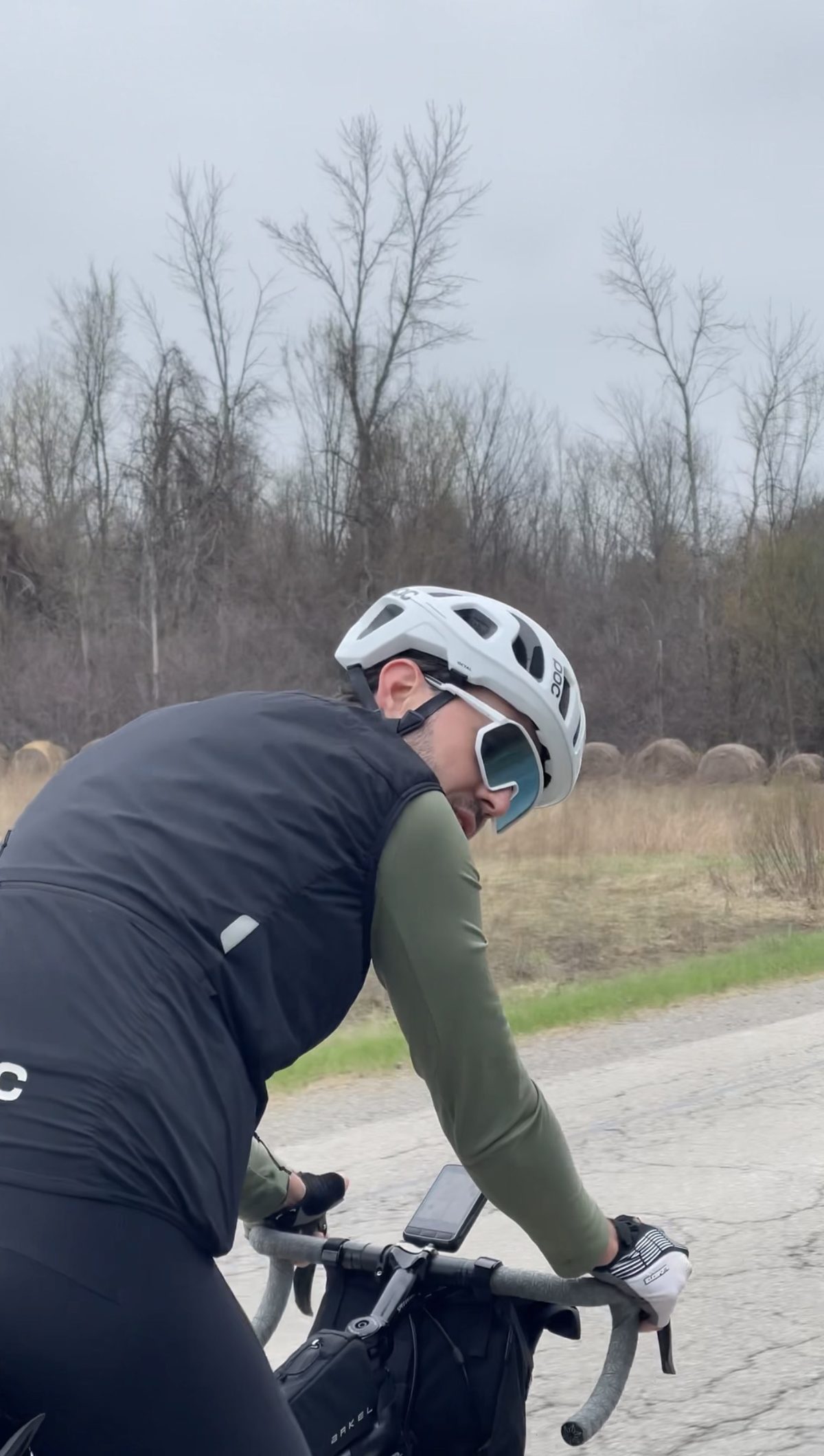
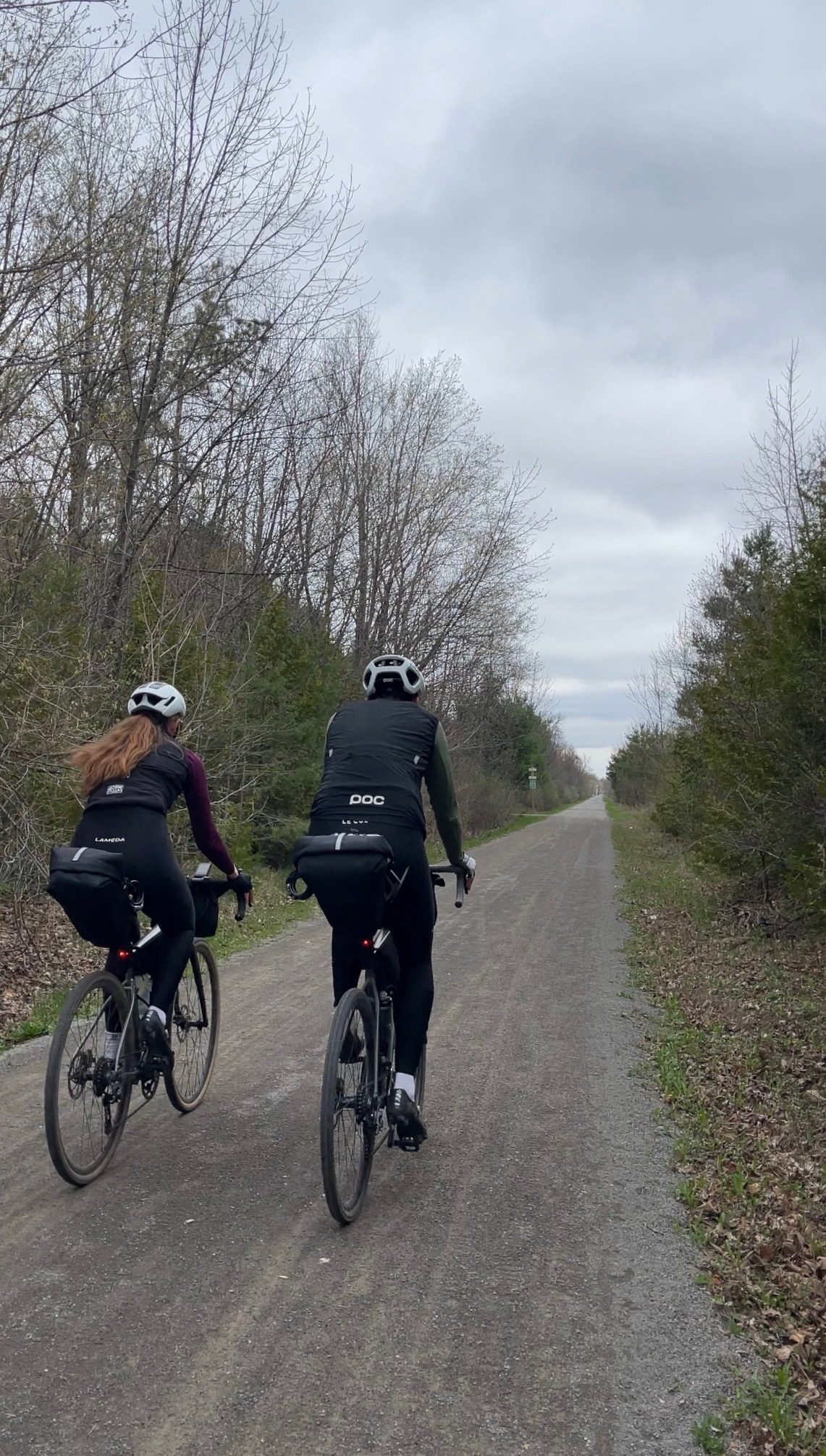
The final day: 118 km from Brockville into downtown Ottawa, opening on unexpectedly quiet roads and the trip's first true gravel, and finishing on a car-free rail-trail into the heart of the capital.
Map, elevation, and the route file to take with you.
The gentlest day of the trip on paper: just 325 m of climbing across 118 km, most of it quiet country road and rail-trail pathway. It is not dead flat, but there is nothing steep. Expect one stretch of true gravel after Brockville, then a long traffic-free run on the pathway that carries you the last stretch into the city. This route runs all the way to downtown Ottawa; we peeled off at Nepean around 107 km to stay the night, so trim the finish there if that suits you better.
Out of Brockville, through the quiet farm country of Leeds & Grenville, into Kemptville, and along a rail-trail into the capital.
"The last day of four, and it turns out the province saved some of its quietest roads for the finish."
Day four is the victory lap, and it starts gently. You roll out of Brockville, the City of the Thousand Islands on the St Lawrence and one of the oldest towns in Ontario, and within a few kilometres the roads go quieter than you would ever expect this close to a highway corridor. Leeds & Grenville is deep farm country, and the lanes north of Brockville deliver you almost immediately into open fields and empty pavement. Then comes a small surprise: the trip's first true gravel road, a stretch of hardpack after three days of tarmac. It is nothing technical, just a welcome change of texture and a reminder that the best days often hand you something you did not plan for.
The middle of the day belongs to Kemptville, roughly the halfway mark and the one town worth slowing down for. It grew up as a mill village on Kemptville Creek in the 1820s, took its name from Sir James Kempt, and matured into the main service centre of North Grenville. The old core around Clothier and Prescott Streets is walkable and easy on the eye, with heritage storefronts, churches and bridges over the creek. The town sits just south of the Rideau River, on the historic Rideau Canal corridor, and is wrapped in green: the 800-acre Ferguson Forest Centre, Eastern Ontario's largest tree nursery, sits right on the edge of town. It is a natural, well-earned lunch stop before the last push north.
Leaving Kemptville you are back on open roads for a while, and then the day changes character one final time. The route picks up the Osgoode-Leitrim pathway, a rail-trail laid on an abandoned railway corridor that runs about 20 km of compacted stone dust, car-free, through a calm patchwork of forest and farmland straight toward the city. It carries you almost all the way in, and it is the perfect way to arrive: no traffic, no fuss, just the quiet click of tyres on hardpack as Ottawa draws closer. From there the route threads on through the southwest neighbourhoods and finishes downtown, on the doorstep of Parliament and the Rideau Canal, four days and roughly 500 km after leaving Toronto. On the day we peeled off a little early at Nepean, around the 107 km mark, to stay the night, but the published route carries right on to the city centre. A long way from the Toronto lakefront where it all began.
The reel from day four. Open on Instagram →
Food, refreshments, and local hints. Filter below.
Where we started the final day. A specialty coffee shop on King Street West in downtown Brockville, all good espresso and sustainability. The cakes were delicious, so don't skip the counter. A proper send-off before the roads go quiet.
Open in Maps →Shortly after leaving Brockville the roads go far quieter than you'd expect, and then you hit the trip's first true gravel road. After three days of pavement it felt like a little bonus we didn't know we needed. Nothing technical, just a nice change of texture through open farm country.
Open in Maps →The halfway stop, and a highlight. A European-style artisan bakery on Prescott Street in old-town Kemptville, with absolutely phenomenal sandwiches on bread baked in house daily, plus soups, scones and their famous bacon butter tarts. You have to check it out. Note: open Wednesday to Saturday only, so check the day before you count on it.
Open in Maps →Leaving Kemptville you're back on open roads, rolling north through North Grenville farmland toward the edge of the city. Straightforward riding, easy to settle into, with the last of the day's road miles before the pathway takes over.
Open in Maps →The best way to arrive. A rail-trail on an old railway corridor, about 20 km of car-free compacted stone dust running through forest and farmland almost all the way into Ottawa. Flat, quiet, and traffic-free, it takes the stress out of riding into a city. A perfect final stretch.
Open in Maps →Off the pathway, the route threads through the southwest side and finishes downtown near Parliament and the Rideau Canal. Four days and roughly 500 km after leaving Toronto, you've ridden across the province to the capital. On the day we stopped a little early at Nepean (~107 km) to stay the night, so trim it there if you prefer. Either way, the trip is done.
Open in Maps →A few frames from day four.