Home / Ontario & Quebec Rides / Toronto Ravines Loop
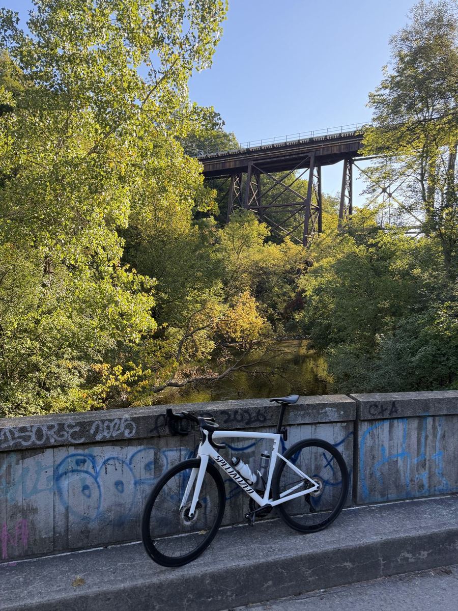
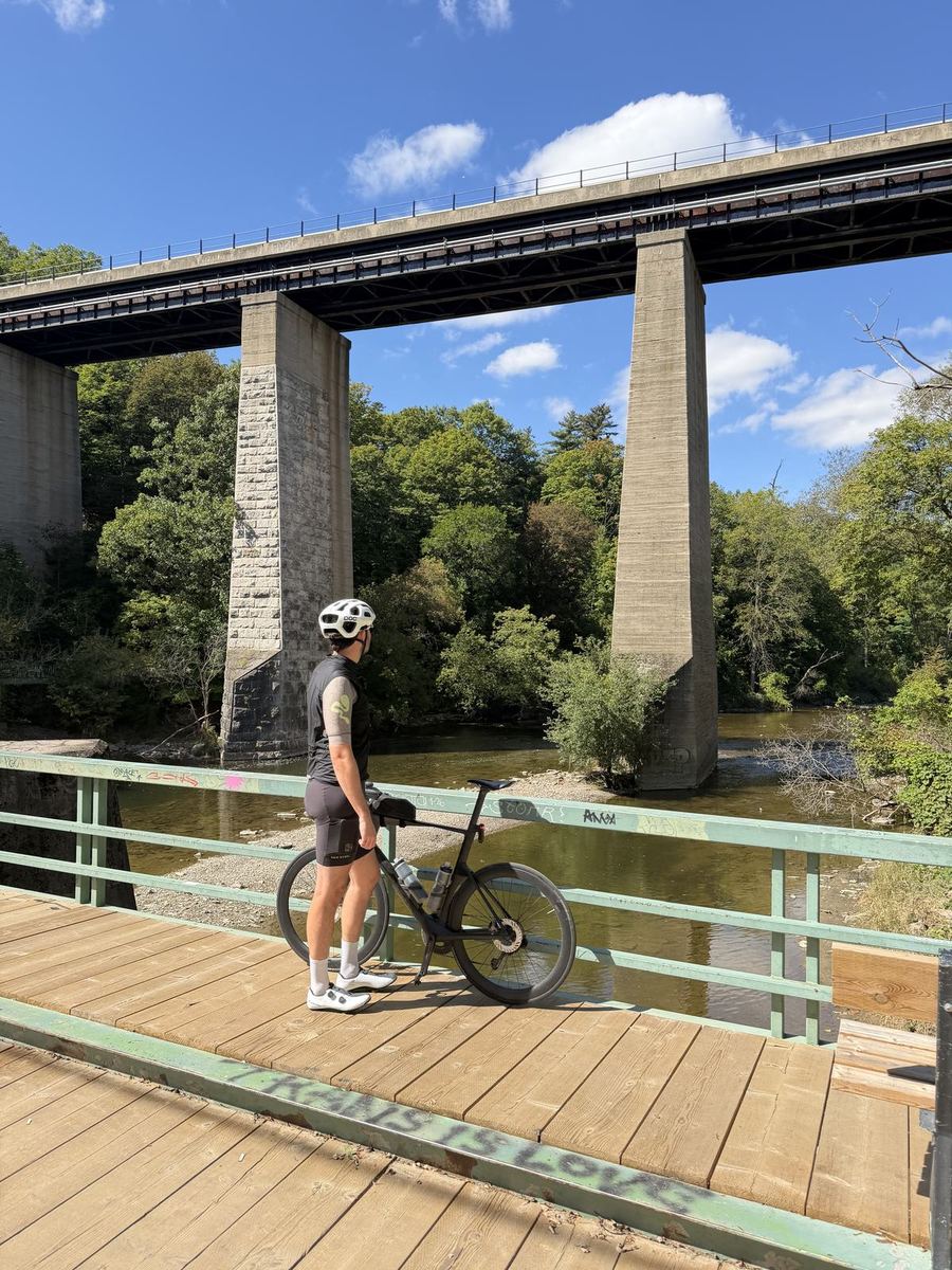
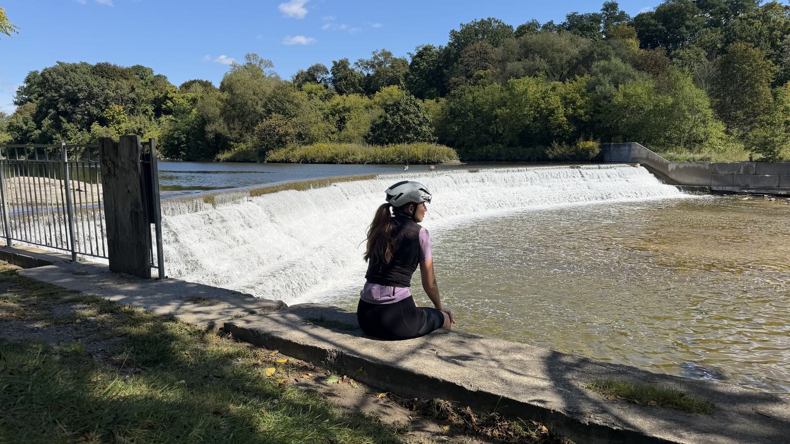
Bailey sitting on the bank beside a weir on the Humber River

Toronto Ravines Loop

A 75 km loop across Toronto, mostly on its ravine trails. Up the Don Valley from the Distillery District, across the top of the city on the Finch Hydro Corridor, then down the Humber to the lake and home along the Waterfront Trail.

Distance

75 km

Elevation

566 m

Ride time

3–4 hr

Difficulty

Moderate

The route

Map, elevation, and the file to take with you

⤓ Download the GPX file

About this ride

Two river valleys and a hydro corridor between them

Seventy-five kilometres across the city, and most of it spent somewhere you would never guess was the middle of Toronto.

Toronto's ravines cover about 17 percent of the city, and the network is often described as the largest ravine system of any city in the world. Most of it stayed green because of Hurricane Hazel in 1954, after which the city stopped building on the valley floors. That is why you can cross most of Toronto on paths, and this loop strings the two biggest valleys, the Don and the Humber, into one ride.

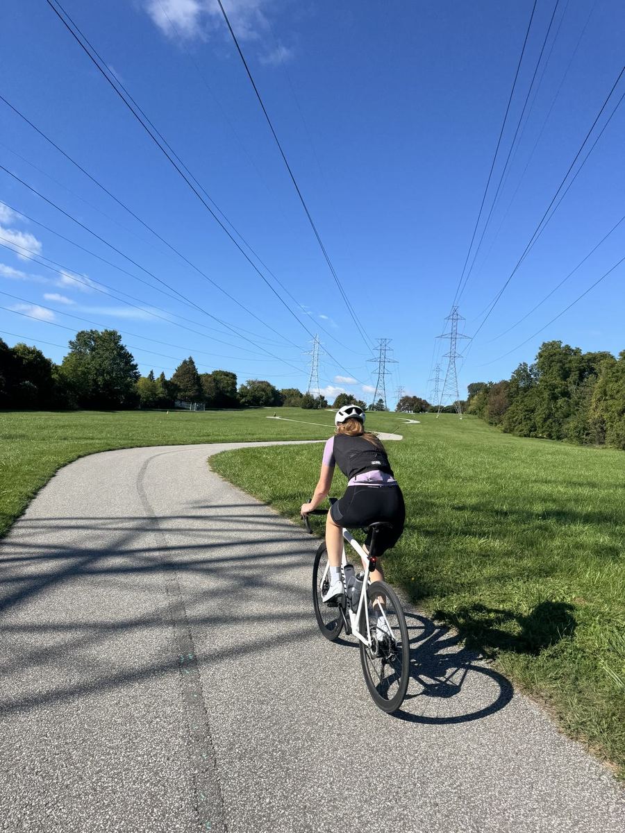
It starts at the Distillery District on the Lower Don Trail, where the stretch from Corktown Common to E.T. Seton Park reopened in August 2026 after three years of construction. From there it follows the Don north, climbs out onto the Don Mills Trail and the East Don Parkland, and then runs west across the top of the city on the Finch Hydro Corridor, a paved path under the transmission towers parallel to Finch Avenue. Haven Brews, about 32 km in, is the coffee stop. The route then drops into the Humber valley off Weston Road and follows the river all the way down to the lake at Humber Bay, finishing east along the Waterfront Trail.

Because it is a loop, you can start wherever on the route is closest to you. Both valleys are shared with walkers, and the trails have plenty of twists and turns, so it is a ride to take at an easy pace, and weekends get busier. When we rode it there was more sand and gravel on the paths than we expected after recent flooding and construction in the ravines, so a gravel bike or slightly wider tyres would not go amiss. There are lots of spots along the way to stop, so packing some food is worth it.
Along the way

Stops and tips

6 of 6 showing

Hint · Start

The Lower Don Trail at the Distillery District

0 km · Distillery District, Toronto

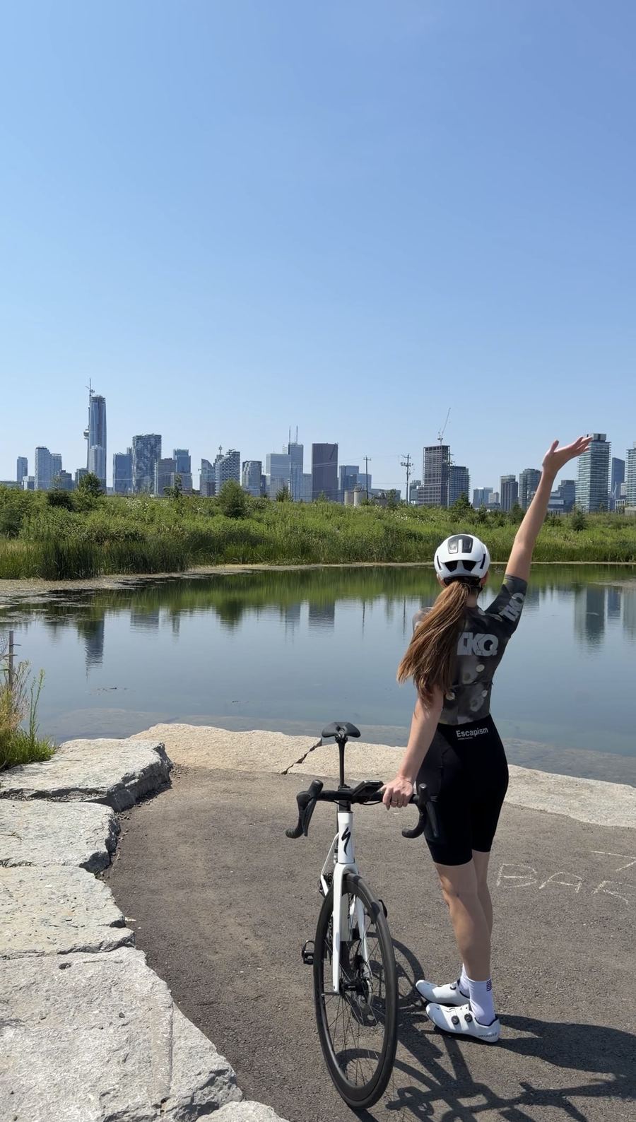
We started at the bottom of the Lower Don Trail by the Distillery District and headed straight up the newly reopened section of the valley. As it is a loop, you can just as easily join from the Humber, the Finch corridor or the Waterfront Trail if one of those is closer to home.

Hint · Out of the valley

Up to the Don Mills Trail

~12 to 14 km · near Leslie Street

This is where the path climbs out of the Don valley. When we rode it, the road ahead looked closed, but a narrow path carried on beside it. If you would rather stay low, you can follow the Wilket Creek Trail through Edwards Gardens and the Toronto Botanical Garden instead, and join the Don Mills Trail off Leslie.

Hint · The 401

The Don Mills detour

~19 km · Don Mills Road at the 401

The Betty Sutherland Trail under the 401 was closed when we rode it, so the route takes a short detour over Don Mills Road before joining the East Don Parkland Trail. If the trail has reopened by the time you ride, take it instead.

Food · Coffee

Haven Brews

~32 km · 222 Finch Ave W, North York

An independent cafe just off the Finch Hydro Corridor, set up as a community spot as much as a coffee shop. Espresso and hand-drip, matcha and pastries, and a patio. Worth checking their hours before you set off.

Open in Maps →
Hint · Into the Humber

The stairs off Weston Road

~52 km · Humber River Recreational Trail

Shortly after the route drops onto the Humber trail there is a set of stairs, and you will need to walk the bike down. If you would rather skip them, carry on a little further down Weston Road and use the next entrance onto the trail instead.

Hint · The way home

Back along the Waterfront Trail

~63 to 75 km · Humber Bay to the Distillery

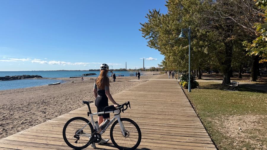
The Humber drops you at the lake and the last stretch runs east along the waterfront back into the city. If the trail is closed through the Exhibition and Ontario Place stretch, Lake Shore Boulevard to Stadium Road gets you around it.

More rides

From Ontario and Quebec

See all 22 rides →