From the ride
A few frames from the climb and the descent.
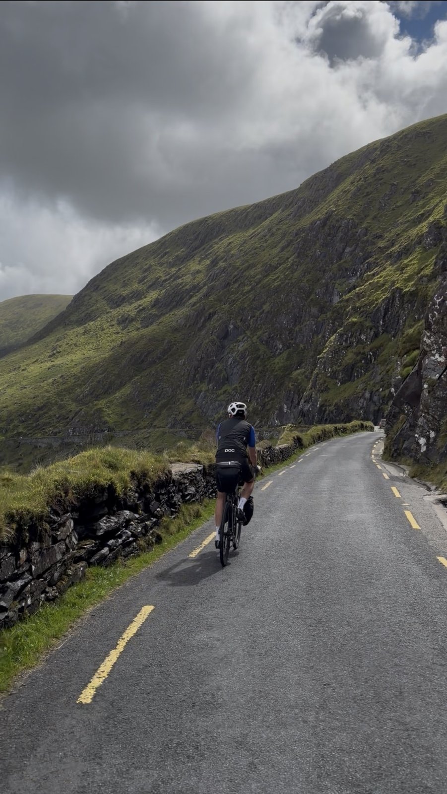
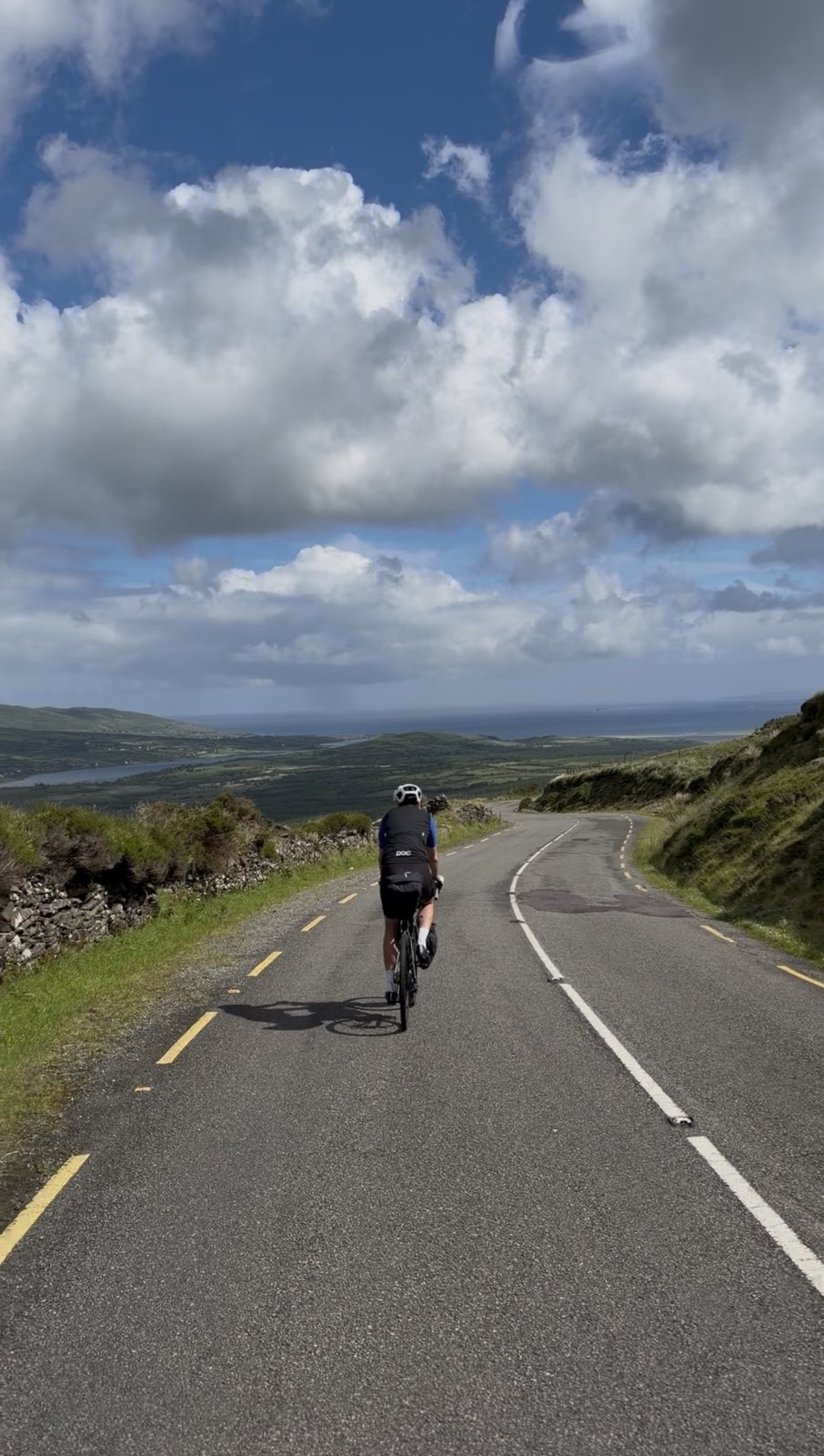
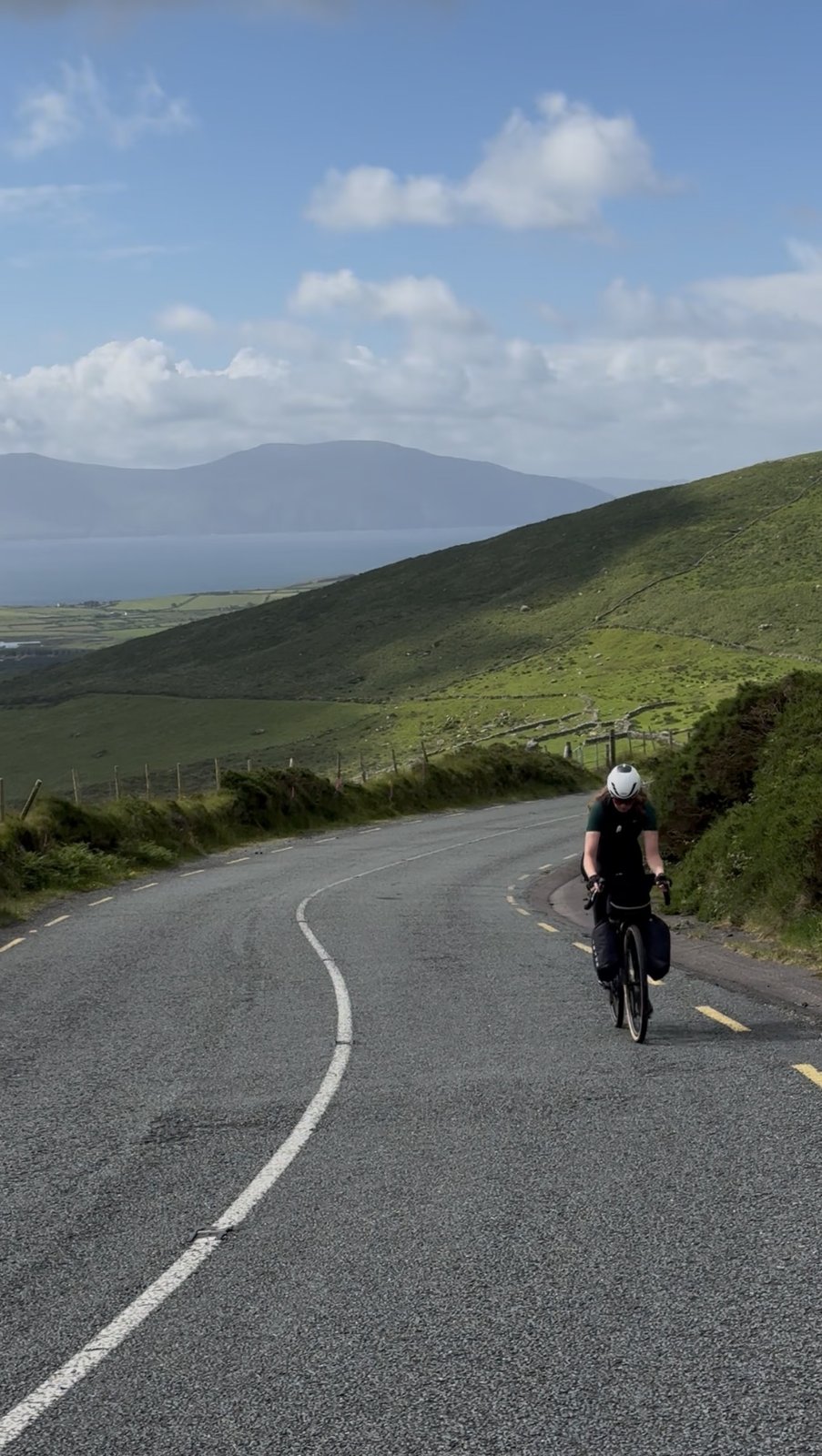
The ride home, and one last climb worth staying an extra day for: 47 km from Dingle over the Conor Pass, one of Ireland's highest paved roads, and down to the train at Tralee.
Map, elevation, and the route file to take with you.
The climb starts almost the moment you leave Dingle: the Conor Pass road ramps straight up to the summit at around 7 km, then drops down the far side toward Brandon Bay on a narrow, cliff-cut descent. From there it's a gentler run northeast through Camp and on into Tralee to meet the train. If you'd rather not take the pass, you can loop back to Tralee the flatter way via Annascaul instead, but the climb is well worth it. The route file has the full line.
Our ninth and final leg wasn't really a Wild Atlantic Way day at all: it was the ride home, from Dingle over the Conor Pass to the train at Tralee. We couldn't resist finishing on Ireland's most famous climb.
"If you keep a mental list of the climbs that stay with you, the Conor Pass writes itself straight to the top, and the descent might be even better than the way up."
The Conor Pass, An Chonair, is one of the highest paved mountain passes in the Republic of Ireland, topping out at 456 metres where the road threads a narrow gap between Mount Brandon and the Slievanea ridge. It has carried traffic since the road was cut through in the early 1800s, and to this day much of it is a single lane clinging to the mountainside, past high corrie lakes and sheer rock walls with the whole peninsula falling away behind you. From a bike it's one of the great days out in Irish cycling, and it begins right on the edge of Dingle town, which makes it an easy one to tack on if you're staying there.
The numbers are friendlier than the reputation suggests: roughly 7 km of climbing for about 400 metres of ascent, averaging around six percent, though it stiffens toward twelve near the top where the road pinches in and the drop-offs get real. Take it steady and it's very doable. The reward at the summit is one of the biggest views in the country, back down the glacial valley toward Dingle Bay and, on the far side, out over Brandon Bay and the long beaches of the north coast.
Then comes the part we'd argue is the real reason to ride it: the descent. The northern side shrinks to a single lane cut straight into the rock, twisting down past waterfalls and a hanging lake with the valley opening beneath you. It demands full attention, so feather the brakes and take your time rather than chasing speed. Lower down the gradient eases and the road rolls northeast through the little village of Camp, where we pulled in at The Filling Station to eat and recharge before the last spin into town.
Tralee, Trá Lí, the county town of Kerry, is where the trip properly ends, at the railway station with bikes loaded for the journey home. One practical note if you're following our wheels: book a bike reservation on the train in advance, spaces are limited and you don't want to be turned away at the platform after a climb like that. And with that, eight days on the Wild Atlantic Way, plus one unforgettable climb for the road home, were done.
The reel from the Conor Pass. Open on Instagram →
Food, refreshments, and local hints. Filter below.
Leaving Dingle you've got a choice: climb the Conor Pass, or take the flatter road back toward Tralee via Annascaul on the south side of the peninsula. Both get you to the train. If the weather's kind and your legs are willing, the pass is well worth it, one of the best climbs in the country, but the Annascaul option is there if you'd rather save them.
Open in Maps →The main event, and it starts right on the edge of town. Around 7 km of climbing for roughly 400 metres of ascent, averaging about six percent but kicking toward twelve near the top where the road narrows. Take it at your own pace, there's no shame in a breather, and the summit at 456 m serves up one of the biggest views in Ireland, back down the valley to Dingle Bay.
Open in Maps →For our money the best part of the day. The northern side shrinks to a single lane cut into the rock, winding down past waterfalls and a hanging lake with the valley opening up beneath you. It's narrow and shared with the odd car, so keep your speed in check and your hands near the brakes, and take a second to actually look around. Unforgettable.
Open in Maps →Once the pass is behind you and the road flattens out toward Tralee, The Filling Station in the village of Camp is a lovely place to stop, eat well and recharge. Just the kind of relaxed, friendly spot you want on the run home after a big climb, with good food and a warm welcome. We were glad we pulled in.
See on Instagram →Tralee station is where the trip ends and the train home begins. Bike spaces on Irish Rail are limited and need to be reserved in advance, so sort your bike reservation before you travel rather than chancing it on the day. Do it early and the last leg is a stress-free glide back east with your feet up.
Irish Rail bike info →A few frames from the climb and the descent.