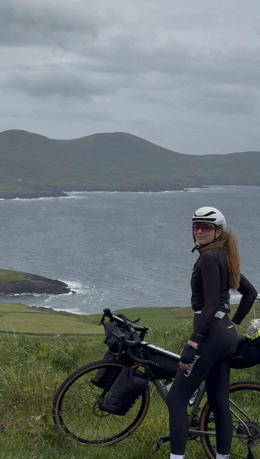
The heart of the Ring of Kerry: 79 km along the coast to Waterville, the climb up to the Kerry Cliffs above the Skelligs, over Valentia Island, then the little ferry back to the mainland and Cahersiveen.
Map, elevation, and the route file to take with you.
From Sneem the route follows the N70 Ring of Kerry west along the coast, over the Coomakista Pass and down into Waterville for coffee. From there it turns onto the R567 and R566 up the Skellig Ring to the Kerry Cliffs — the R566 pitch is short but steep, and some walking is fair game. It carries on to Portmagee, crosses the bridge onto Valentia Island and climbs Geokaun before dropping to Knightstown, where the seasonal five-minute ferry to Reenard Point lands you a short spin from the finish in Cahersiveen. The route file has the full line.
Day six is the one that draws people to Ireland's southwest in the first place: the Ring of Kerry, the Iveragh peninsula's great coast road, with a detour out to the Skellig Coast that most cars never take.
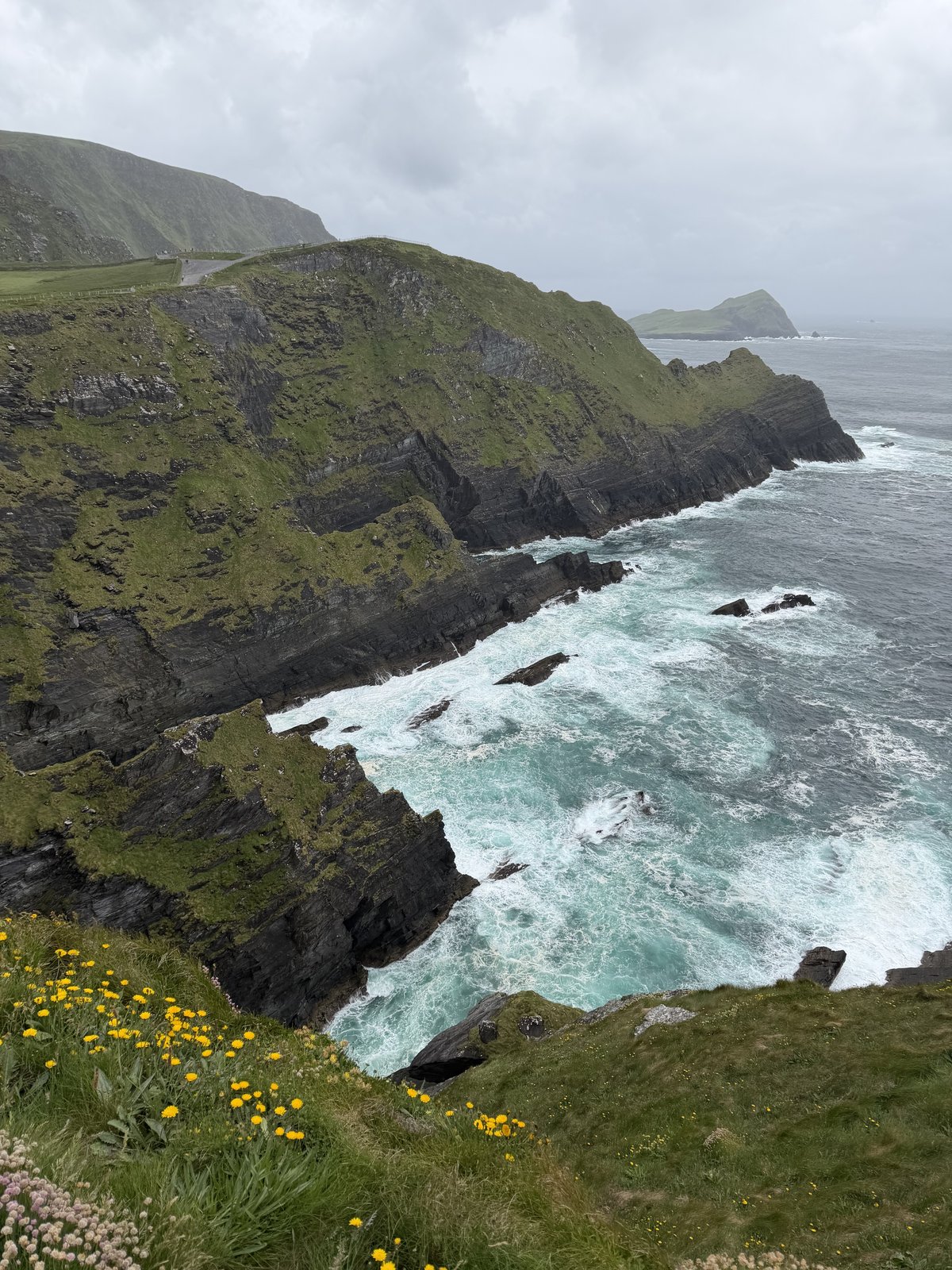
"Some places feel like the last solid thing before the open Atlantic. The Kerry Cliffs are one of them, with only a scatter of islands between the edge you're standing on and the far side of the ocean."
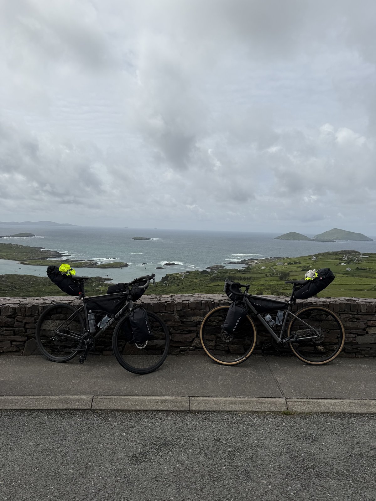
The Ring of Kerry is the most famous loop in the country, and the stretch out of Sneem shows you why almost straight away. The N70 hugs the coast west, climbing over the Coomakista Pass to a view back across a bay stitched with islands, then rolling down toward Waterville. It is a village that has punched above its weight for a long time: Charlie Chaplin holidayed here for years, and there is a statue of him on the seafront to prove it. We pulled in for coffee and scones at Beachcove, a friendly little café on the front, and could have happily stayed longer.
The road wasn't finished with us, though. A local we got chatting to insisted we not leave without seeing the Kerry Cliffs, and on this coast, when someone tells you not to miss something, you go. The turn onto the Skellig Ring and the pull up the R566 is the steepest of the day, short and sharp, and it's completely okay to walk a stretch if you need to, but the top pays it back completely. The Kerry Cliffs rise around 300 metres straight out of the sea, taller than the better-known Cliffs of Moher, and far quieter. From the edge you look out to the Skellig Islands, the jagged UNESCO-listed rocks where monks built a monastery in the sixth century and where the Star Wars films later found the end of the galaxy. It genuinely feels like the edge of the world.
Beyond Portmagee the route crosses the bridge onto Valentia Island and climbs Geokaun, at 266 metres the island's highest point, where the Fogher Cliffs fall away to the north and the view runs from the Skelligs to the Blaskets to the Dingle peninsula. Valentia has an outsized place in history for such a small island — the first permanent transatlantic telegraph cable was laid from here in 1866, briefly making it the closest Europe got to America. From Knightstown at the far end, a little car ferry crosses the channel to Reenard Point in about five minutes, a fitting last leg of a day that keeps finding water to cross.
Cahersiveen closes it out. One of the westernmost towns in Europe, it is the birthplace of Daniel O'Connell, "The Liberator", who won Catholic emancipation in 1829, and a proper market town rather than a tourist strip. A storm chased us in off the sea, which only made the evening better: pizza at The Oratory, a gourmet spot set inside St Finnian's, a church built in the 1860s, and then a pint and live music down the street at the Kerry Coast Hotel. A good place, and a good way, to end the longest peninsula on the Ring.
The reel from day six. Open on Instagram →
Food, refreshments, and local hints. Filter below.
The opening stretch is classic Ring of Kerry: the N70 west along the coast, climbing over the Coomakista Pass to a big view back over the bay and its islands. It rolls rather than flattens, so settle in and enjoy it. This is the main tour-coach road, generally run anticlockwise, so hold your line on the narrow bits and let traffic pass where it's safe.
Open in Maps →Where we stopped for coffee and scones. Beachcove is a warm little café on the Waterville seafront doing proper coffee, homemade cakes and scones, and full breakfast and lunch, with a cosy bit of outdoor seating and a welcome for dogs. A good spot to refuel and take in the town before the climb out to the cliffs. Free parking across the road.
Open in Maps →The turn off the main ring onto the Skellig Ring and the pull up the R566 is the steepest bit of the day. It's short but sharp, so drop into your easiest gear, and it's completely okay if you have to get off and walk a stretch. The reward is right at the top, and the Skellig Ring itself is one of the quietest, most scenic corners of the whole route.
Open in Maps →The high point of the day, literally and otherwise. The Kerry Cliffs drop around 300 m to the sea, taller than the Cliffs of Moher and far less crowded, with one of the closest mainland views of the Skellig Islands — the UNESCO-listed monastic rocks made famous by Star Wars. There's a small entry fee and a coffee kiosk. Mind the wind at the edge; it can be fierce.
Open in Maps →Over the bridge from Portmagee, the route climbs Geokaun, at 266 m the highest point on Valentia, with 360-degree views over the Skelligs, the Blaskets and Dingle from the Fogher Cliffs. It's a small toll to drive up, free to walk or ride, and open around the clock. Valentia also laid the first transatlantic telegraph cable in 1866 — a lot of history for a quiet island.
Open in Maps →From Knightstown at the east end of Valentia, a small car ferry shuttles across to Reenard Point in about five minutes, running roughly every ten minutes. It's seasonal (about April to October) and cheap for cyclists, a couple of euro. Worth checking the last sailing before you set out, and it drops you a short, easy spin from the finish in Cahersiveen.
Open in Maps →Dinner, and a good story. The Oratory serves gourmet pizza inside St Finnian's, a former Church of Ireland church built in the 1860s, high ceilings and stained glass and all. Fresh, locally sourced toppings with imported Italian meats and cheeses, and walk-ins welcome. A perfect end after a long, wet day on the bike.
Open in Maps →There are a couple of great spots for a pint and a tune here. We ended up at Frank's Bar in the Kerry Coast Hotel, which runs live and trad music through the week with a summer beer garden. Mike Murt's on New Market Street is another gem, a proper old-school Irish pub with regular trad sessions. Either way, you won't go short of music to finish the day.
Open in Maps →The night's base in Cahersiveen, and how to book it yourself.
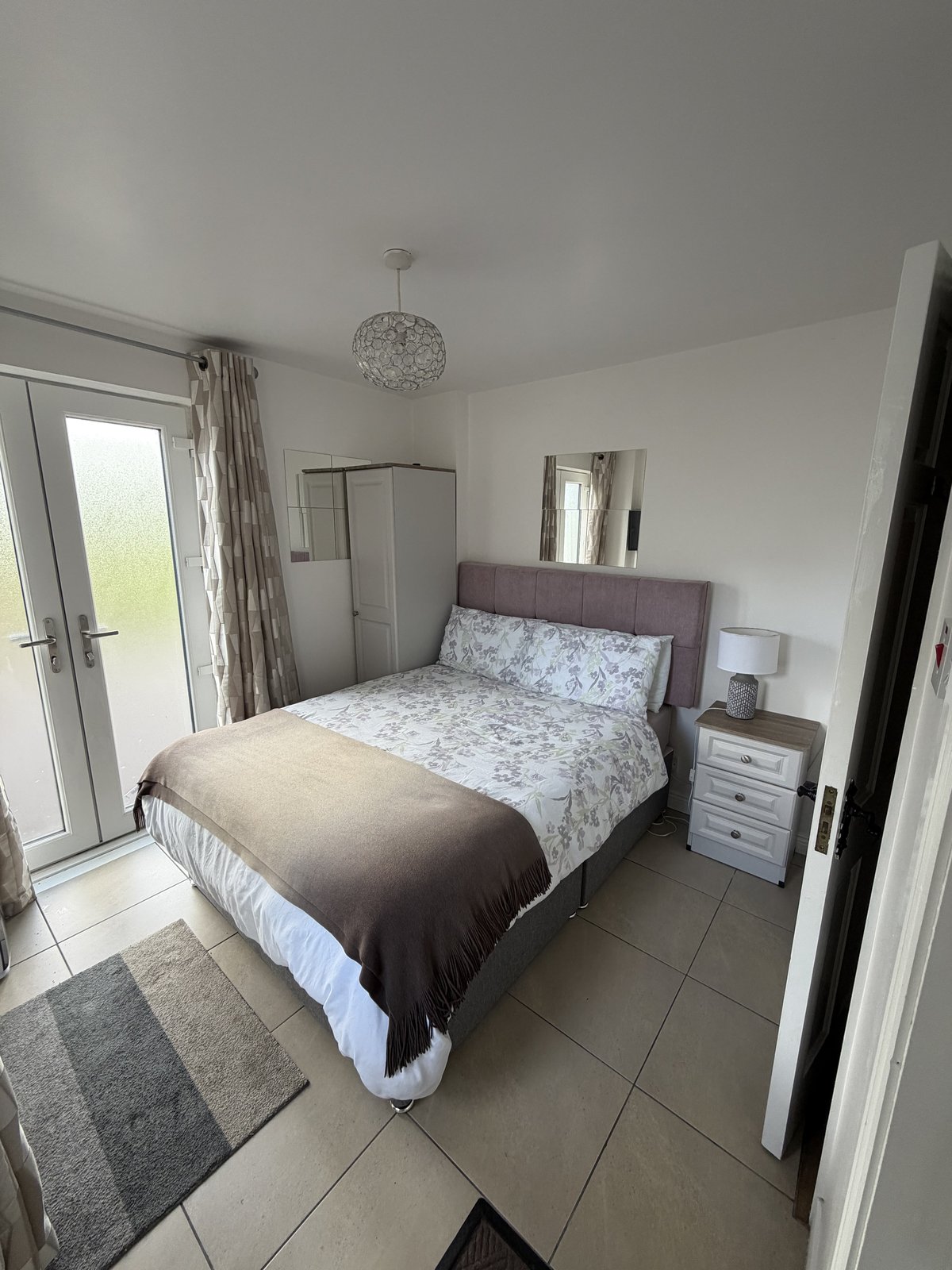
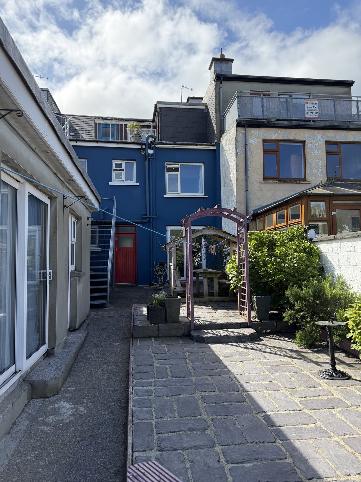
A friendly, well-run spot in the centre of Cahersiveen, right on the Ring of Kerry and a short walk from everything in town. It has private double and twin rooms as well as dorms, some ensuite, with a light breakfast included, a full kitchen and laundry, and a covered shed out back to lock the bikes. They'll even sort a lift to the Skellig boats from Portmagee if you're staying on.
A few frames from day six.