Pace Partners Collective ← Trip overview
Wild Atlantic Way · Day 7

Cahersiveen to Dingle

A brand-new trail on an old railway line: 105 km from Cahersiveen, picking up the South Kerry Greenway on the way to Glenbeigh, then over onto the Dingle Peninsula and into Dingle town for ice cream and a tune.

105 km
Distance
950 m
Elevation
5–6 hr
Ride time
Moderate
Difficulty

The route

Map, elevation, and the route file to take with you.

⤓ Download GPX

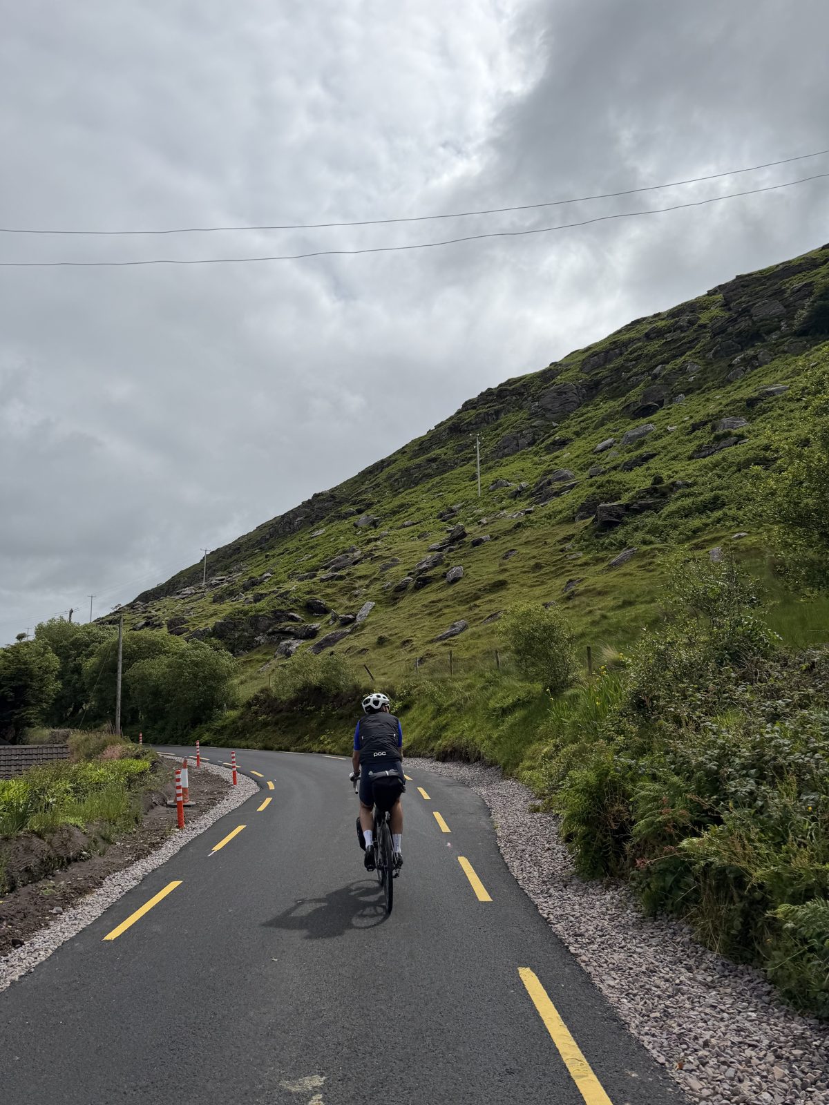
A little way out of Cahersiveen the route meets the first stretch of the South Kerry Greenway, the traffic-free trail being laid along the old Killorglin–Valentia railway. It's still opening in stages, so you dip on and off it in relatively short sections, linked by quiet road, as it heads northeast above Dingle Bay through Kells and Mountain Stage toward Glenbeigh. From there the day is back on the road: on to Killorglin, across onto the Dingle Peninsula near Castlemaine, and along the south coast past Inch Strand before finishing in Dingle. The route file has the full line.

About this ride

Day seven crosses from the Iveragh peninsula to the Dingle peninsula, and takes in one of Ireland's newest cycling trails: the South Kerry Greenway, a railway line reborn as a bike path.

"A hundred years ago this was a railway carrying farmers and fish to market. Now it's a smooth, car-free ribbon along the edge of Dingle Bay, and riding it feels like being let in on a secret."

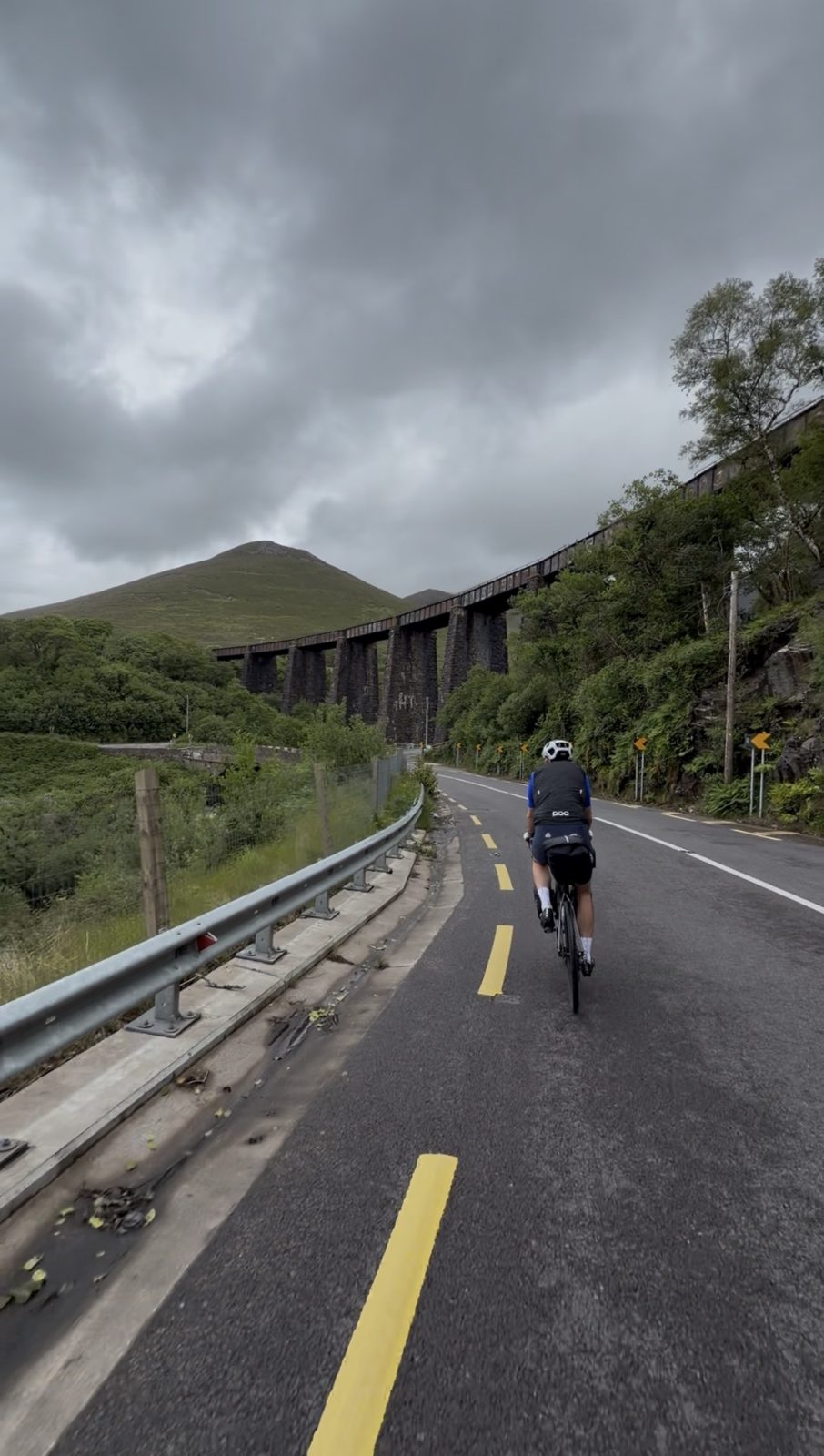
For sixty-odd years the line from Killorglin out to Valentia Harbour was the most westerly railway in Europe, hauling passengers, cattle and mail along the south shore of Dingle Bay from 1893 until it made its last run in 1960. The tracks came up, but the corridor stayed, and it is now being rebuilt piece by piece as the South Kerry Greenway. A little way out of Cahersiveen we rolled onto the newest sections, some of the first people to ride them, and they are a joy: a gentle, mostly car-free grade with the water on one side and the mountains on the other, threading the restored cuttings and stone viaducts the old engineers left behind. The Gleensk viaduct alone is worth the trip.

Most people meet the Ring of Kerry through a coach window. On a bike you get the version the road can't give you, the smell of the gorse, the sheep on the verge, the way the light moves across the bay, and you have the time to stop for it. We pulled off in Glenbeigh, a small village under the Seefin hills near the long sandspit of Rossbeigh strand, and found Kev's Shed, a friendly little coffee stop where we sat out on the patio by the water with pastries and flat whites and were in no rush to leave.

From Glenbeigh the route runs on to Killorglin, the goat-crowning capital of the annual Puck Fair, and then leaves Iveragh behind to cross onto the Dingle Peninsula, Corca Dhuibhne, one of the strongest Gaeltacht areas in the country where Irish is still the everyday language. This is a good place to top up supplies before the peninsula's south coast, which runs past Inch Strand and Annascaul with shops and cafés thin on the ground, even if you never lose phone signal. The road stays fairly busy until the first climb thins the traffic out, and after that it opens up into the big sea views the trip has spoiled us with.

Dingle, Daingean Uí Chúis, is the reward at the end, and the biggest town of our whole tour. A working fishing harbour wrapped in a maze of brightly painted streets, it packs in more good pubs, restaurants and craft shops than a town its size has any right to. We went straight for Murphy's Ice Cream, made in the town from the milk of local Kerry cows, then wandered into O'Flaherty's on Bridge Street for a pint and a trad session, the kind of easy, music-filled evening you plan a whole trip around. It is a place worth staying put in, which is exactly what we did, for two nights.
Watch the day

The reel from day seven. Open on Instagram →

Stops along the way

Food, refreshments, and local hints. Filter below.

Hint · The greenway

Onto the South Kerry Greenway

~10–30 km · toward Glenbeigh

A little way out of Cahersiveen the route picks up the South Kerry Greenway, the new traffic-free trail built along the old Killorglin–Valentia railway. It's a gentle, mostly car-free grade above Dingle Bay through Kells and Mountain Stage, past restored cuttings and the striking Gleensk viaduct. It's being opened in stages, so check which sections are live before you go, and roll the linking road stretches with care.

Open in Maps →
Food · Glenbeigh

Kev's Shed

~30 km · Glenbeigh

Our coffee stop in Glenbeigh, and a good one. Kev's Shed is a relaxed little spot doing proper coffee and pastries, with a patio by the water to sit out and take a breather. A well-placed halfway pause before you leave the Ring of Kerry behind, in a village handy for Rossbeigh strand if you fancy a detour to the beach.

Open in Maps →
Hint · Fuel up

Stock up before the peninsula

~45 km · Killorglin

Killorglin, home of the Puck Fair, is your last proper town before the Dingle Peninsula, so it's a smart place to refuel and top up bottles and snacks. Once you cross onto the peninsula, shops and cafés get sparse along the south coast (you'll keep phone signal, but not much else), so it pays to sort yourself out here rather than counting on something later.

Open in Maps →
Hint · The Dingle Peninsula

Inch Strand and the south coast

~55–90 km · Corca Dhuibhne

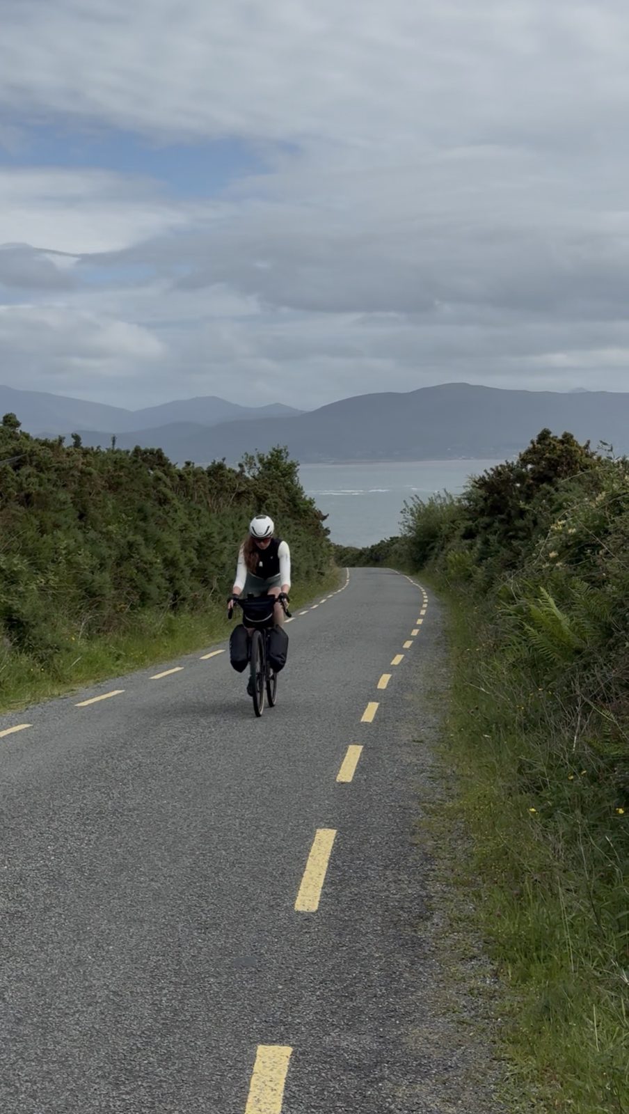
Crossing near Castlemaine, the route joins the south side of the Dingle Peninsula, Corca Dhuibhne, a strong Gaeltacht where Irish is still spoken day to day. It rolls past the long sweep of Inch Strand and through Annascaul with wide sea views. The road stays fairly busy until the first climb, which thins the traffic out, so hold your line early on and keep something in the tank for the run into Dingle.

Open in Maps →
Food · Dingle

Murphy's Ice Cream

~105 km · Dingle

The first stop in town, as it should be. Murphy's has been making ice cream in Dingle since 2000, using milk from local Kerry cows and no colourings or powders, just real ingredients and a few properly Irish flavours like sea salt and brown bread. The perfect thing to roll up to after a long day in the saddle.

Open in Maps →
Refresh · Dingle

O'Flaherty's Bar

~105 km · Dingle

Where we wound up for the evening. O'Flaherty's on Bridge Street is a proper old Dingle pub, trading since 1846, with original Valentia flagstones underfoot and one of the best trad sessions in town most nights, often led by the family themselves. A pint, live music and no reason to be anywhere else. A brilliant way to end the day.

Open in Maps →

Where we stayed

Our base in Dingle, where we stayed two nights, and how to book it yourself.

Overnight · Dingle

Áras de Staic

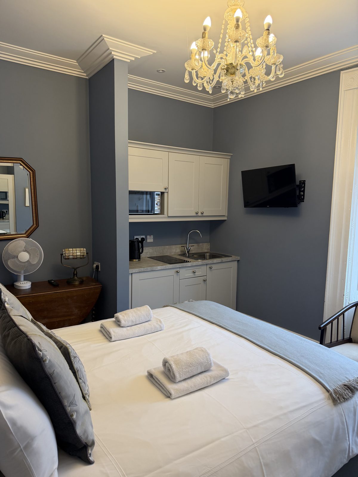
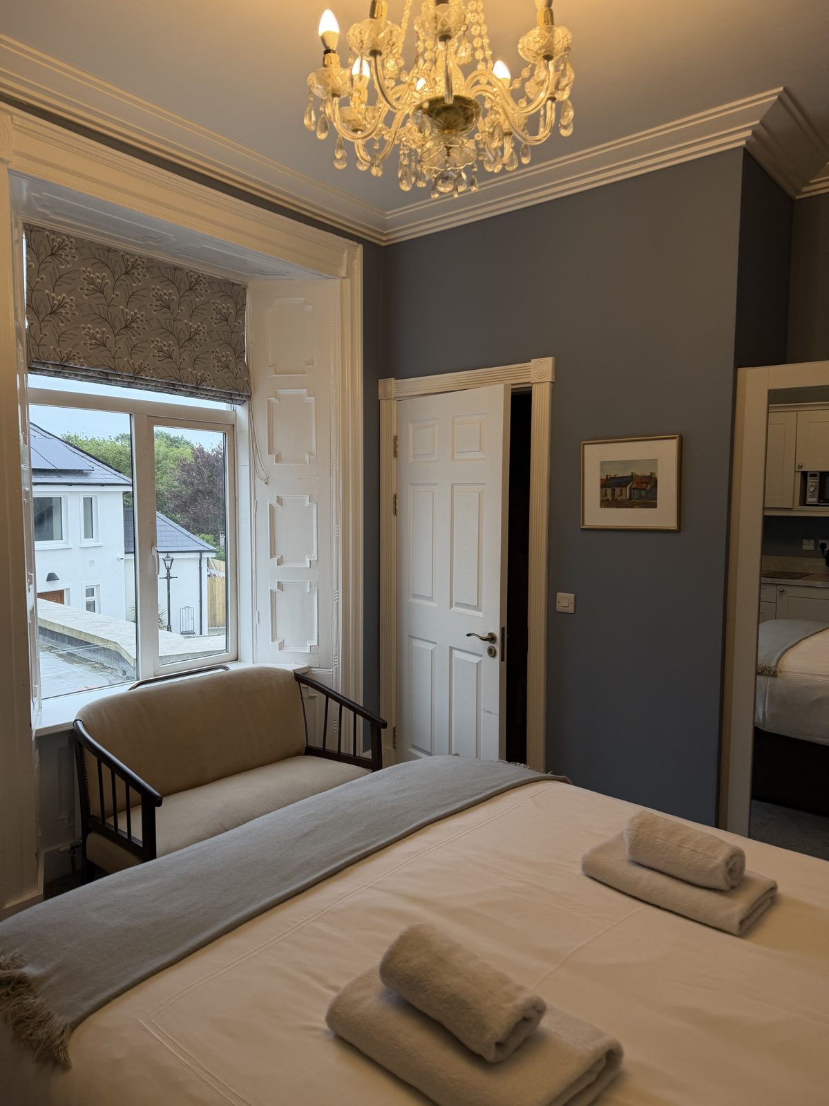
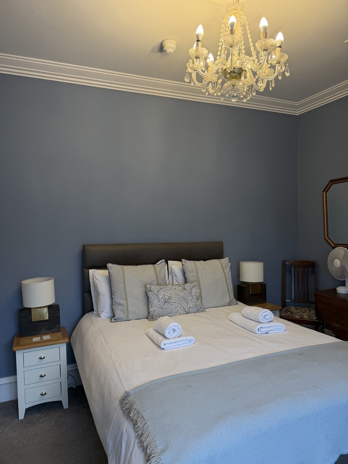
A set of boutique self-catering residences in a lovingly restored 17th-century Georgian townhouse on Green Street, right in the heart of Dingle. The rooms mix antique touches with modern comfort, each with its own kitchenette, and you're a short walk from every pub, restaurant and craft shop in town. A characterful, central base that made staying two nights an easy call.

From the ride

A few frames from day seven.

← Previous dayDay 6 · Sneem to Cahersiveen