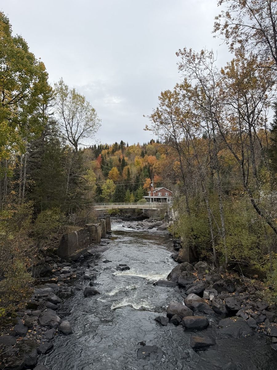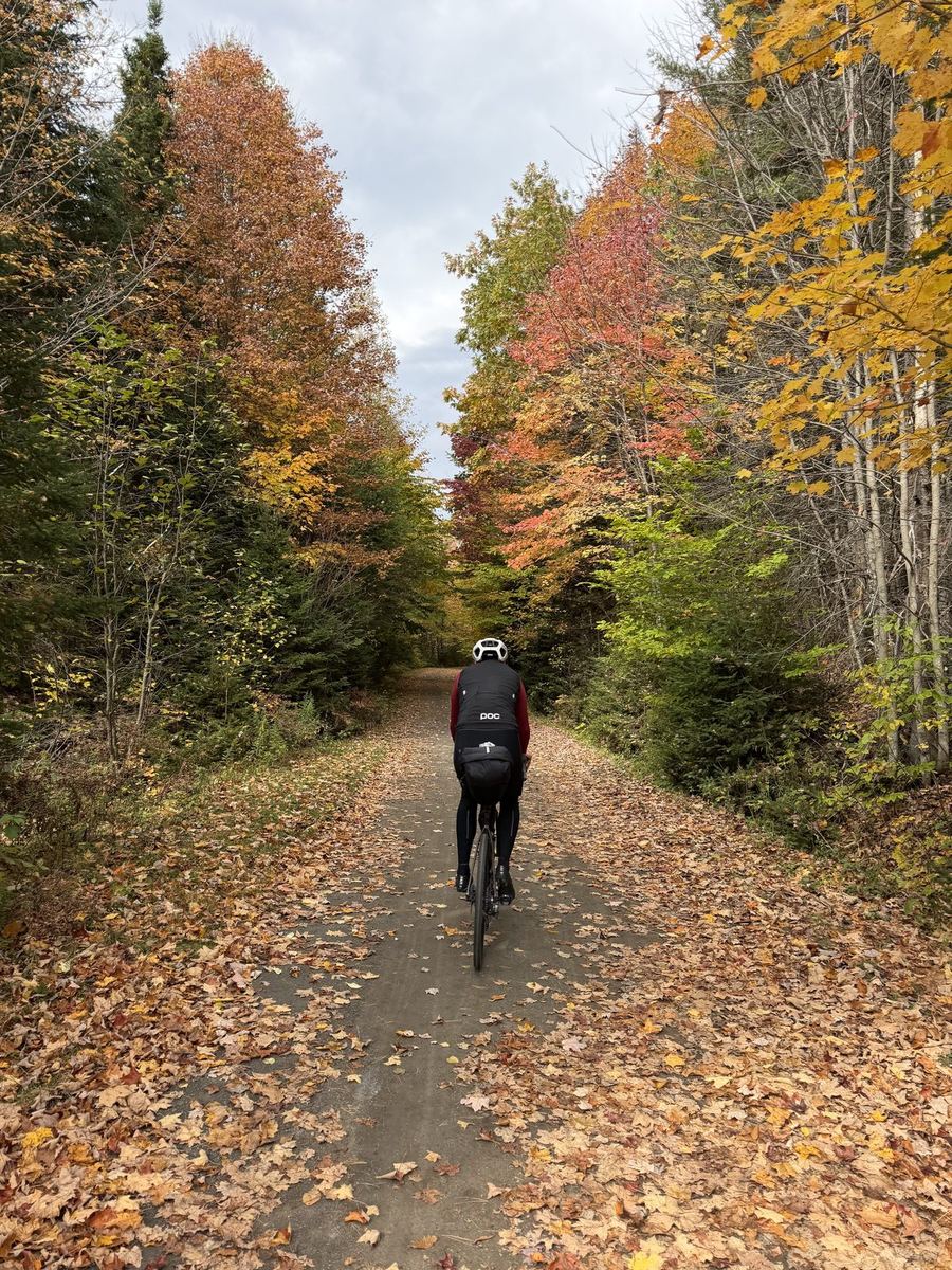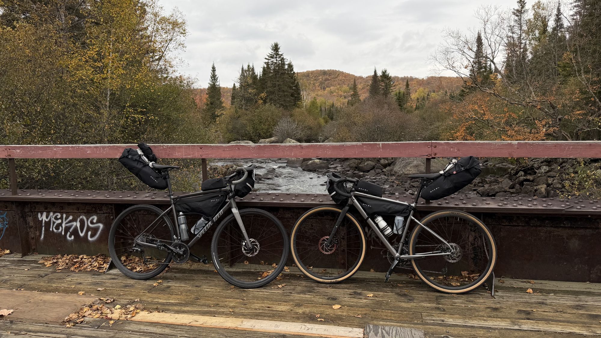
The first of four days on Le P'tit Train du Nord: 99 km north from Saint-Jérôme on the old railway bed, through Sainte-Adèle and Val-David to Mont-Tremblant.
Distance
99 km
Elevation
490 m
Ride time
4.5–5.5 hr
Difficulty
Moderate
The route
About this day
The first day of four, and the trail does most of the work for you. Coffee in an old station, a kilometre post every kilometre, and the mountains getting closer all afternoon.
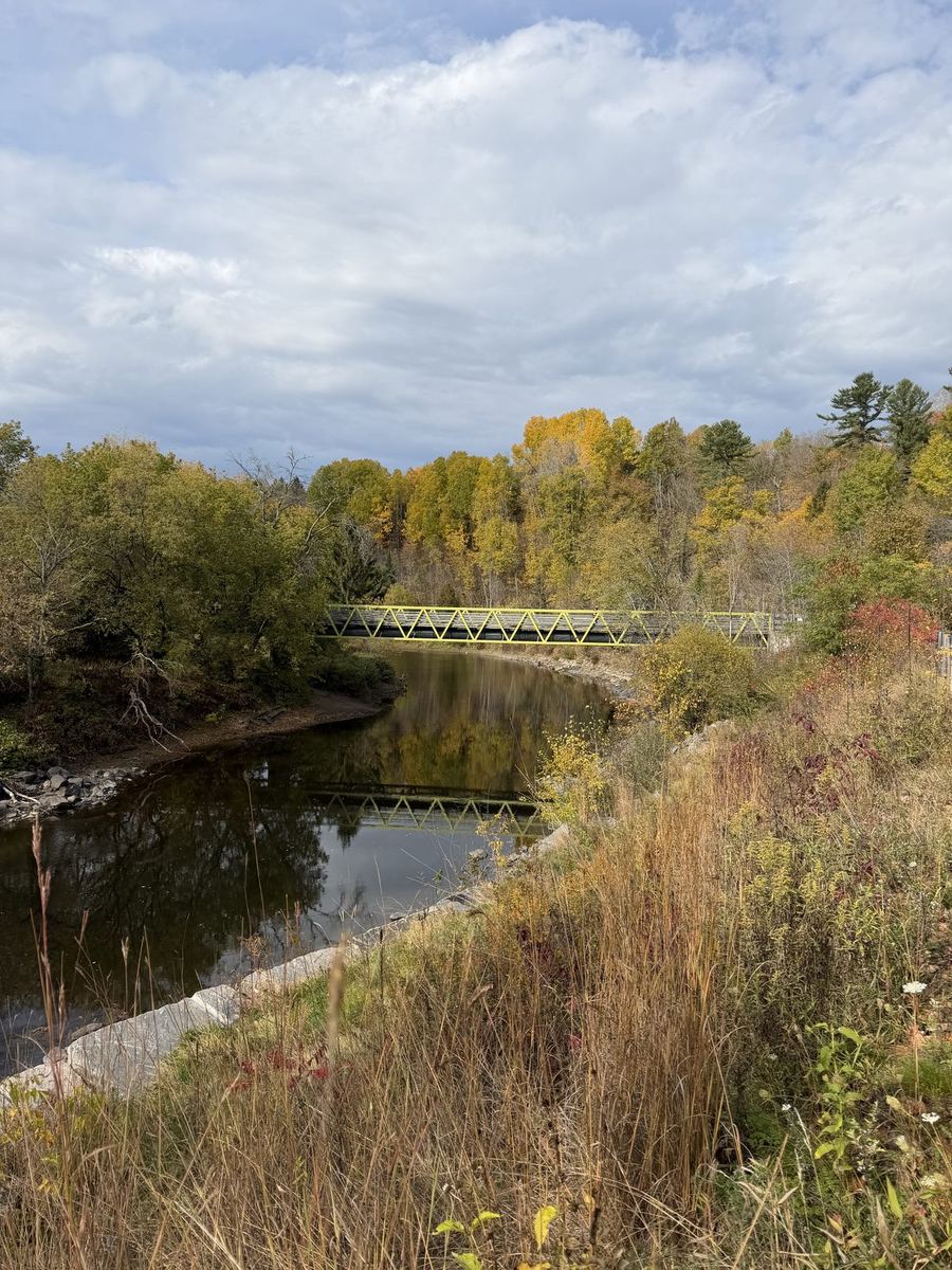
Saint-Jérôme is kilometre zero, and fittingly so: it was the parish of Curé Antoine Labelle, the priest who pushed for this railway to open up the north. From the station the trail heads straight out of town on packed gravel, and it stays that way for roughly the first 40 km, through Prévost and Sainte-Adèle to Val-David. It is the only gravel on the way north, and when we rode it the surface was firm enough that it never slowed us down much.
Past Val-David the trail turns to pavement and keeps climbing gently, as it does almost all day. Saint-Jérôme sits under 100 m above sea level, and the trail's high point, a little past Saint-Faustin-Lac-Carré, is over 400 m. Because the line was graded for trains you barely notice it. Old stations and railway cars along the way have been turned into cafes and rest stops, so there is rarely a long gap without somewhere to refill.
The day ends in Mont-Tremblant. Rather than following the old line all the way, we turned off near the end onto a separate bike path that runs up to the village at the foot of the mountain. It was a great way to finish the day.
Along the way
6 of 6 showing
0 km · Saint-Jérôme
We left the car at the trail's parking lot in Saint-Jérôme, right at kilometre zero. When we were there it was paid on weekdays and free on weekends, so check the signs when you arrive. If you are coming from Montreal, the train to Saint-Jérôme stops next to the trail too.
Open in Maps →0–40 km · Saint-Jérôme to Val-David
The first stretch is compact gravel, and it is the only gravel on the way north. We found it firm and easy going, but conditions change, so check the trail's status page before you set off. It also lists any closures along the trail. Small signposts mark every kilometre, which makes it easy to keep track of where the stops are.
Trail conditions →~25 km · Sainte-Adèle
One of the old stations along the line, now a cafe right on the trail with a terrace out front. A good first stop for a coffee and something to eat, with sandwiches and baked goods on the menu. Worth checking their hours, which are shorter early in the week.
Open in Maps →~42 km · Val-David
Close to the halfway point and right around where the gravel turns to pavement, Val-David is a very picturesque little village and a great place to stop for lunch. The trail runs straight through, so it is an easy pull-off with plenty of options a short walk away.
Open in Maps →~84 km · Mont-Tremblant
A cafe and pâtisserie right beside the trail as it passes through Mont-Tremblant. We pulled in here to warm up with a coffee and a pastry before the last 15 km, and it was exactly what we needed.
Open in Maps →~93 km · Mont-Tremblant
Near the end, the route turns off the P'tit Train du Nord onto a separate bike path that takes you the last few kilometres up to the village at the base of the mountain. Keep an eye on the route here so you do not miss the turn.
Where we stayed
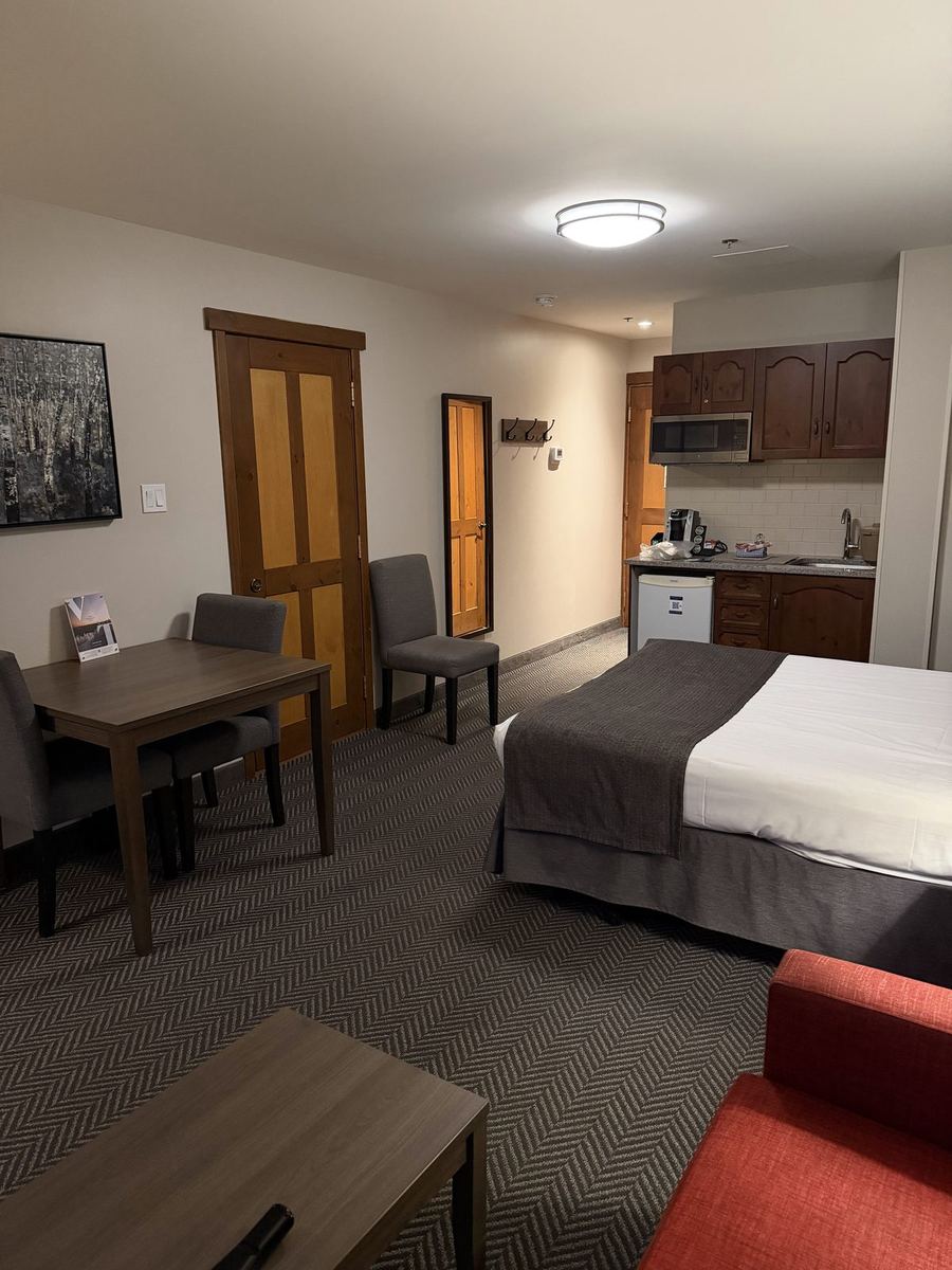
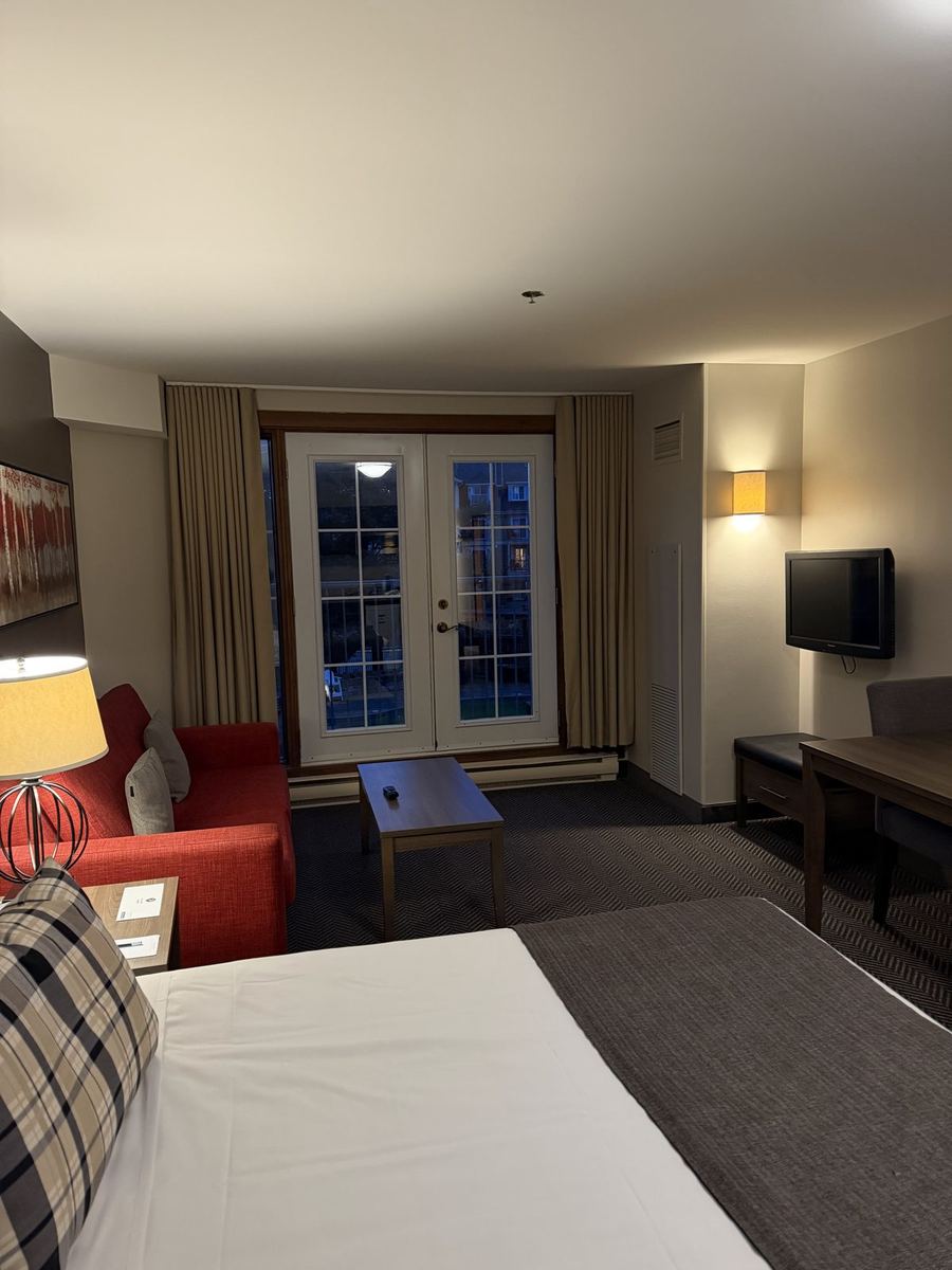
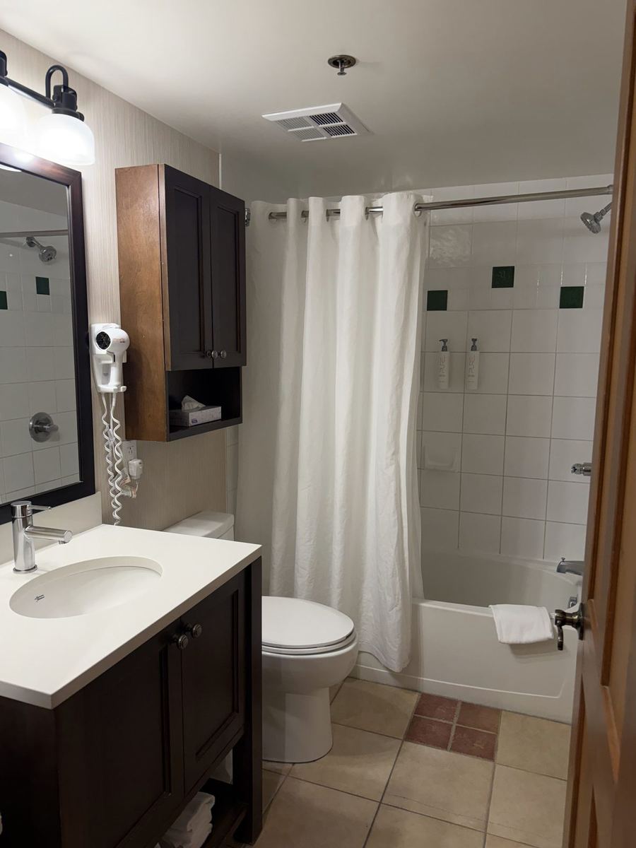
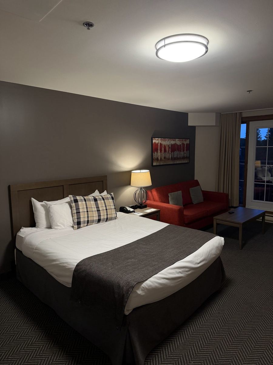
Our base for the night in Tremblant's pedestrian village, at the foot of the mountain and a short roll from the end of the bike path. We stayed in a standard room, which had a kitchenette and a balcony. They let us bring our bikes into the room as long as they were clean, so we gave them a quick wash outside first. Restaurants are on the doorstep, which is all you want after a day on the trail.
From the day