Home / Le P'tit Train du Nord / Day 2 of 4
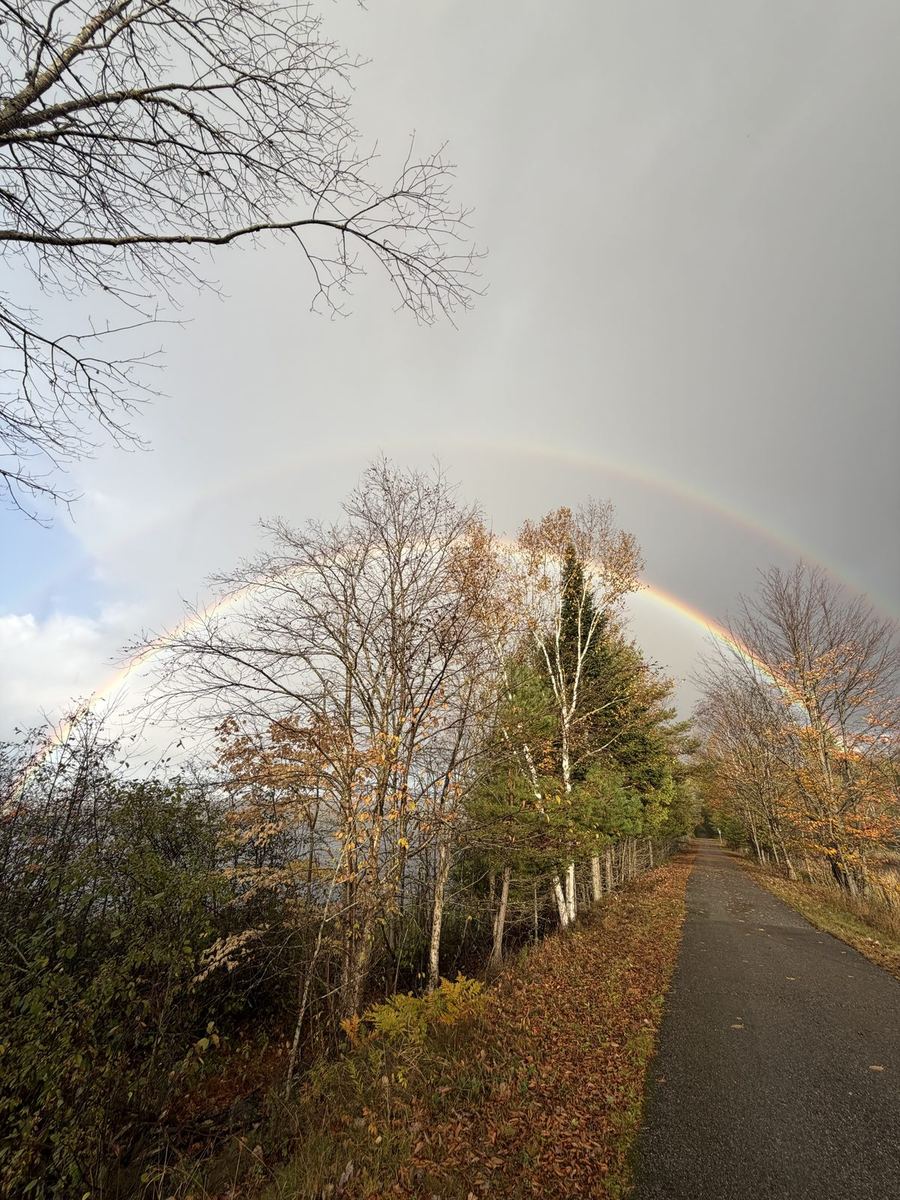
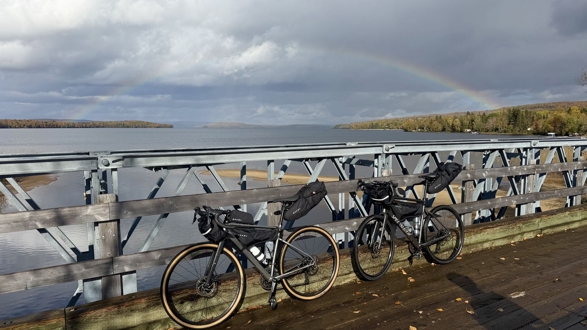
Our two loaded bikes leaning on a bridge railing over a lake, with a rainbow overhead

Mont-Tremblant to Mont-Laurier

The second of four days on Le P'tit Train du Nord: 116 km from Mont-Tremblant through Labelle and Nominingue to Mont-Laurier, the northern end of the trail and the halfway point of our trip.

Distance

116 km

Elevation

305 m

Ride time

5.5–6.5 hr

Difficulty

Moderate

The route

Map, elevation, and the file to take with you

⤓ Download the GPX file

About this day

North to the end of the line

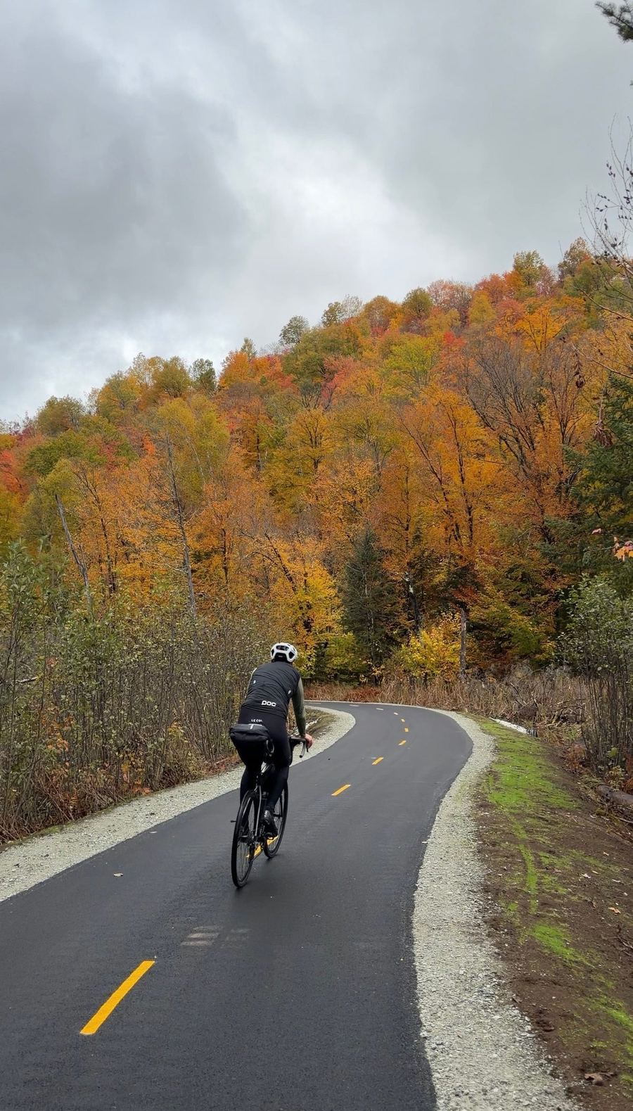
The longest day of the four, and the one where the trail empties out. Lakes, a lot of trees, a poutine early on, and by the end it felt like we had the whole line to ourselves.

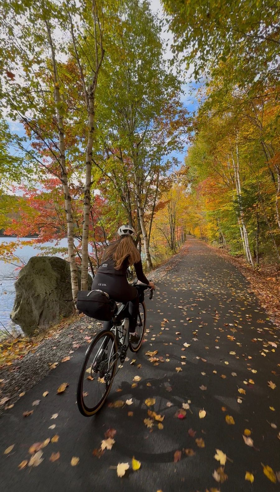
Out of Mont-Tremblant the trail runs along the shore of Lac Mercier, and for us it was one of the best views of the whole trip. From there it heads north to Labelle, a town named for Curé Labelle, the same priest who pushed for this railway in the first place. Its old station is now a small railway museum, right on the trail.

Past Labelle the line follows the Rouge River valley north, through Rivière-Rouge and on to Nominingue, about 60 km in. Nominingue was the end of the railway until the line was extended to Mont-Laurier in 1909, and the old station is now a rest stop for cyclists. The trail climbs gently to its high point a little past Lac-Saguay, then runs gradually down for the rest of the day. It is paved the whole way.

The last 50 km are the most remote stretch of the trip, with long gaps between towns, so plan your food and water around Nominingue. The day finishes in Mont-Laurier, the main town of the upper Laurentians and the northern end of the trail.
Along the way

Stops and tips

6 of 6 showing

Food · Before the start

Maple taffy on snow

0 km · Mont-Tremblant

Tire d'érable: hot maple syrup poured over snow and rolled up on a stick. It is a Quebec classic, and we could not leave Tremblant without trying it. We got ours at the Cabane à sucre de la Montagne. A very good way to start a long day.

Open in Maps →
Hint · The view

Lac Mercier

~5–10 km · Mont-Tremblant

The first stretch out of town follows the shore of Lac Mercier. It comes early, but it is worth a stop for a photo. For us it was one of the best views of the whole trip.

Food · The early stop

Le bar du P'tit Train du Nord

~21 km · Labelle

Right on the trail in Labelle, about 20 km in. We ducked in to warm up and order a poutine, which Francis had been wanting since the day before. It hit the spot.

Open in Maps →
Refresh · Last easy refuel

Nominingue

~60 km · Nominingue

The old station sits right on the trail, and the village is a short roll away. This is the last place we would count on for food and water before the remote stretch, so top up your bottles and grab something to eat here.

Open in Maps →
Hint · The remote stretch

The last 50 km

~60–116 km · Nominingue to Mont-Laurier

From Nominingue to Mont-Laurier the trail gets very remote. We passed one other rider the whole way. Carry enough to get you to the finish, and check the trail's status page before you go, since it lists closures and maintenance on this section.

Trail conditions →
Hint · The finish

Mont-Laurier

~116 km · Mont-Laurier

The trail ends at the old station in Mont-Laurier, the top of the line and the halfway point of our trip. The town has plenty of places to eat, which is all you want after the longest day of the four.

Where we stayed

Gîte au Pied du Courant, Mont-Laurier

Overnight · Mont-Laurier

Gîte au Pied du Courant

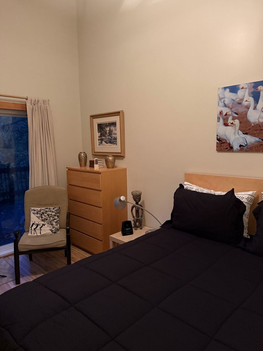
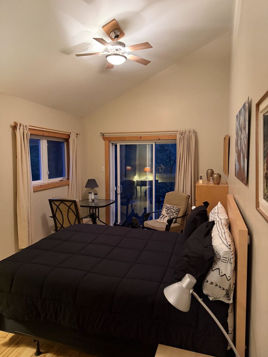
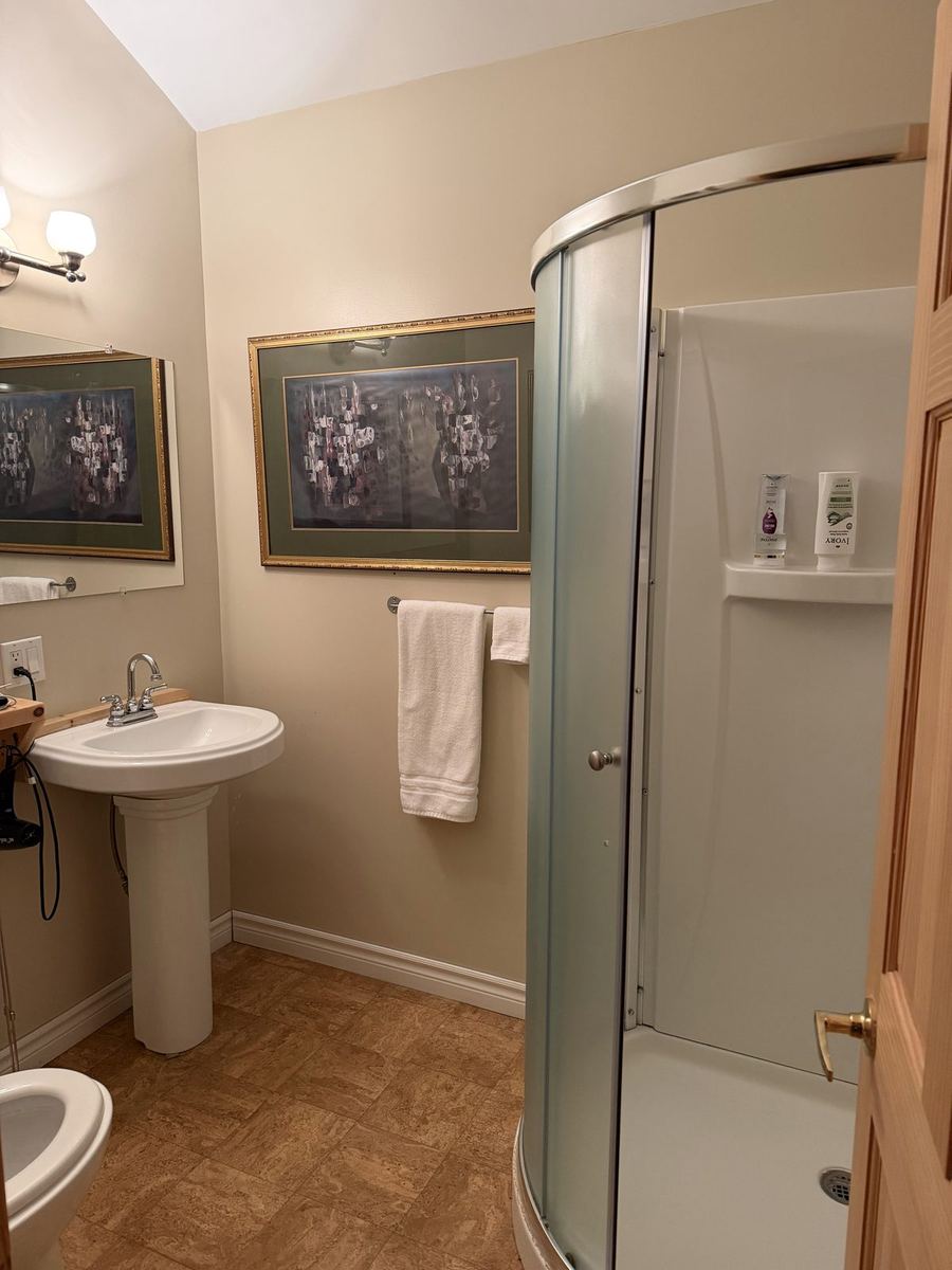
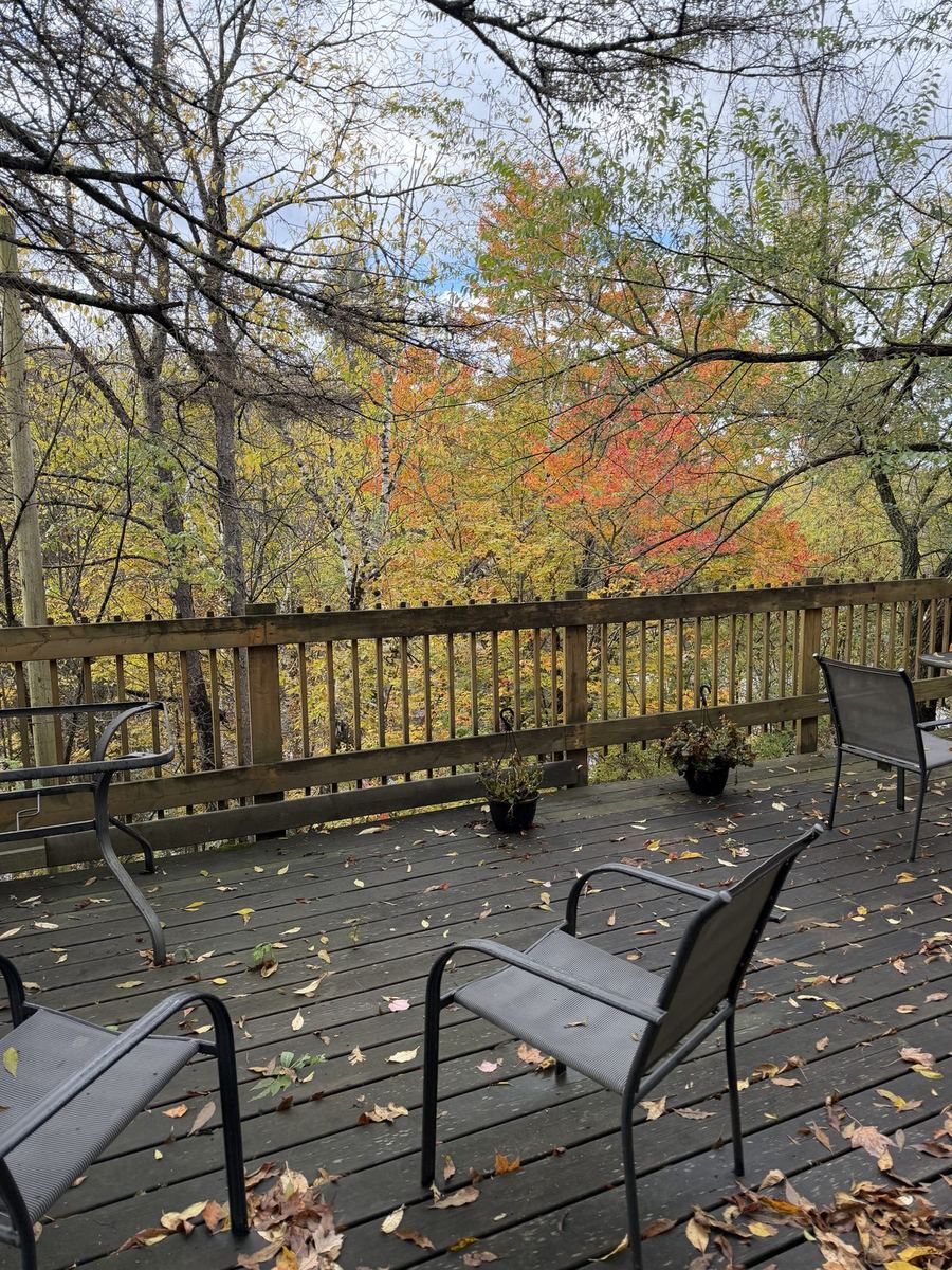
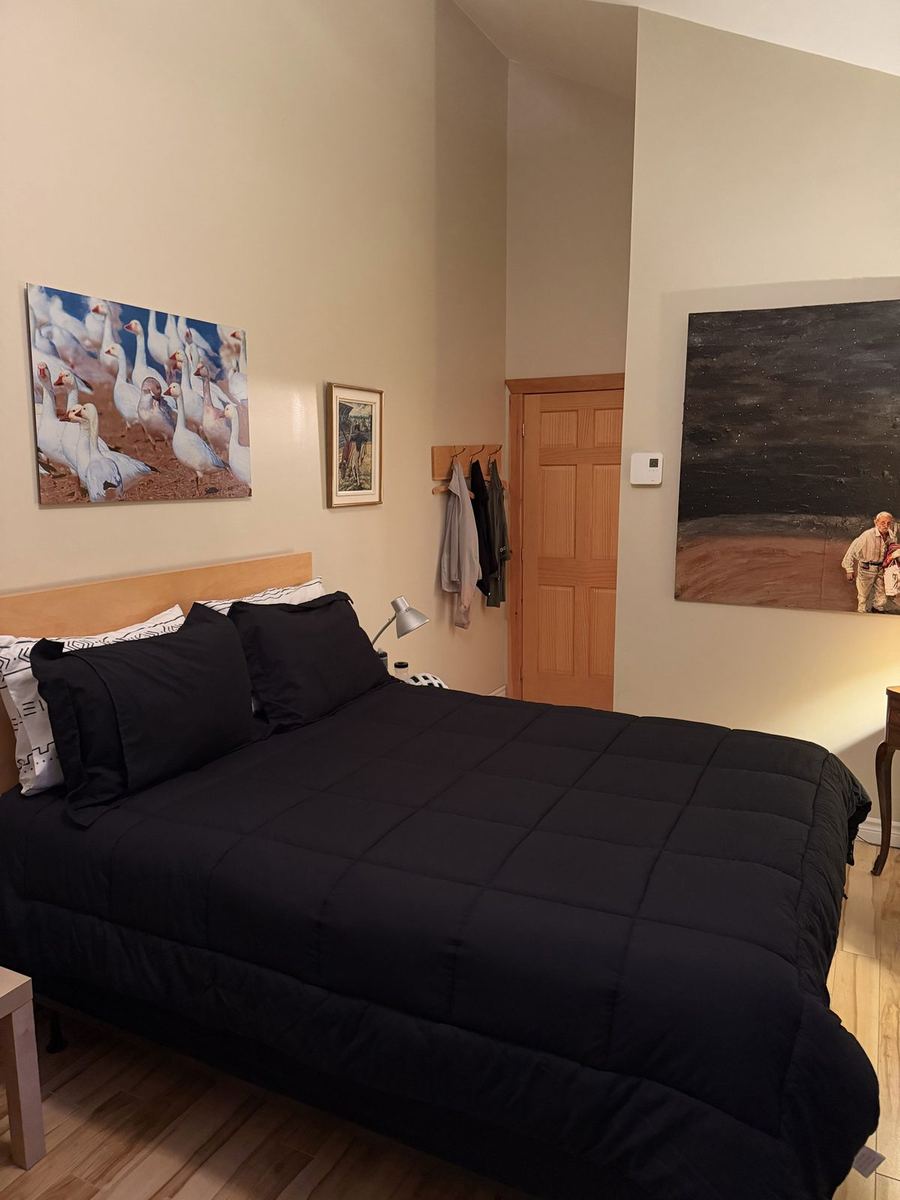
A small guesthouse in town, set above the rapids of the Lièvre River, with a big back deck looking into the trees. Gilbert, the host, was so welcoming. We arrived a little later in the evening, and he called a restaurant in town to reserve a table for us. Our bikes were stored in the backyard overnight.

The rest of the trip