Home / Le P'tit Train du Nord / Day 4 of 4
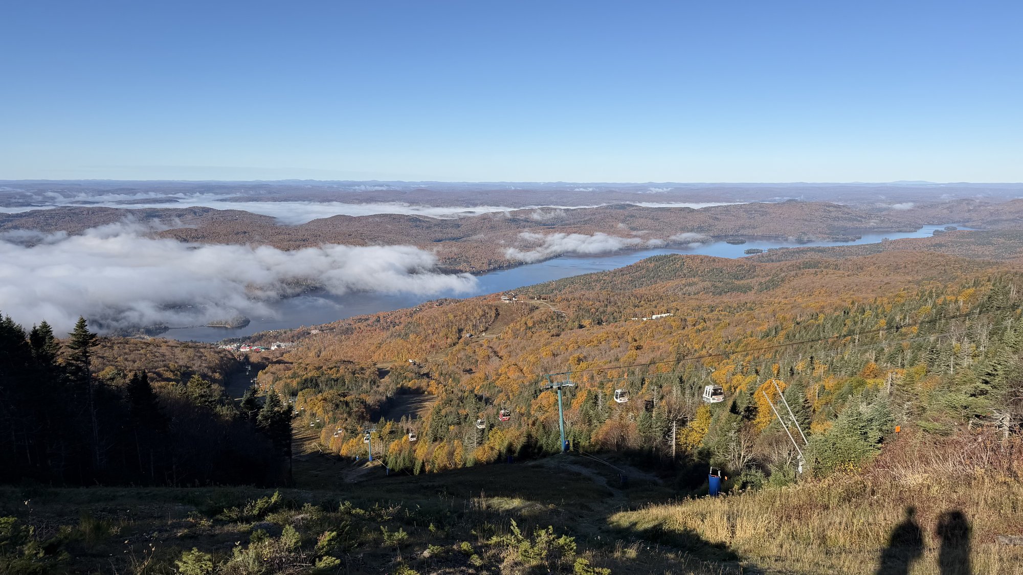
The view from the summit of Mont-Tremblant over Lac Tremblant and low cloud, with gondola cabins on the slope below

Mont-Tremblant to Saint-Jérôme

The last of four days on Le P'tit Train du Nord: 98 km from Mont-Tremblant through Sainte-Agathe-des-Monts and Val-David, back to kilometre zero in Saint-Jérôme.

Distance

98 km

Elevation

454 m

Ride time

4.5–5.5 hr

Difficulty

Moderate

The route

Map, elevation, and the file to take with you

⤓ Download the GPX file

About this day

The ride home to kilometre zero

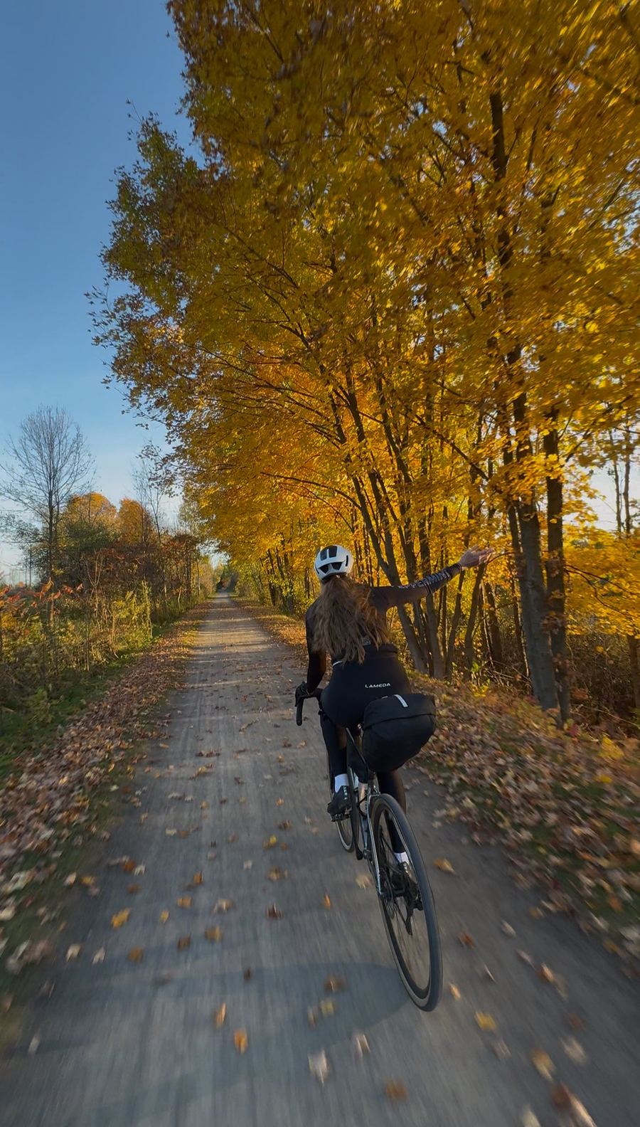
We saved our favourite stretch of the trail for last. A morning on top of the mountain, then a long roll home to where it all started.

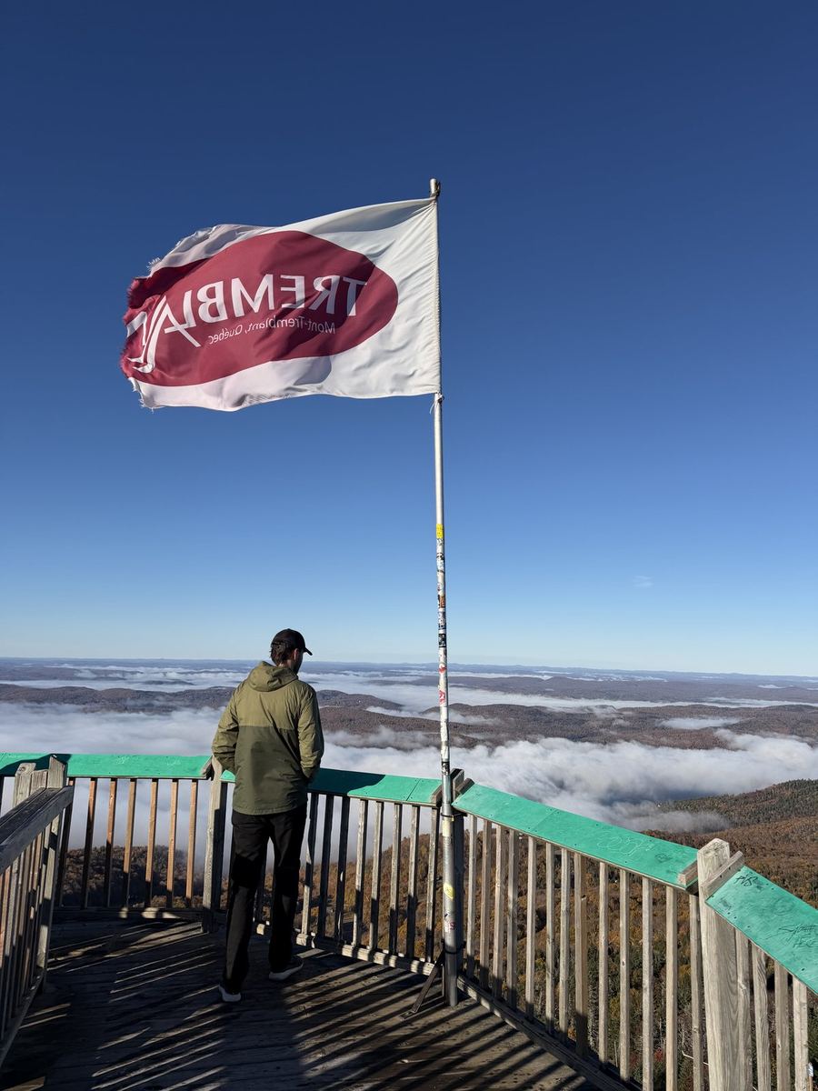
Before getting on the bikes, we took the panoramic gondola up Mont-Tremblant, the highest peak in the Laurentians. It leaves from the pedestrian village, so it is easy to fit in before the ride. Go up at opening time to have the summit mostly to yourselves, and check the hours ahead, since they change through the year.

From the village the trail heads south through Saint-Jovite, then turns east and climbs gently for about 30 km to its high point near Saint-Faustin-Lac-Carré. After that it generally trends downhill the rest of the way, through Sainte-Agathe-des-Monts to Val-David.

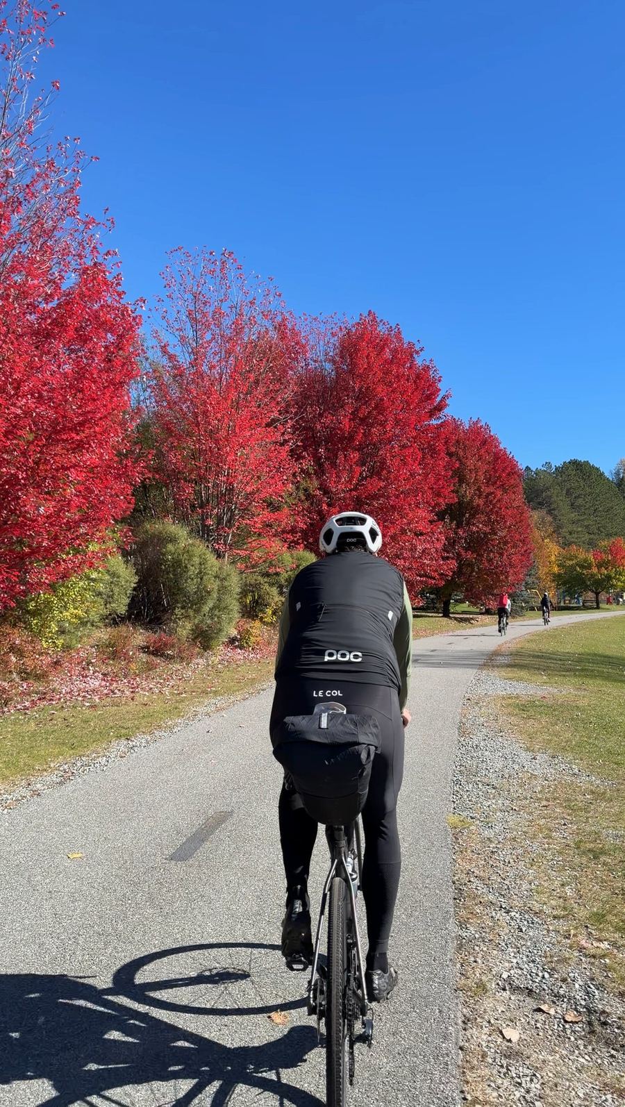
Val-David, a little past halfway, is a good place for lunch. The village has long been known as an artists' community, and its old station, now a visitor centre, sits right on the trail with galleries and public art a short walk away. South of Val-David the pavement ends, and the last 40 km to Saint-Jérôme are packed gravel, through Sainte-Adèle and Prévost to the station where Day 1 began.
Along the way

Stops and tips

6 of 6 showing

Hint · Before the ride

The panoramic gondola

0 km · Mont-Tremblant

The gondola leaves from the pedestrian village and takes you to the summit of Mont-Tremblant. Go at opening time to beat the crowds, then come back down and start the ride from the village.

Gondola hours →
Refresh · Before the start

Giant Mont-Tremblant

0 km · Tremblant resort

Very helpful staff, right in the Tremblant resort at the foot of the mountain, not in town. A good place to ask about tours, stock up on gels before the ride, or rent a bike if you did not bring your own.

Open in Maps →
Hint · An extra day in Tremblant

More riding around Tremblant

Mont-Tremblant

If you have time to stay longer, the gravel around Domaine Saint-Bernard is more challenging than the trail, and beautiful. Road riders can take on the IRONMAN Mont-Tremblant bike course, a well-known route around the area.

Open in Maps →
Food · Lunch

Cœur de Provence

~56 km · Val-David

A cozy café right by the trail in Val-David, with soups, salads, quiches and grilled sandwiches, and a covered terrace. It is only open Thursday to Sunday, so check their hours before you plan around it.

Open in Maps →
Hint · Halfway stop

Val-David

~56 km · Val-David

One of the prettiest villages on the trail and worth a slower roll through. The old station sits right on the path, with galleries and public art a short walk from it.

Hint · The busy stretch

Sharing the trail

~50–98 km · Sainte-Agathe-des-Monts to Saint-Jérôme

This is the busiest part of the trail, and on weekends you will share it with plenty of other riders and walkers. Keep your speed down through the villages and call out before you pass. The last 40 km are also packed gravel.

The rest of the trip

← Previous dayDay 3 · Mont-Laurier to Mont-Tremblant Trip complete →Back in Saint-Jérôme