Home / Le P'tit Train du Nord / Day 3 of 4
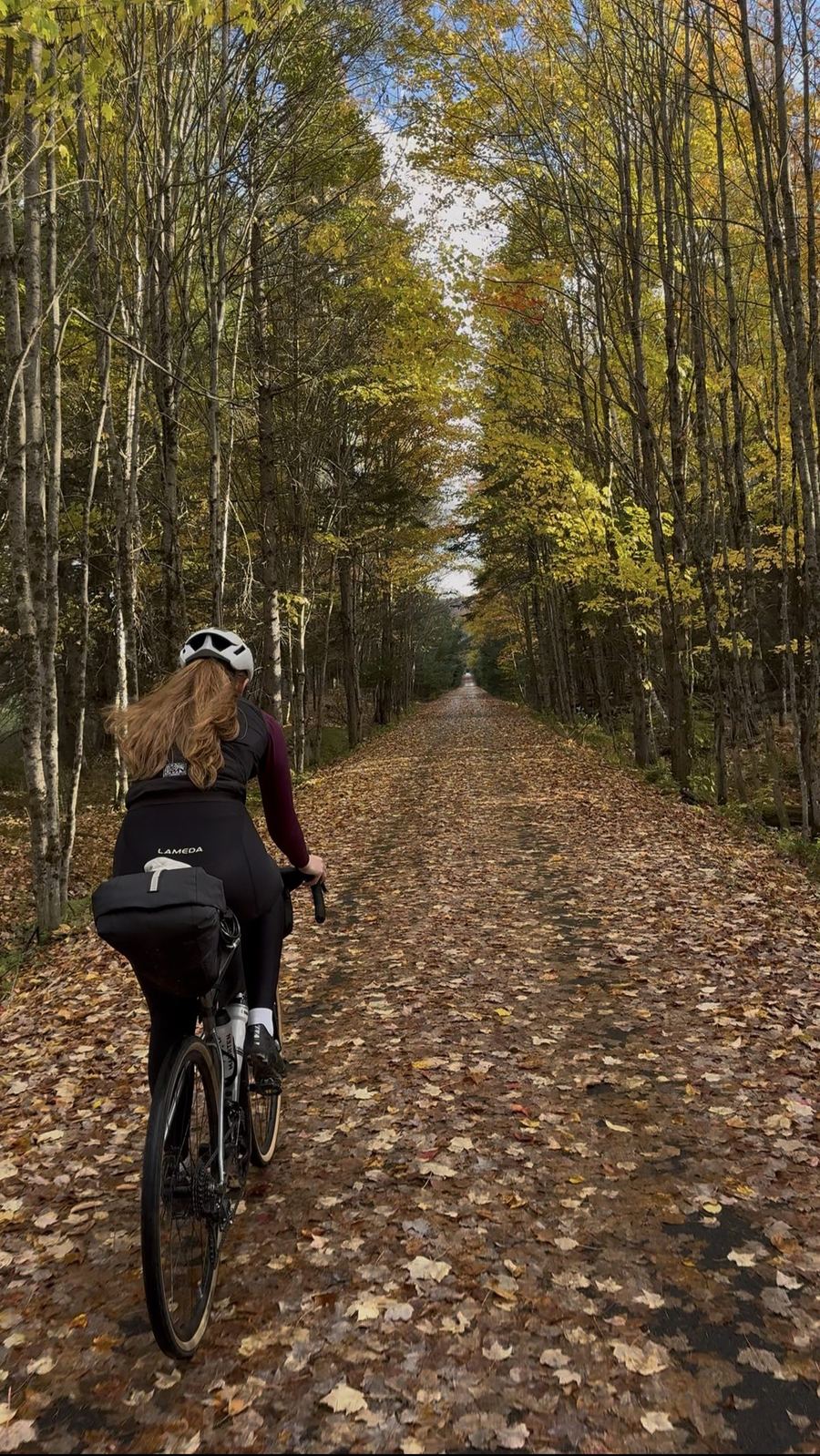
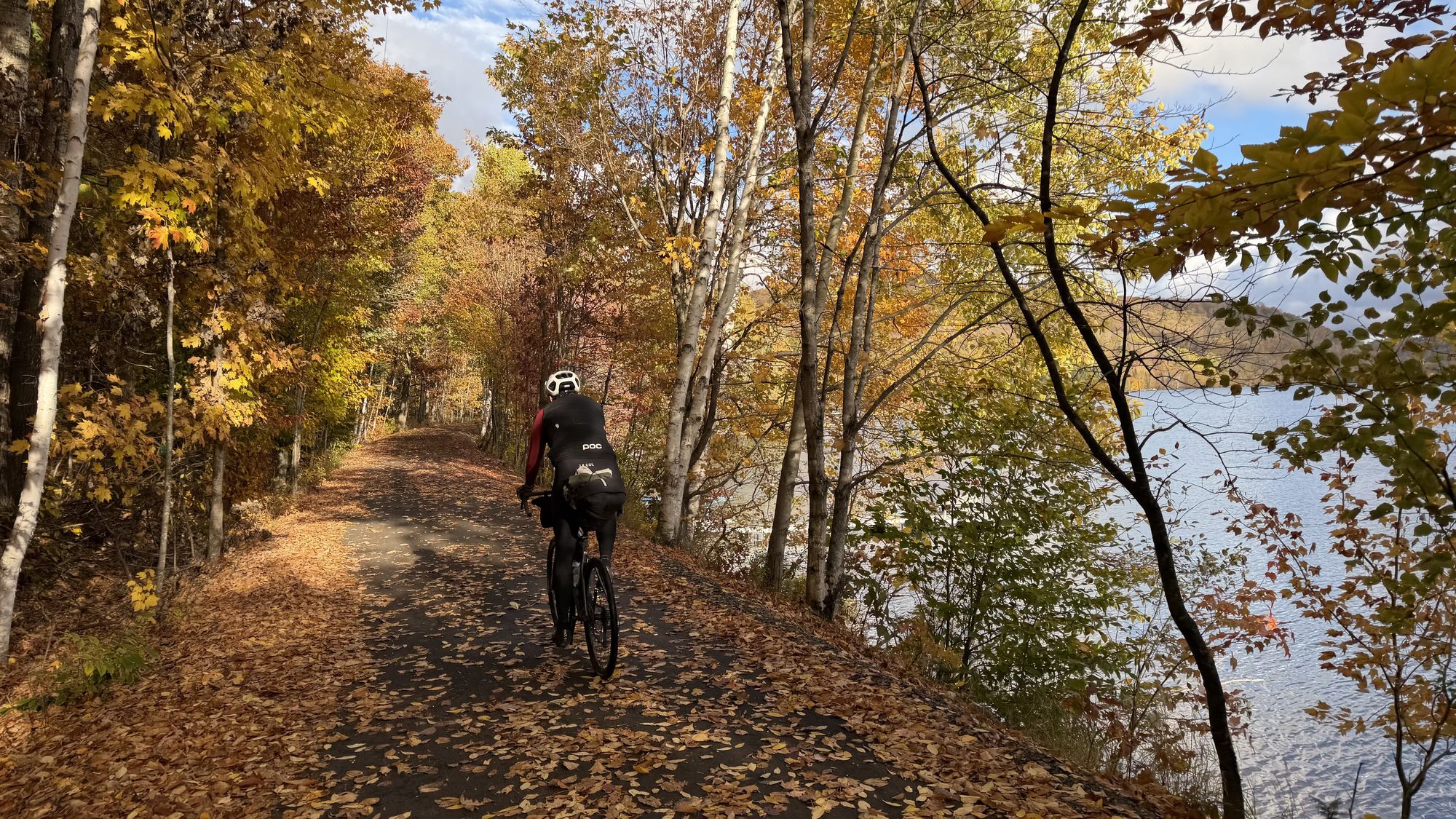
Riding the leaf-covered trail between birch trees, with a lake through the branches on the right

Mont-Laurier to Mont-Tremblant

The third of four days on Le P'tit Train du Nord: 117 km from the northern end of the trail at Mont-Laurier, back south through Nominingue and Rivière-Rouge to Mont-Tremblant.

Distance

117 km

Elevation

304 m

Ride time

5.5–6.5 hr

Difficulty

Moderate

The route

Map, elevation, and the file to take with you

⤓ Download the GPX file

About this day

Back down from the top of the line

The same trail as the day before, pointed the other way. Bagels to start, a sit-down Italian lunch in the middle, and a beautiful ride back into Tremblant to finish.

This is Day 2 in reverse, starting at the very top of the line. Mont-Laurier is where the railway ended: the first train pulled in in 1909, and passenger service ran until 1981. The old station still marks the northern end of the trail.

If you only have time to ride the trail one way, this is the direction most people pick, since the trail generally trends downhill this way. There are still a few climbs, mostly early in each day, so do not expect it to be all coasting. The shuttle bus from Saint-Jérôme will take you and your bike up to Mont-Laurier, so you can start at the top and ride the whole trail back down over two days, our Day 3 and Day 4. Spots are limited, so book ahead.

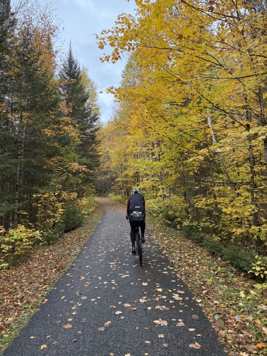
From Mont-Laurier the trail climbs gently for the first 35 km or so, to its high point near Lac-Saguay, then generally trends downhill back to Mont-Tremblant. It is paved the whole way. That climb is also the most remote part of the day. It is about 56 km to Nominingue with long gaps between towns, so leave town with enough food and water to cover around 60 km.

After Nominingue the villages come closer together. Rivière-Rouge, about 75 km in, is the natural place for lunch. The town is named for the Rouge River, which the trail follows south from here, and our lunch stop was in the L'Annonciation part of town, a short roll from its old 1903 station, now a tourist information point.

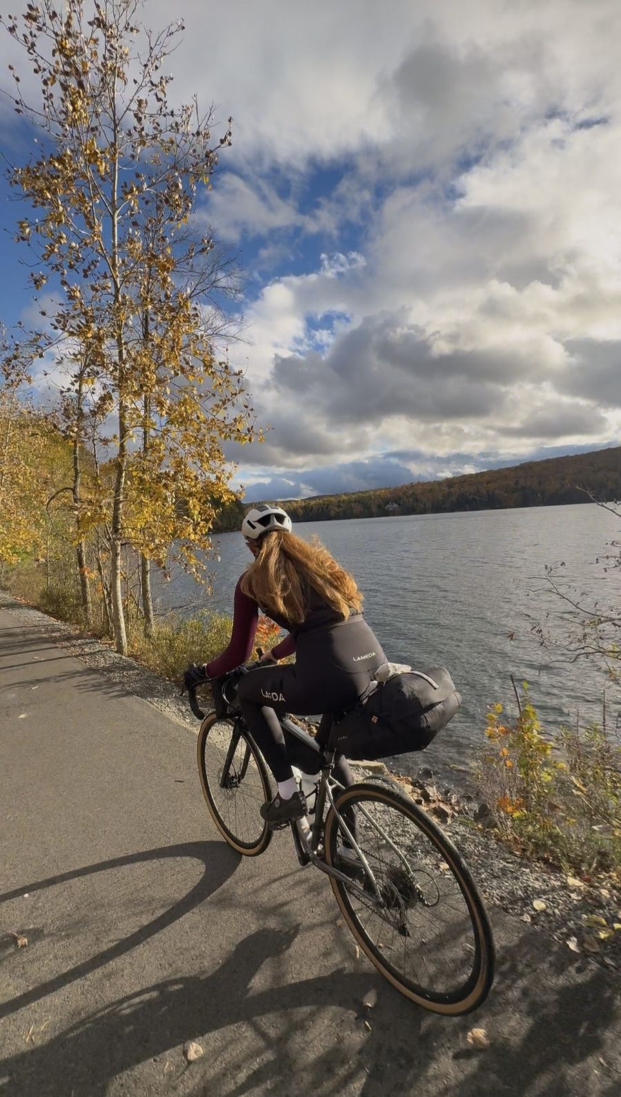
The last 40 km run back through Labelle, past its railway museum, and along the shore of Lac Mercier, our favourite view of the trip on the way out. From there the trail rolls into Mont-Tremblant, back where Day 2 began.
Along the way

Stops and tips

5 of 5 showing

Food · Before the start

Ben Bagel

0 km · Mont-Laurier

Coffees and pastries in Mont-Laurier before heading back to the trail. Eat well here, and pick up something for later. The next 60 km are the most remote of the day.

Open in Maps →
Hint · The remote stretch

The first 60 km

0–56 km · Mont-Laurier to Nominingue

There is very little between Mont-Laurier and Nominingue. Carry enough food and water for the whole stretch, and check the trail's status page before you go, since it lists closures and maintenance on this section.

Trail conditions →
Refresh · First easy refuel

Nominingue

~56 km · Nominingue

The old station sits right on the trail, and the village is a short roll away. The first place since Mont-Laurier where you can count on topping up your bottles.

Open in Maps →
Food · Lunch

Café Resto Tutto In Bocca

~75 km · Rivière-Rouge

An Italian spot a few hundred metres off the trail in Rivière-Rouge. We sat down for a proper lunch here before the final push to Tremblant. Bring cash.

Open in Maps →
Hint · The finish

Back into Mont-Tremblant

~117 km · Mont-Tremblant

The last stretch takes you back through Labelle and along Lac Mercier, the view we loved on the way out. From the trail it is a short ride up to the pedestrian village and the end of the day.

Where we stayed

Tour des Voyageurs, Mont-Tremblant

Overnight · Mont-Tremblant

Tour des Voyageurs

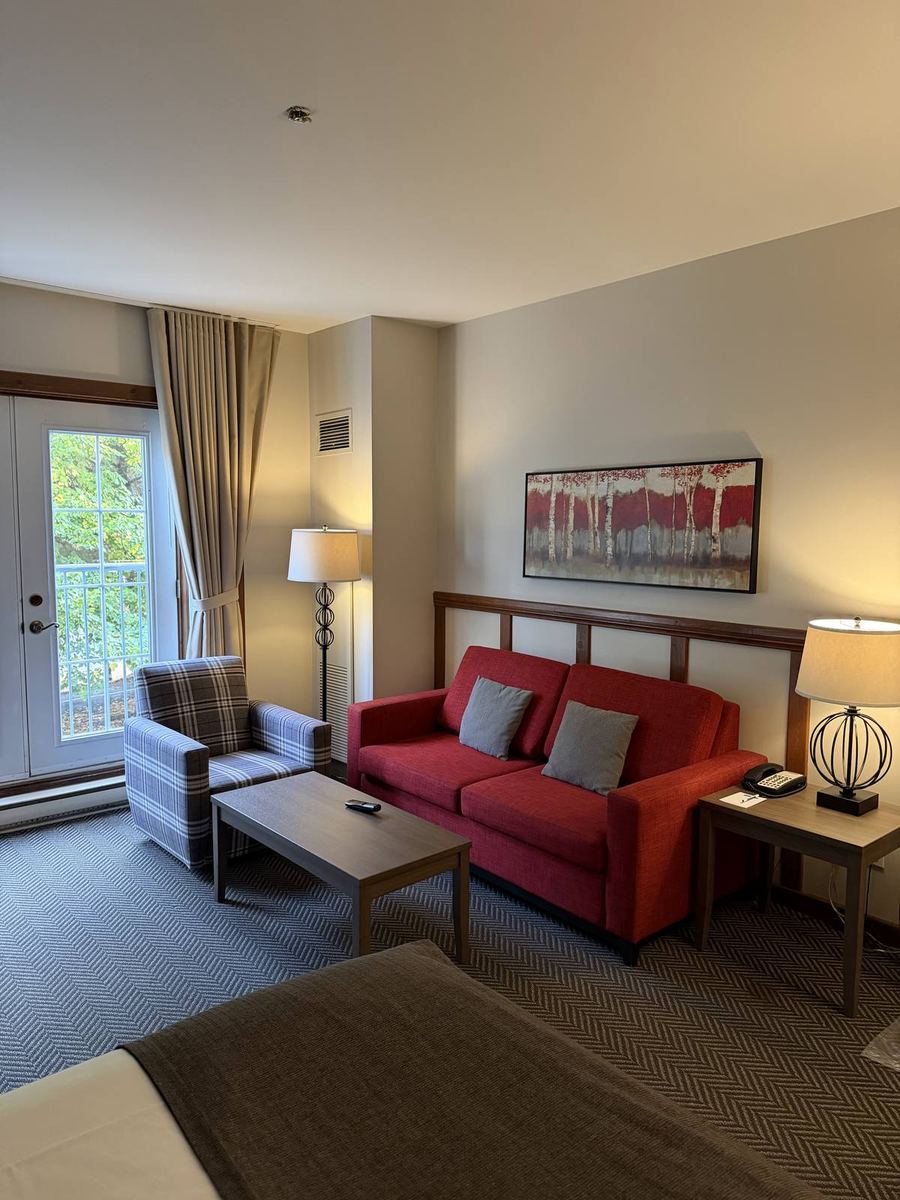
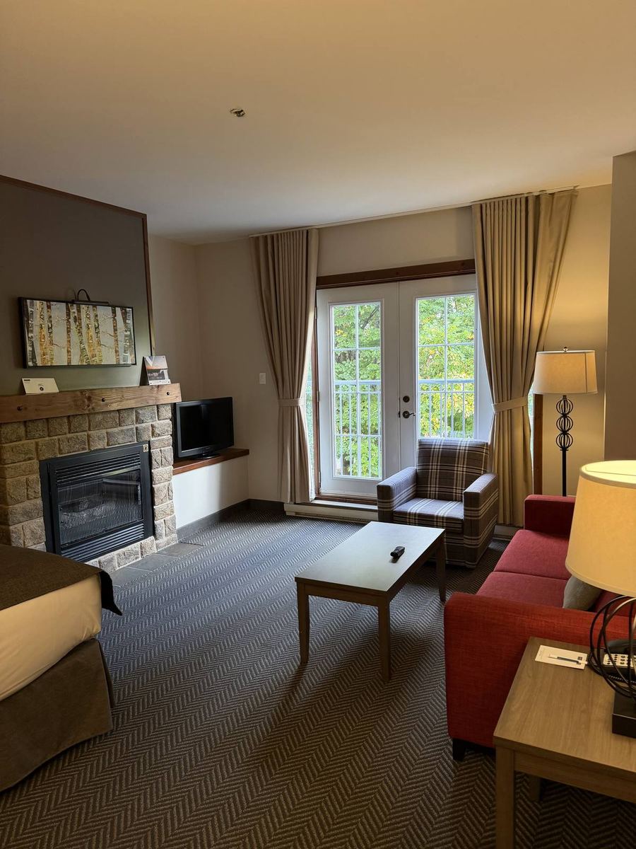
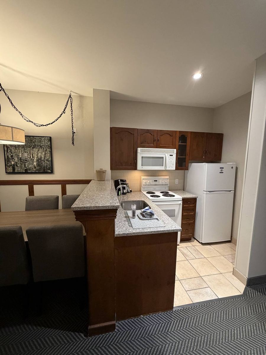
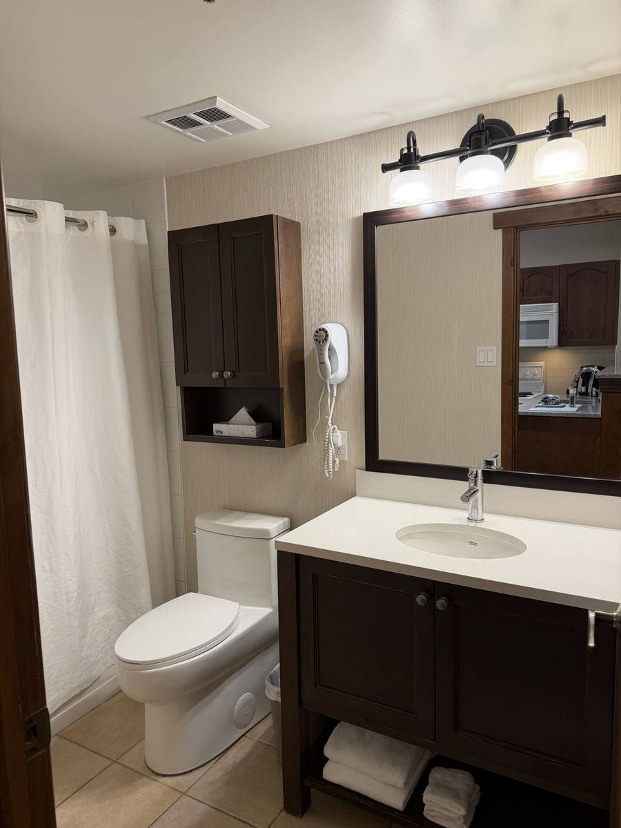
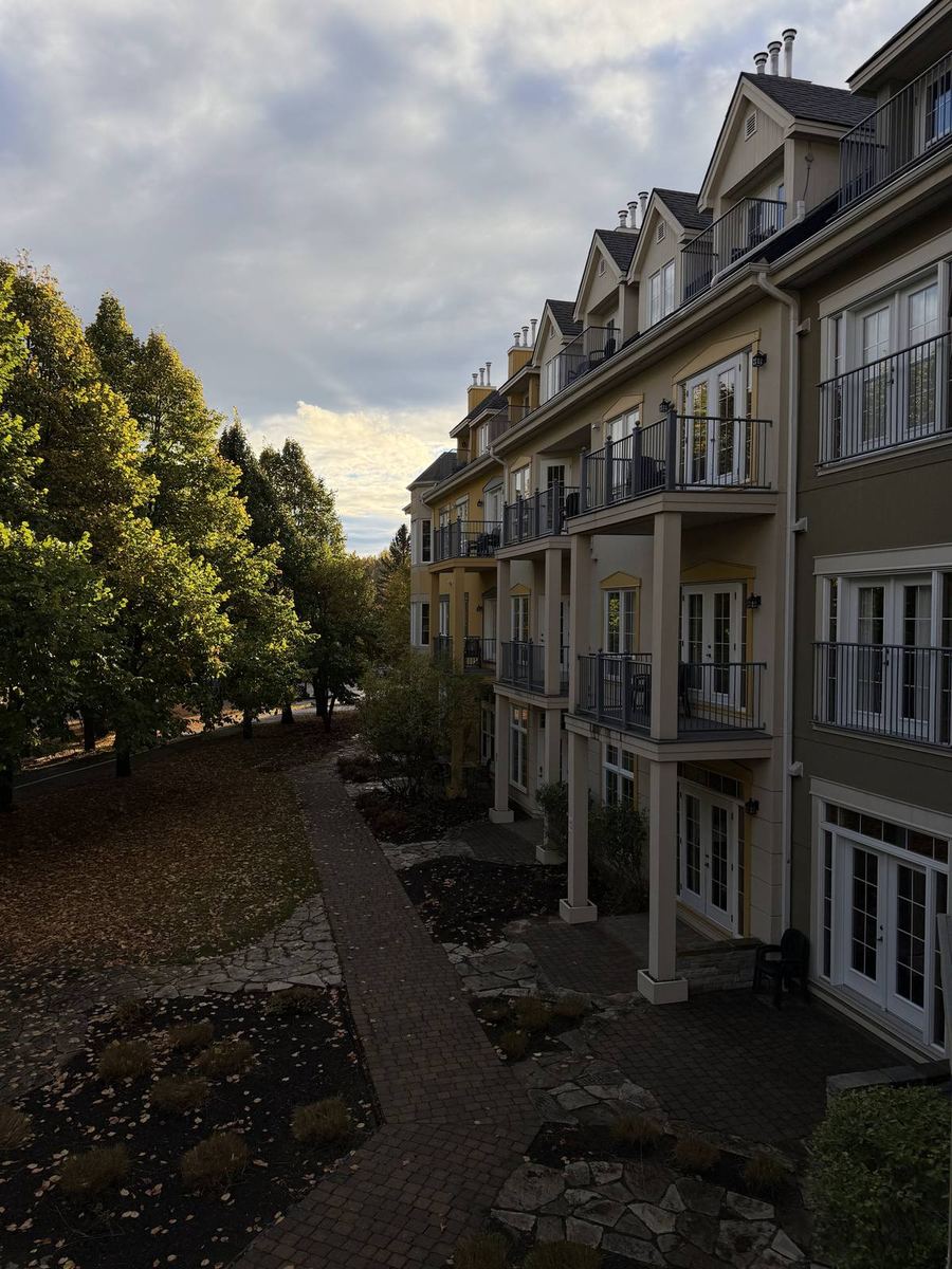
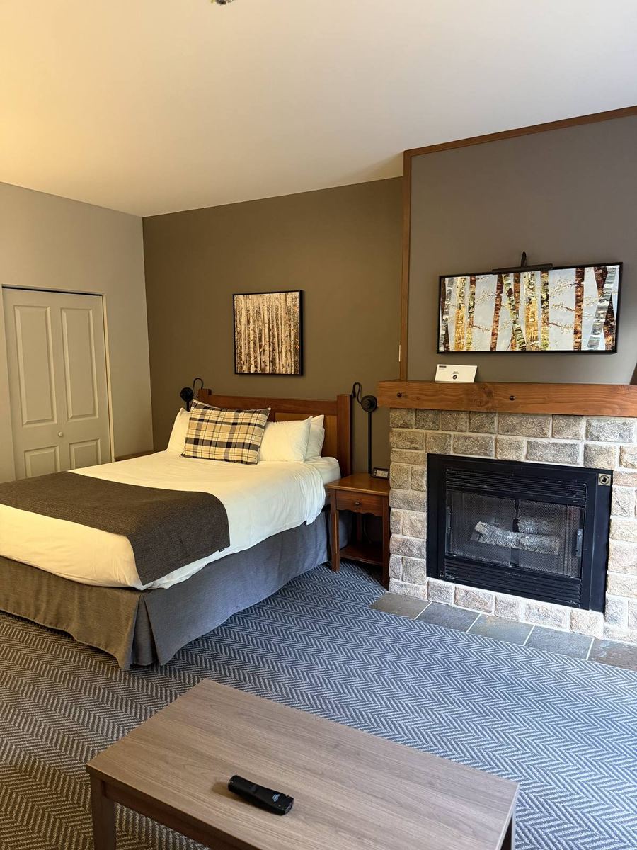
Back where we spent our first night, in Tremblant's pedestrian village at the foot of the mountain. This time we were in a studio, which had a fireplace, a full kitchen, a sofa and a balcony over the courtyard. Clean bikes can come up to the room, so give them a quick wash outside first.

The rest of the trip