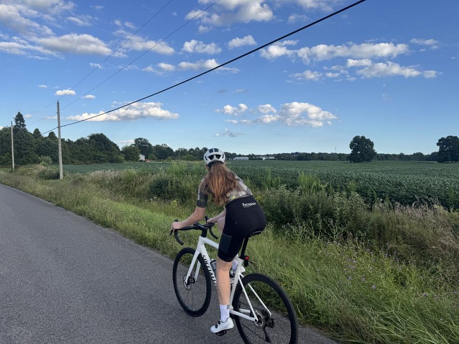
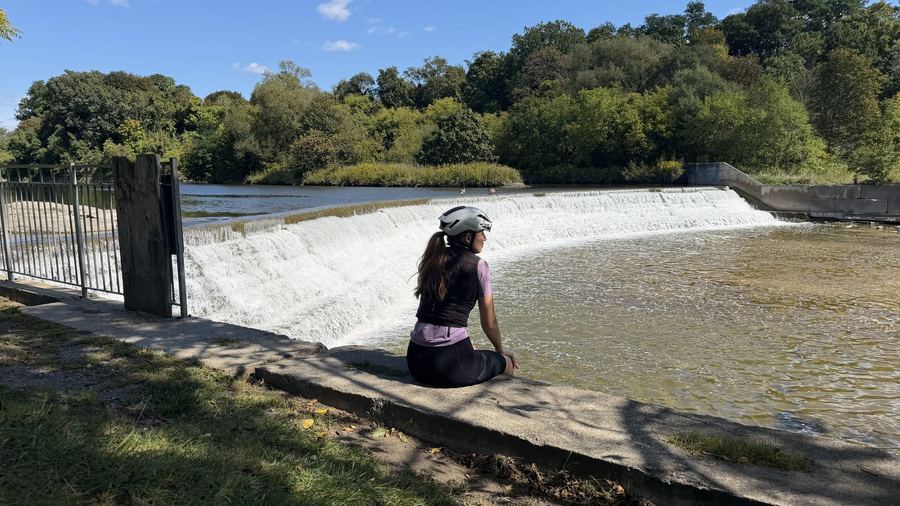
A 165 km day from the Toronto waterfront to the falls. The Waterfront Trail as far as Stoney Creek, then up the Niagara Escarpment and across farm country, reaching the falls from upriver.
Distance
165 km
Elevation
909 m
Ride time
6.5–8 hr
Difficulty
Challenging
The route
The alternative
The more travelled way, and our pick while Dewitt Road is closed. It stays with the lake through Grimsby, St. Catharines and Niagara-on-the-Lake, then follows the Niagara Parkway upriver to the falls.
Distance
167 km
Elevation
598 m
Ride time
6.5–8 hr
Difficulty
Challenging
About this ride
Ask any rider around Toronto which big day they have been meaning to do, and this is usually the answer.
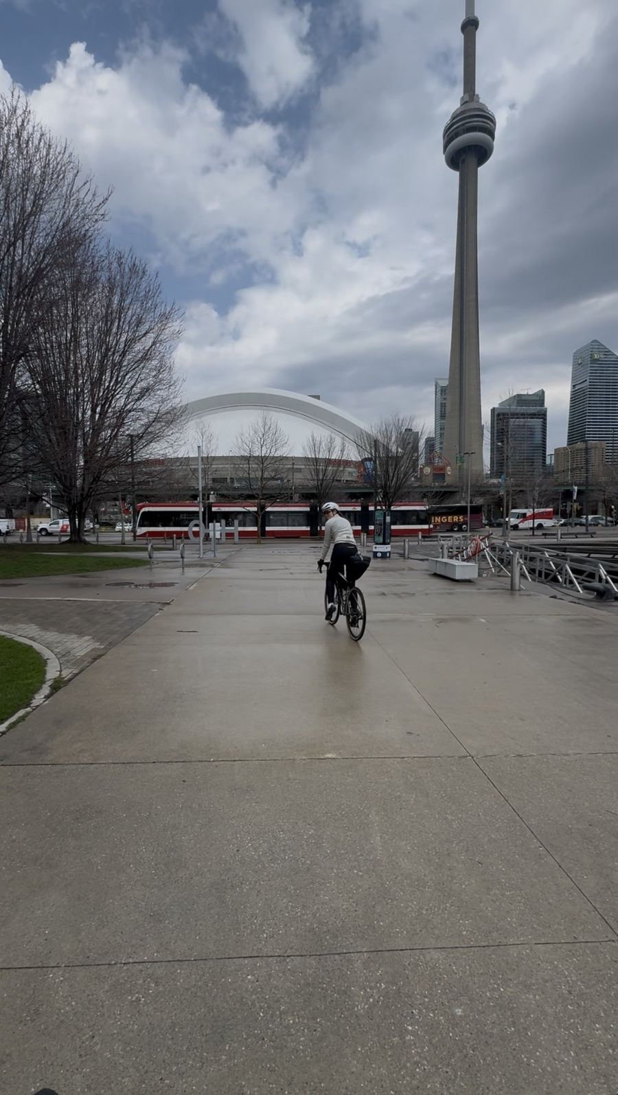
The first half of this ride is the Waterfront Trail, the signed route that follows the Lake Ontario shore through every town between Toronto and Niagara-on-the-Lake. It starts at the foot of Yonge Street, a short roll from Union Station, and carries you west through Mississauga, Oakville and Burlington on a mix of paths and lakeside streets. Around 20 km the route detours through the new Jim Tovey Lakeview Conservation Area, and coffee in Oakville comes at 48 km. Construction can close sections of the trail, so follow the detour signs where you meet them.
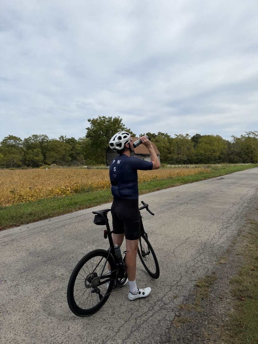
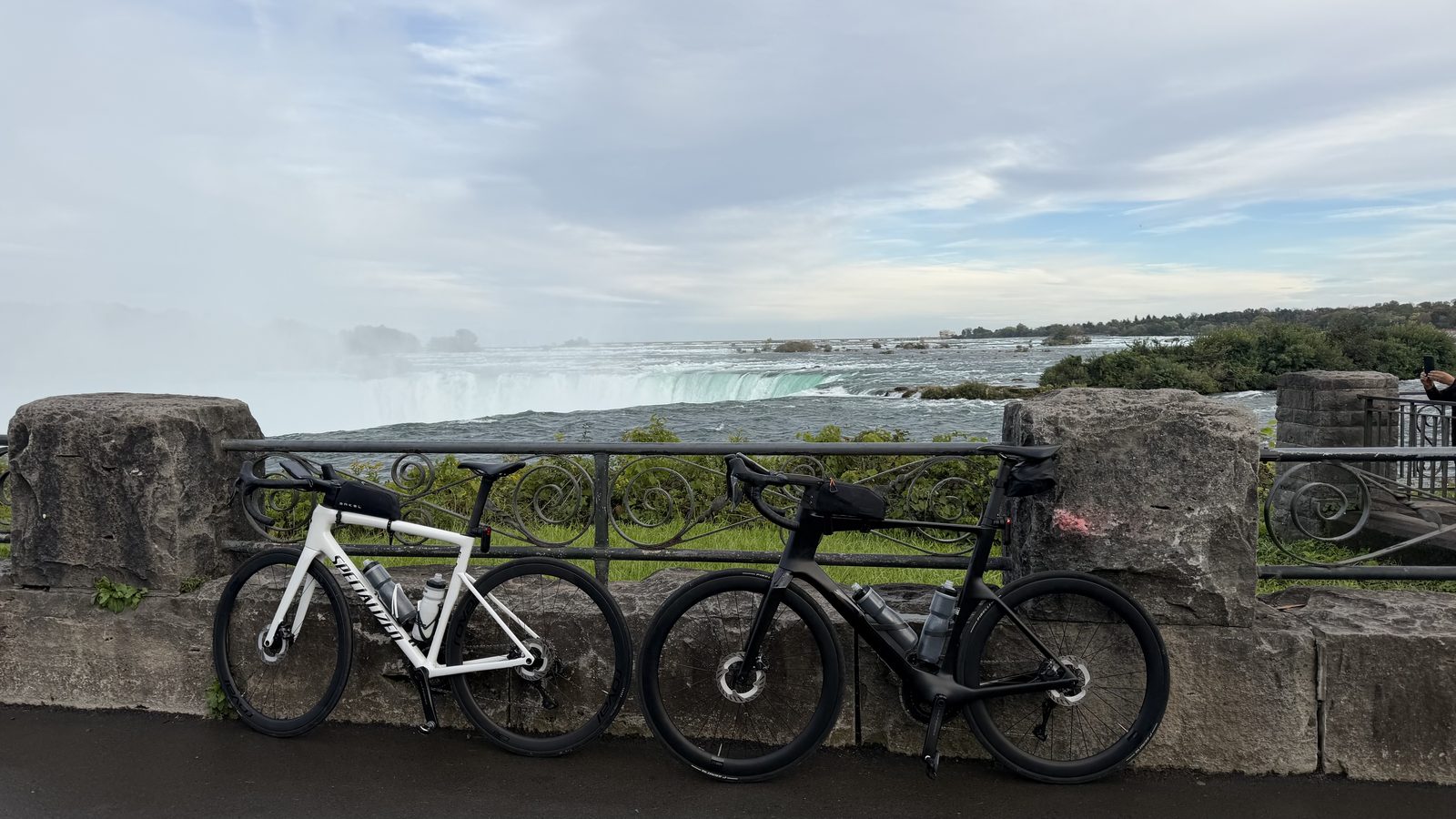
The two routes split at Stoney Creek. From there to Grimsby the Waterfront Trail runs on the service road beside the QEW. Our route climbs the Niagara Escarpment instead, the ridge that runs from here all the way to Tobermory, and stays up on top through farmland and tree-lined back roads. It crosses the Welland Canal at Allanburg and drops to the Niagara River at Chippawa, so the last few kilometres follow the river downstream to the Horseshoe Falls.
Neither route is flat. The Waterfront Trail option climbs the escarpment too, at Queenston Heights, about 15 km from the finish. Both finish at the Niagara Falls GO station, where the train takes you and your bike back to Union.
Along the way
8 of 8 showing
0 to 165 km · the full route
If this is your first ride of this length, fuelling matters more than anything else on the day. Eat and drink often from the start rather than waiting until you feel it, and carry more water than you think you need when it is hot.
0 to ~25 km · Toronto and Mississauga
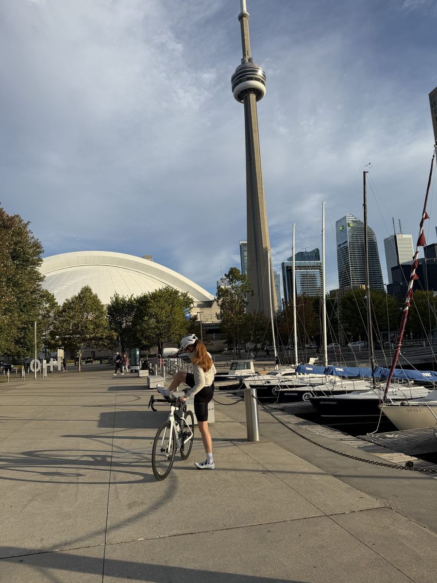
The waterfront paths out of the city get busy with walkers and riders as the day goes on. Set off early and you get them while they are still clear.
~21 km · Mississauga
Opened in 2026 on former industrial waterfront: 26 hectares of new wetland and shoreline with 1.9 km of Waterfront Trail along the lake. The GPX takes you through it on a short detour off the main line.
Open in Maps →48 km · 111 Kerr St, Oakville
Our first stop. A neighbourhood cafe on Kerr Street with baked goods and a long list of lattes. Open daily 7 to 7.
Open in Maps →~70 km · Burlington to Hamilton
A short set of stairs takes you up to the lift bridge over the canal, with a ramp alongside to walk your bike up. On the other side you ride down to the Hamilton Beach Trail, a paved path along the beach strip toward Stoney Creek.
Open in Maps →~81 km · 507 Barton St, Stoney Creek
An Italian bakery and our pizza stop, right where the two routes split. On the Escarpment route it is the last stop before the climb. Tue to Sat 8–5, Sun 8–4, closed Monday.
Open in Maps →~84 km · Stoney Creek
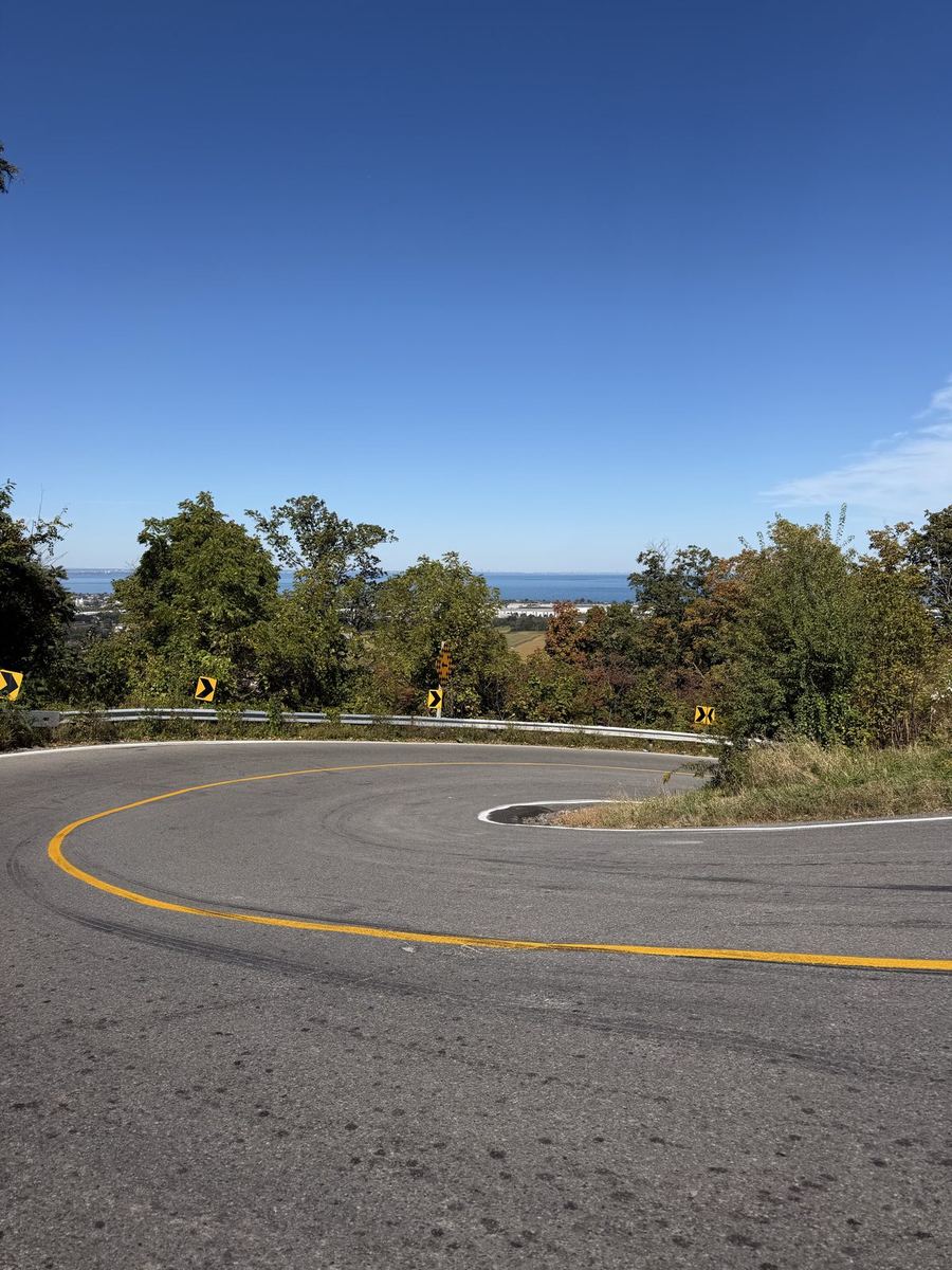
The Escarpment GPX climbs Dewitt Road, which has been closed since a rockfall in May 2026. The City of Hamilton expects it to reopen in early November, but that is tentative. We went up McNeilly Road instead, which is a tough climb with little shoulder. Until Dewitt reopens, we would take the Waterfront Trail route.
Open in Maps →165 km · Niagara Falls GO station
Both routes finish at the station. Weekend GO trains run between Niagara Falls and Union year-round, and bikes are allowed outside weekday rush hours. In summer, look for the bike coaches marked with a bicycle on the outside of the car. On a weekend, buy the $10 One-Day Weekend Pass in advance on your phone; it is not sold at the station.
GO to Niagara →From the ride


More rides